2020s Maps of Madison County, Georgia
Explore 26 historic maps of Madison County from the 2020s. These maps offer a rare glimpse into what life looked like during the 2020s — showing old roads, neighborhoods, homes, and landmarks that have changed or disappeared over time.
Whether you're researching your family's past, planning a metal detecting trip, or studying how Madison County's landscape evolved across the 2020s, these high-resolution maps are a powerful tool for exploring the history of this region.
- Focus on a specific era: All maps on this page are from the 2020s, giving you a focused view of this time period.
- See what’s changed: Compare century-old streets, trails, and buildings to today's modern landscape using overlays and satellite layers.
- Research with precision: Use these maps for genealogy, historical research, land use analysis, or educational projects.
- View, download, or print: Maps are fully viewable online in high resolution, and can be downloaded or printed for your own records.
Start exploring Madison County's history through authentic maps from the 2020s. This is your window into the past.
Madison County, GA maps
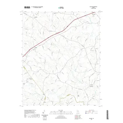
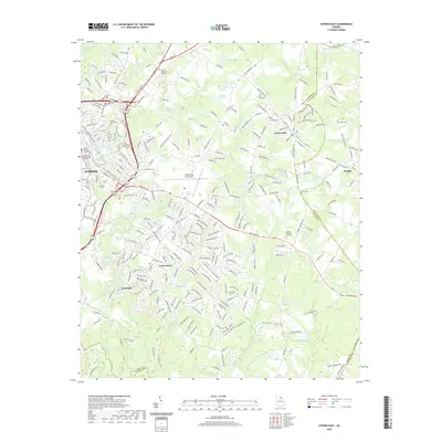
(26)- 2020 Map of Elberton West, 2020 Print
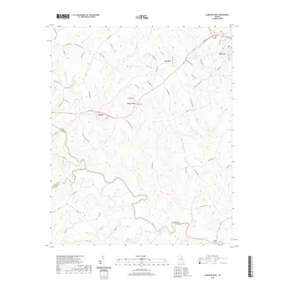 2020 Elberton West2020 Print · USGSCovers Madison County, including Elberton, Dove Creek, and other nearby areas
 - 2020 Map of Carlton, 2020 Print
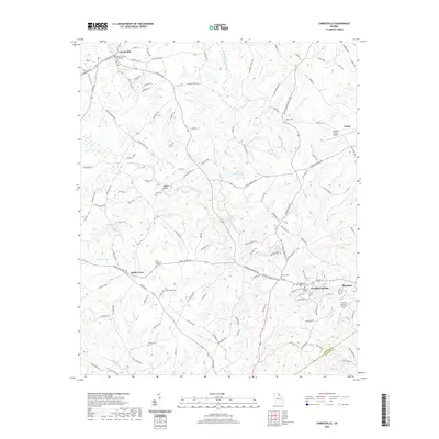
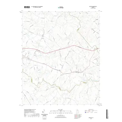 2020 Carlton2020 Print · USGSCovers Madison County, including Comer, Carlton, and other nearby areas
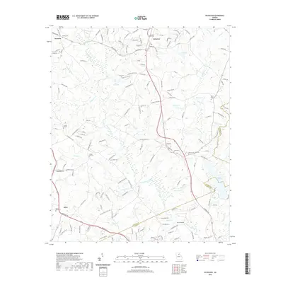
 - 2020 Map of Bowman, 2020 Print
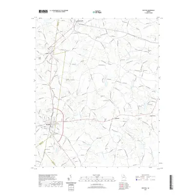
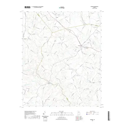 2020 Bowman2020 Print · USGSCovers Madison County, including Bowman, Reeds, and other nearby areas
 - 2020 Map of Danielsville North, 2020 Print
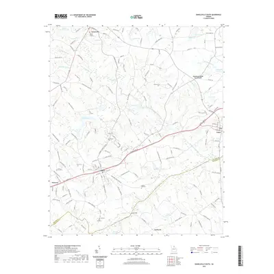
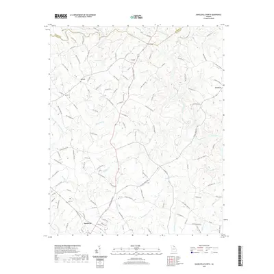 2020 Danielsville North2020 Print · USGSCovers Madison County, including Danielsville, Bluestone, and other nearby areas
 - 2020 Map of Ashland, 2020 Print
 2020 Ashland2020 Print · USGSCovers Madison County, including Carnesville, Hebron, and other nearby areas
 - 2020 Map of Nicholson, 2020 Print
 2020 Nicholson2020 Print · USGSCovers Madison County, including Athens, Nicholson, and other nearby areas
 - 2020 Map of Commerce, 2020 Print
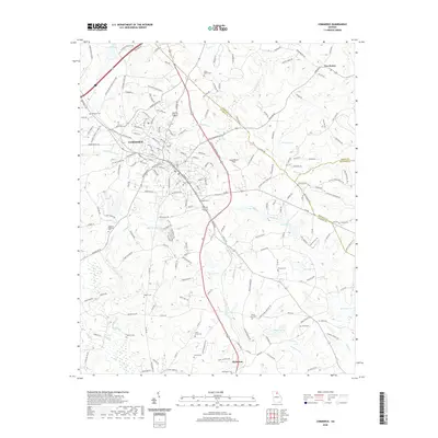 2020 Commerce2020 Print · USGSCovers Madison County, including Commerce, Nicholson, and other nearby areas
 - 2020 Map of Hull, 2020 Print
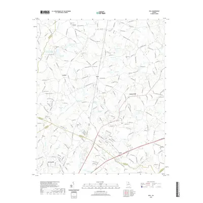 2020 Hull2020 Print · USGSCovers Madison County, including Athens, Hull, and other nearby areas
 - 2020 Map of Danielsville South, 2020 Print
 2020 Danielsville South2020 Print · USGSCovers Madison County, including Comer, Colbert, and other nearby areas
 - 2020 Map of Carnesville, 2020 Print
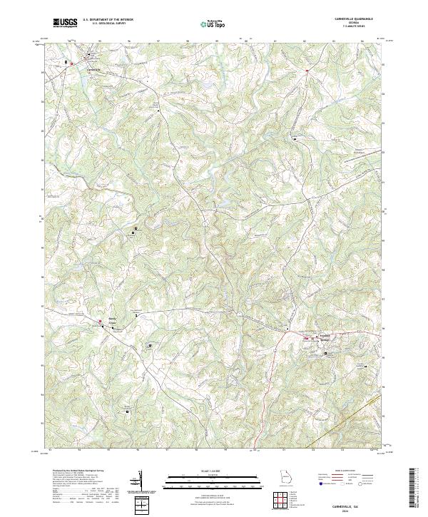
 2020 Carnesville2020 Print · USGSCovers Madison County, including Royston, Franklin Springs, and other nearby areas
 - 2020 Map of Ila, 2020 Print
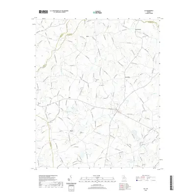 2020 Ila2020 Print · USGSCovers Madison County, including Ila, Alvin, and other nearby areas
 - 2020 Map of Royston, 2020 Print
 2020 Royston2020 Print · USGSCovers Madison County, including Royston, Bowersville, and other nearby areas
 - 2020 Map of Athens East, 2020 Print
 2020 Athens East2020 Print · USGSCovers Madison County, including Athens, Winterville, and other nearby areas
 - 2024 Map of Ashland, 2024 Print
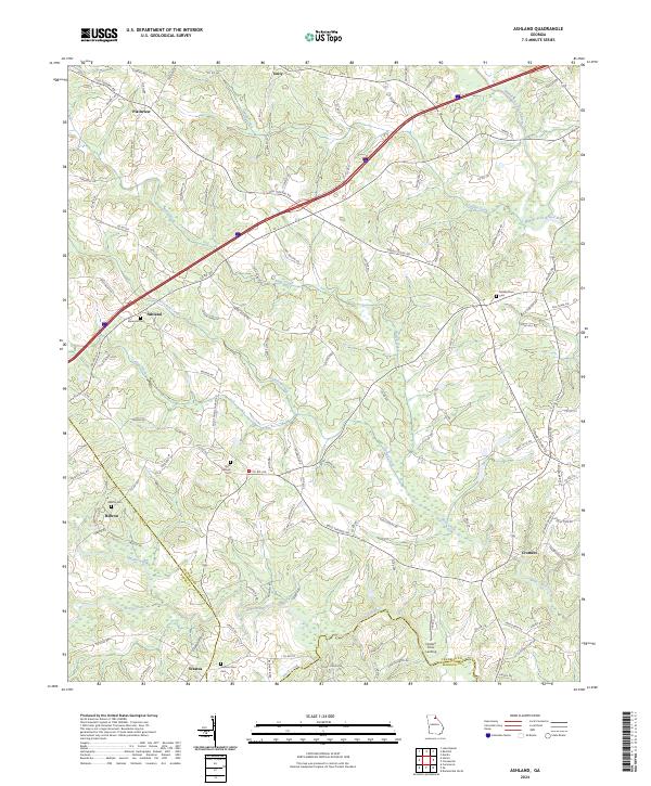 2024 Ashland2024 Print · USGSFranklin County and its neighbors are shown here in recent years as a landscape of rural communities and historic routes. Genealogists can trace family landmarks and local burial sites like Hebron Cem, Hudson River Cem, and the old settlement at Ashland.
 - 2024 Map of Commerce, 2024 Print
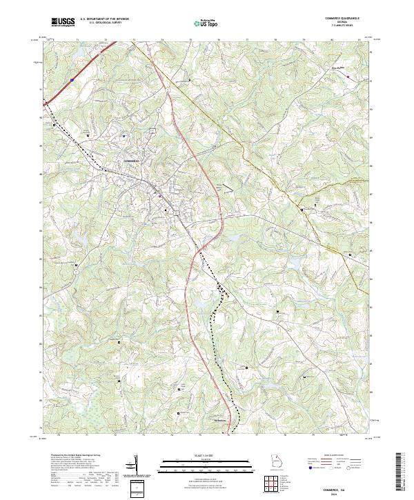 2024 Commerce2024 Print · USGSJackson County at the turn of the twenty-first century reveals a landscape defined by the industrial growth of Commerce and traditional rural settlements. Researchers can trace local heritage through a network of historic burial grounds like Berea Cem, Rogers Cem, and Old Harden Cem.
 - 2024 Map of Danielsville North, 2024 Print
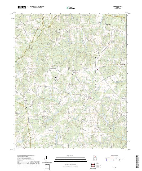
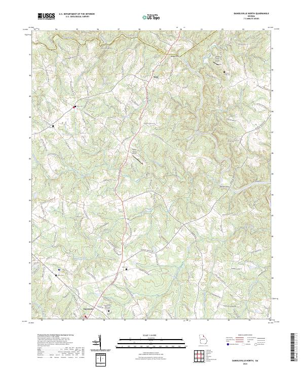 2024 Danielsville North2024 Print · USGSMadison County's river valleys and rural crossroads are captured here as they appeared in the twenty-first century. Researchers can locate ancestral burial grounds at Shiloh Cem and Ware Cem or trace old river crossings at Bragg Ferry.
 - 2024 Map of Carnesville, 2024 Print
 2024 Carnesville2024 Print · USGSFranklin County at the dawn of the 2020s shows a landscape of established colleges and historic county seats centered on the Broad River forks. Genealogists can trace family names through Zidon Cem, Crow Cem, and the grounds of Emmanuel College.
 - 2024 Map of Danielsville South, 2024 Print
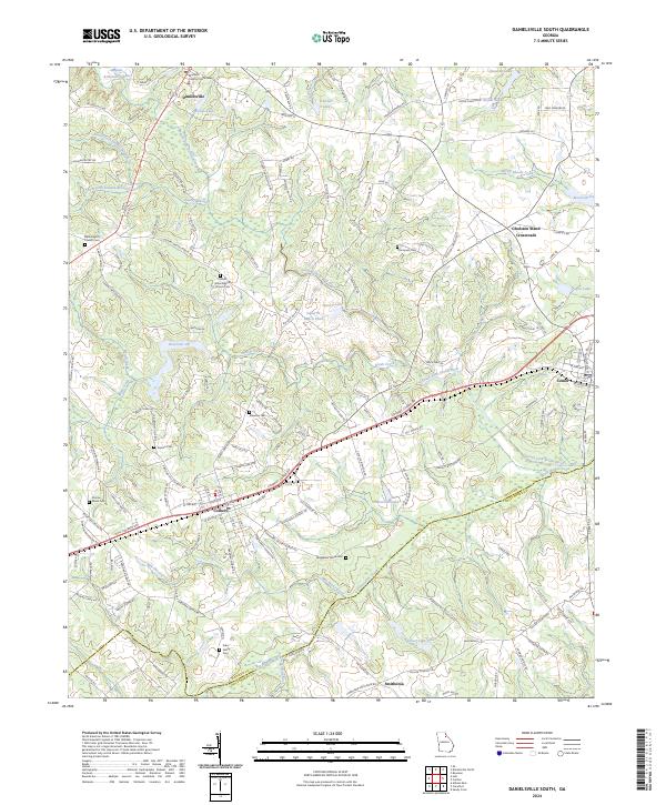 2024 Danielsville South2024 Print · USGSNortheastern Georgia's rolling landscape is captured in the modern era as Danielsville and Colbert continue to serve as local hubs. Genealogists can trace family lines at several small burial grounds, including Kincaid Cem and Waggoner Grove Cem.
 - 2024 Map of Bowman, 2024 Print
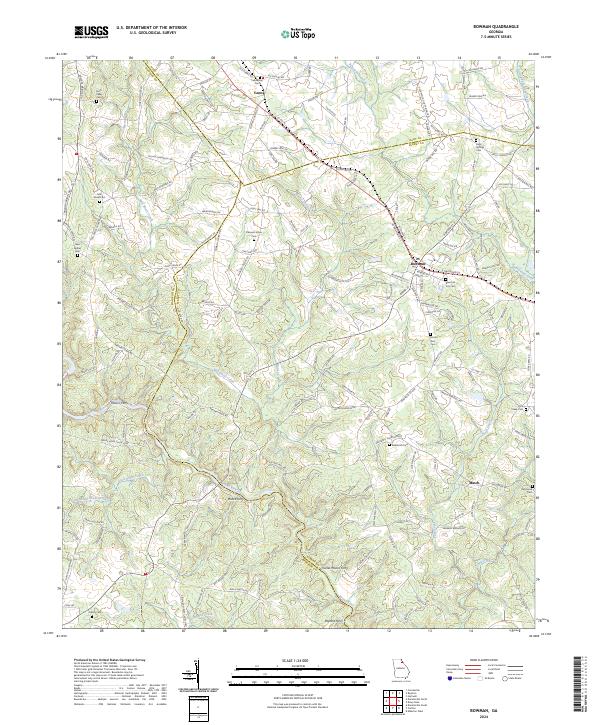 2024 Bowman2024 Print · USGSThe Northeast Georgia plateau comes into focus in this recent survey, showcasing the rural landscapes between the Broad River and the Elbert-Madison county line. Genealogists can trace family landmarks like Bowman City Cem, Holly Springs Cem, and old river crossings at Moore Ferry.
 - 2024 Map of Nicholson, 2024 Print
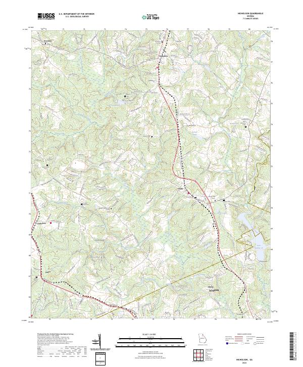 2024 Nicholson2024 Print · USGSJackson and Clarke counties are shown in this modern survey of the North Georgia landscape. Genealogists can trace family footprints across Stapler Cem, Mizpah Cem, and the community of Clarksboro.
 - 2024 Map of Elberton West, 2024 Print
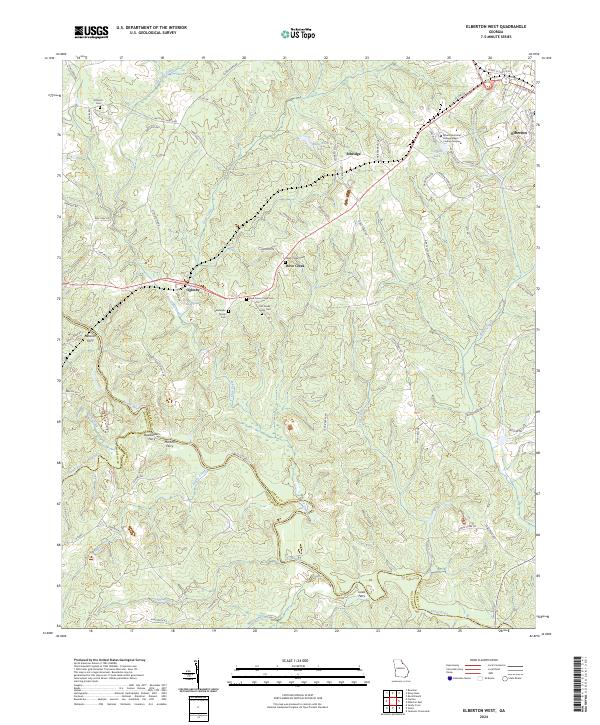 2024 Elberton West2024 Print · USGSElbert County is defined by its historic river crossings and small crossroads settlements during this modern era. Researchers can trace ancestral sites at Deadwyler Family Cem or locate old river transit points like Deadwylers Ferry and Martins Ferry.
 - 2024 Map of Carlton, 2024 Print
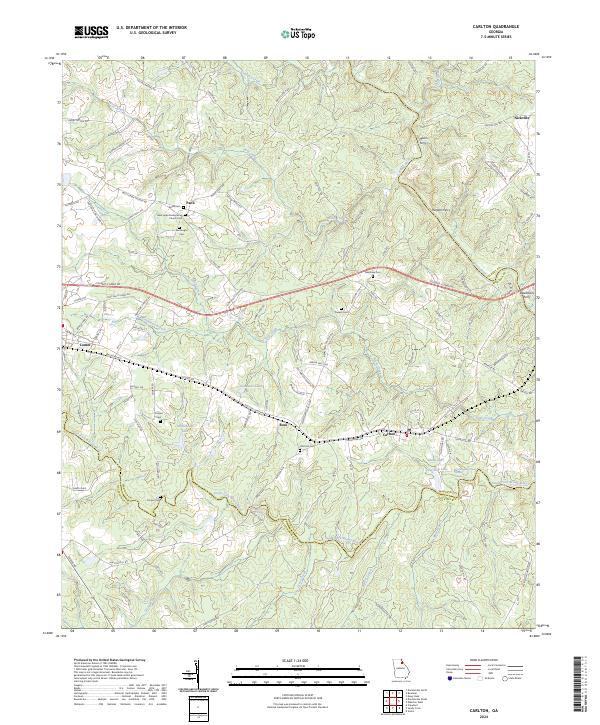 2024 Carlton2024 Print · USGSNortheast Georgia at the turn of the decade is defined by the convergence of the Broad River and its South Fork near the town of Carlton. Genealogists and historians can trace old family burial grounds like Old Fork Cem and find historical river crossings at Moon Ferry or Harpers Ferry.
 - 2024 Map of Royston, 2024 Print
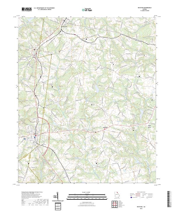 2024 Royston2024 Print · USGSThe tri-county junction of Franklin, Madison, and Hart counties comes alive in this detailed look at Royston and its neighboring rural townships. Genealogists and historians can trace family locations near Goldmine, Bowersville, and along the banks of Beaverdam Creek.
 - 2024 Map of Hull, 2024 Print
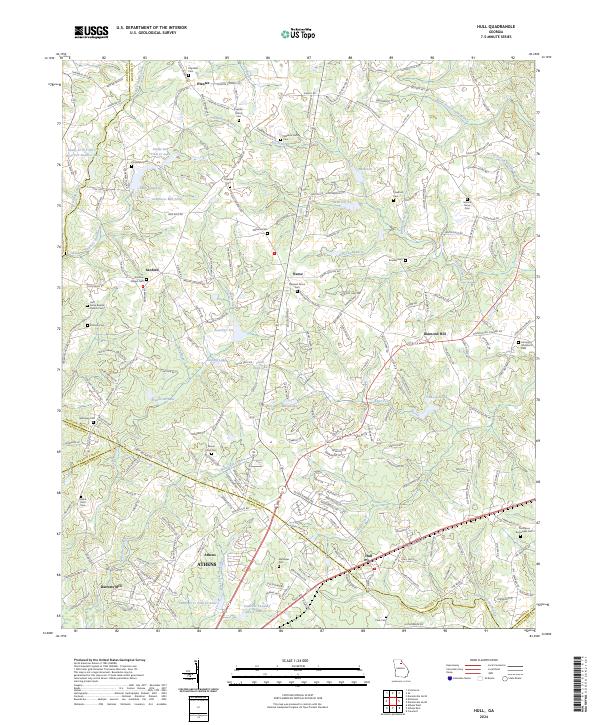 2024 Hull2024 Print · USGSHull and the Georgia Piedmont crossroads are captured here during a period of steady rural growth and suburban expansion. Genealogists can trace family heritage at Fairplay Church Cem, Moons Grove Cem, or the mill site at Seagraves Mill Pond.
 - 2024 Map of Ila, 2024 Print
 2024 Ila2024 Print · USGSNortheast Georgia farm country is captured here in the contemporary era, showing the meeting point of Madison, Franklin, and Jackson counties. Local historians can trace family roots through sites like the Stephen White Family Cem, Fort Lamar, and Pocataligo.
Showing maps 1-25 of 26
Top cities of Madison County
- Comer historical maps
- Colbert historical maps
- Danielsville historical maps
- Ila historical maps
- Carlton historical maps
- Hull historical maps
Frequently asked questions
- What are the different types of historical maps available for Madison County?
- What is the oldest map of Madison County?
- Where can I purchase historical maps of Madison County for my home or office?
- Where can I download high-res historical maps of Madison County?
- Are there historical topographic maps available for Madison County?
- Is there historical aerial imagery available for Madison County?
- Where are historical maps of Madison County sourced from?