2000s (21st Century) Maps of Pelham, Georgia
Explore 10 historic maps of Pelham from the 2000s (21st Century). These maps offer a rare glimpse into what life looked like during the 2000s — showing old roads, neighborhoods, homes, and landmarks that have changed or disappeared over time.
Whether you're researching your family's past, planning a metal detecting trip, or studying how Pelham's landscape evolved across the 2000s, these high-resolution maps are a powerful tool for exploring the history of this region.
- Focus on a specific era: All maps on this page are from the 2000s, giving you a focused view of this time period.
- See what’s changed: Compare century-old streets, trails, and buildings to today's modern landscape using overlays and satellite layers.
- Research with precision: Use these maps for genealogy, historical research, land use analysis, or educational projects.
- View, download, or print: Maps are fully viewable online in high resolution, and can be downloaded or printed for your own records.
Start exploring Pelham's history through authentic maps from the 2000s. This is your window into the past.
Pelham, GA maps
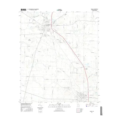
(10)- 2011 Map of Camilla, 2011 Print
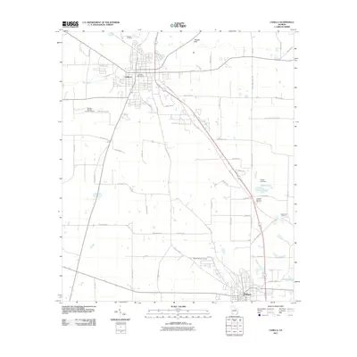 2011 Camilla2011 Print · USGSCovers Pelham, including Camilla, Mitchell County, and other nearby areas
 - 2011 Map of Pelham, 2011 Print
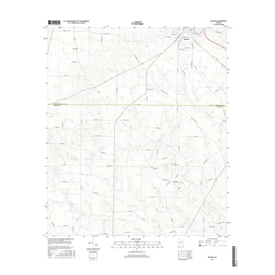
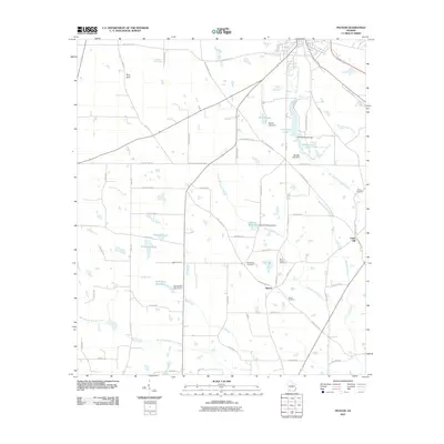 2011 Pelham2011 Print · USGSCovers Pelham, including Union Hill, Spence, and other nearby areas
 - 2014 Map of Pelham, 2014 Print
 2014 Pelham2014 Print · USGSCovers Pelham, including Union Hill, Spence, and other nearby areas
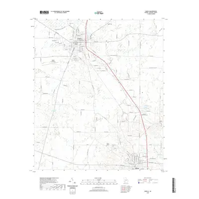
 - 2014 Map of Camilla, 2014 Print
 2014 Camilla2014 Print · USGSCovers Pelham, including Camilla, Mitchell County, and other nearby areas
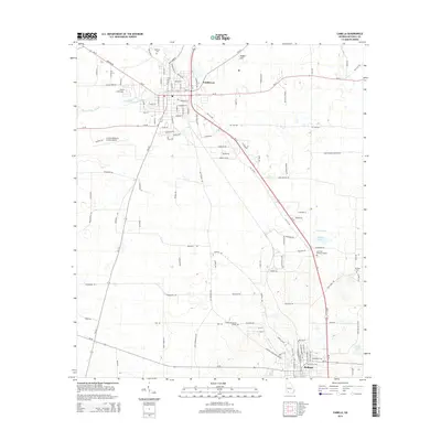
 - 2017 Map of Camilla, 2017 Print
 2017 Camilla2017 Print · USGSCovers Pelham, including Camilla, Mitchell County, and other nearby areas
 - 2017 Map of Pelham, 2017 Print
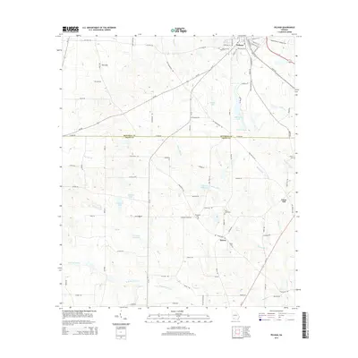
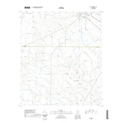
 2017 Pelham2017 Print · USGSCovers Pelham, including Union Hill, Spence, and other nearby areas
 - 2020 Map of Camilla, 2020 Print
 2020 Camilla2020 Print · USGSCovers Pelham, including Camilla, Mitchell County, and other nearby areas
 - 2020 Map of Pelham, 2020 Print
 2020 Pelham2020 Print · USGSCovers Pelham, including Union Hill, Spence, and other nearby areas
 - 2024 Map of Camilla, 2024 Print
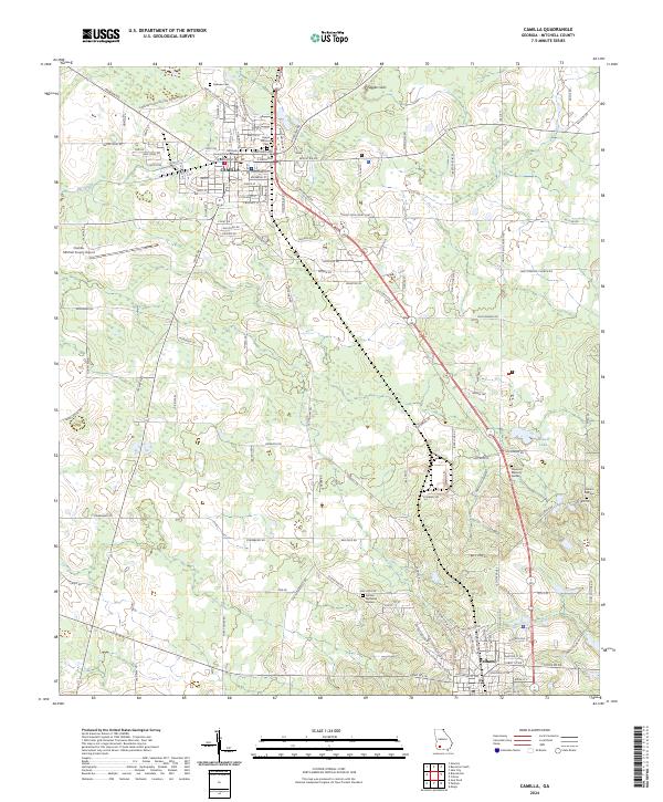 2024 Camilla2024 Print · USGSIn the heart of South Georgia during the early twenty-first century, this area reveals a landscape of county governance and rural tradition. Genealogists can trace family names across Sunset Historical Cem, Oakview Cem, and the Mitchell County Courthouse.
 - 2024 Map of Pelham, 2024 Print
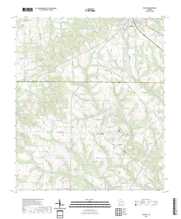 2024 Pelham2024 Print · USGSPelham and the surrounding South Georgia countryside are captured here in the early twenty-first century as the railroad and Dixie Highway continue to shape local life. Researchers can locate family landmarks like the Macedonia Baptist Church Cem and Carter Banks Cem, or trace water features like Spence Millpond.
End of results
Showing maps 1-10 of 10
Top cities near Pelham
- Cairo historical maps
- Camilla historical maps
- Meigs historical maps
- Newton historical maps
- Doerun historical maps
- Ochlocknee historical maps
See more
Frequently asked questions
- What are the different types of historical maps available for Pelham?
- What is the oldest map of Pelham?
- Where can I purchase historical maps of Pelham for my home or office?
- Where can I download high-res historical maps of Pelham?
- Are there historical topographic maps available for Pelham?
- Is there historical aerial imagery available for Pelham?
- Where are historical maps of Pelham sourced from?