Old Maps of Strouds, Georgia for Academic Research
Study the evolution of Strouds with 11 high-resolution historic maps. Whether you're teaching, researching, or modeling changes in land use, these maps provide essential visual documentation of urban, environmental, and geographic change.
- Analyze long-term change: Track patterns in development, transportation, and natural features.
- Ideal for environmental or urban studies: Support academic projects with primary historical map data.
- Use in the classroom or lab: Educators and researchers rely on these maps to bring historical context to life.
These maps are a powerful tool for teaching, research, and visualizing how Strouds has changed over the decades.
Strouds, GA maps
(11)- 1951 Map of Yatesville, 1952 Print
 1951 Yatesville1952 Print · USGSIn the early 1950s, this Georgia landscape was defined by the crossing of the Central of Georgia and Southern railroads. Local researchers can trace family names and small-town life through landmarks like Topeka Junction, Anniebel Sch, and Andrews Chapel.3 unique versions available
 - 1955 Map of Phenix City, 1964 Print
 1955 Phenix City1964 Print · USGSPost-war Alabama and Georgia meet along the Chattahoochee River as industry and military installations expand. Trace the rail lines of the Central of Georgia through towns like Opelika, Tuskegee, and Alexander City.3 unique versions available
 - 1957 Map of Phenix City
 1957 Phenix City1957 Print · USGSThe Alabama-Georgia borderlands are captured here in the mid-fifties, centered on the bustling river crossing at Phenix City and Columbus. Researchers can trace the mid-century footprint of the Fort Benning Military Reservation or locate smaller textile and railroad towns like Langdale and Camp Hill.
 - 1958 Map of Phenix City
 1958 Phenix City1958 Print · USGSThe Alabama-Georgia borderlands thrive during the late fifties, anchored by the river-driven industry of Columbus and Phenix City. Researchers can trace the mid-century footprints of Fort Benning, Auburn, and the textile towns of Fairfax and Lanett.
 - 1974 Map of Strouds, 1976 Print
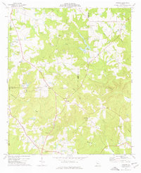 1974 Strouds1976 Print · USGSMonroe County's rural landscape is captured here in the mid-seventies as traditional farming communities like Strouds and Brent persisted. Researchers can trace family history through sites like Sardis Cem and the Southern railroad corridor.
 - 1981 Map of Thomaston, 1982 Print
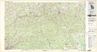 1981 Thomaston1982 Print · USGSCentral Georgia’s ridgeline and river country comes into focus in this early 1980s survey of the Pine Mountain corridor. Researchers can trace historic church sites like Oak Grove Ch, the rail junctions at Manchester, and the expansive Franklin D Roosevelt State Park.
 - 2011 Map of Strouds, 2011 Print
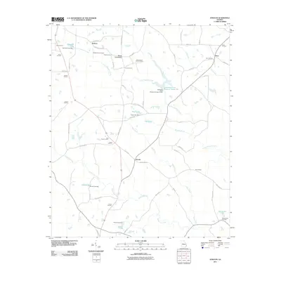 2011 Strouds2011 Print · USGSAcross this Georgia landscape in the early 2010s, small settlements and family burial grounds reflect a deep-rooted rural history. Genealogists can trace family names at Sheran-Horne-Smith Cemetery, Strouds, and Horns Crossroads amidst the waters of Echeconnee Creek.
 - 2014 Map of Strouds, 2014 Print
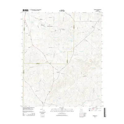 2014 Strouds2014 Print · USGSThe crossroads communities of Lamar and Monroe counties are preserved here in the early twenty-first century. Genealogists can trace family heritage across a high density of burial sites including King Chapel Cem, Pringle Cem, and Brent Cem.
 - 2017 Map of Strouds, 2017 Print
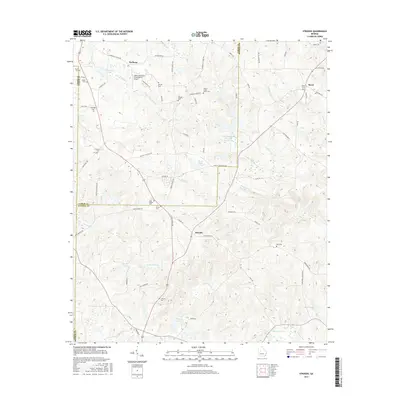 2017 Strouds2017 Print · USGSAcross the junction of Lamar and Monroe counties in the late twenty-teens, this map traces a deeply rooted rural landscape. Researchers can locate numerous family burial sites like Ramah Cem and Pringle Cem alongside the waters of Echeconnee Cr.
 - 2020 Map of Strouds, 2020 Print
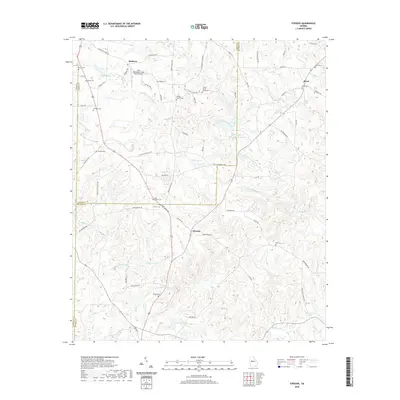 2020 Strouds2020 Print · USGSLamar and Monroe Counties are captured here in the early twenty-first century, showing a rural landscape where family legacies remain tied to the soil. Genealogists can trace ancestral sites at Ramah Church Cem, Bird Cem, and Sardis Cem along the waters of Wolfe Cr.
 - 2024 Map of Strouds, 2024 Print
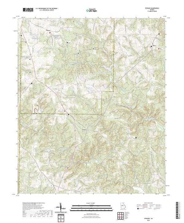 2024 Strouds2024 Print · USGSMonroe and Lamar Counties are mapped here in the early twenty-first century, showing a landscape of family farms and creek-fed valleys. Genealogists can locate numerous burial sites such as Pierson Family Cem and King Chapel Cem near the community of Strouds.
End of results
Showing maps 1-11 of 11
Top cities near Strouds
- Macon historical maps
- Barnesville historical maps
- Forsyth historical maps
- Roberta historical maps
- Milner historical maps
- Yatesville historical maps
See more
Frequently asked questions
- What are the different types of historical maps available for Strouds?
- What is the oldest map of Strouds?
- Where can I purchase historical maps of Strouds for my home or office?
- Where can I download high-res historical maps of Strouds?
- Are there historical topographic maps available for Strouds?
- Is there historical aerial imagery available for Strouds?
- Where are historical maps of Strouds sourced from?