Old Maps of Bostwick, Georgia
Explore 25 old maps of Bostwick, spanning from 1896 to today. These high-resolution historic maps reveal how streets, neighborhoods, landmarks, and natural features evolved over time — perfect for genealogy, metal detecting, research, and local history exploration.
What you can do with these maps:
- See how Bostwick changed over time: Compare historical maps to modern-day views to trace roads, homesites, rail lines & more.
- View detailed metadata: Each map includes creators, publishers, year, scale, and archive source.
- Overlay maps with satellite & LiDAR: Visualize the past alongside modern tools to explore terrain & human change.
- Trusted historical sources: Maps sourced from the USGS, Library of Congress, and other archives.
- Access maps your way: View online, download high-res files, or order prints for personal or research use.
Start exploring old maps of Bostwick to uncover forgotten places, hidden landmarks, and the deep history beneath your feet.
Bostwick, GA maps
(25)- 1896 Map of Monroe
 1896 Monroe1896 Print · USGSNorth-central Georgia thrives during the late nineteenth century as a hub of river-powered industry and rail expansion. Genealogists and historians can trace family locations near Salem Camp Ground, the local commerce at Carithers Store, and several early crossings like Bells Bridge.5 unique versions available
 - 1953 Map of Athens, 1966 Print
 1953 Athens1966 Print · USGSGeorgia's Piedmont and Savannah River borderlands come alive in this mid-century survey of the region surrounding Athens and Augusta. Trace the rail-and-river economy through the Georgia RR and landmarks like the Fort Gordon Military Reservation.3 unique versions available
 - 1958 Map of Athens
 1958 Athens1958 Print · USGSNorth-central Georgia and the Savannah River valley are captured in the late fifties, showing the region as the new reservoirs were filling. Researchers can trace historic rail lines like the Georgia RR and locate rural landmarks such as Social Circle, Graves Mountain, and the Fort Gordon Military Reservation.
 - 1959 Map of Athens
 1959 Athens1959 Print · USGSNortheast Georgia and the South Carolina borderlands appear here in the mid-fifties, during a decade of infrastructure growth. Genealogists and historians can trace the rail-and-river geography of towns like Social Circle, the sprawl of Fort Gordon Military Reservation, and the newly formed Clark Hill Reservoir.
 - 1963 Map of Athens
 1963 Athens1963 Print · USGSGeorgia's Piedmont and the Savannah River valley are captured in the early sixties as major reservoirs and military installations reshaped the landscape. Researchers can trace the development of Clark Hill Reservoir, locate the Fort Gordon Military Reservation, and find historic towns like Social Circle and Eatonton.
 - 1964 Map of High Shoals, 1965 Print
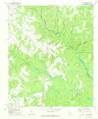
 1964 High Shoals1965 Print · USGSWalton and Oconee counties are separated by the winding Apalachee River in the mid-1960s, showing a landscape of small farms and family cemeteries. Researchers can trace rural landmarks like Good Hope Peters Sch, Snows Mill, and Carlton Cem.2 unique versions available
 - 1971 Map of Rutledge North, 1974 Print
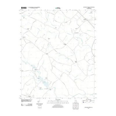
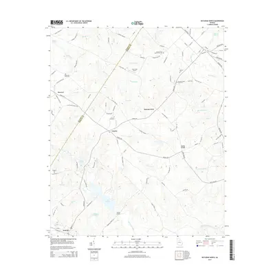
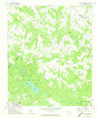 1971 Rutledge North1974 Print · USGSThe rural communities of Morgan and Walton Counties are captured here in the early 1970s, from the streets of Bostwick to the recreation areas at Lake Rutledge. Genealogists and local historians can trace legacy landmarks like Gibbs Memorial Ch, Chestnut Grove Ch, and the crossroads at Fairplay.2 unique versions available
 - 1972 Map of Apalachee, 1974 Print
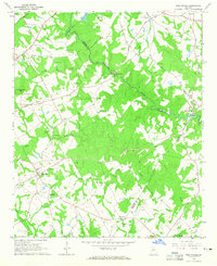
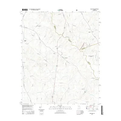
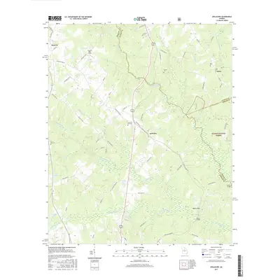
 1972 Apalachee1974 Print · USGSMorgan County and its neighbors are captured here in the early 1970s, showcasing a rural landscape defined by the Apalachee River and small rail-side towns. Genealogists can trace family landmarks like Malloy Chapel, Flat Rock Ch, and the local Cem sites found near Bostwick.2 unique versions available
 - 1980 Map of Athens, 1981 Print
 1980 Athens1981 Print · USGSNorth Georgia in the early eighties exhibits a landscape of growing university towns and deep-rooted rail hubs. Genealogists can trace family lands near Social Circle or Watkinsville while following the routes of the Central of Georgia and the Appalachee River.2 unique versions available
 - 1988 Map of Athens
 1988 Athens1988 Print · USGSThe Georgia Piedmont and South Carolina borderlands appear in the late eighties as a landscape of vast reservoirs and growing towns. Researchers can trace the legacy of the Georgia RR connecting Athens and Augusta, or locate landmarks within Oconee National Forest.
 - 2011 Map of Apalachee, 2011 Print
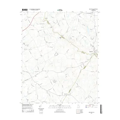
 2011 Apalachee2011 Print · USGSCovers Bostwick, including Apalachee, Salem, and other nearby areas
 - 2011 Map of Rutledge North, 2011 Print
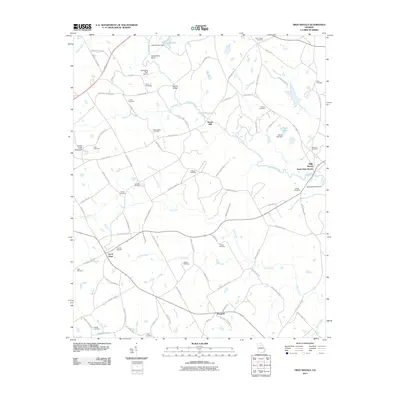
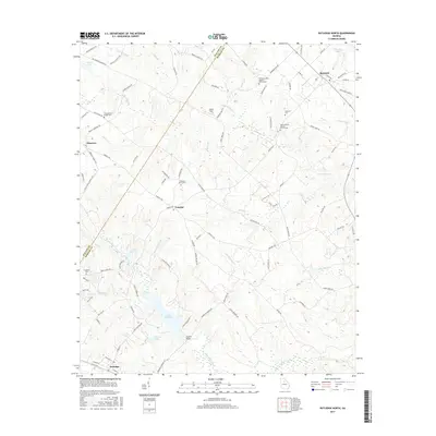
 2011 Rutledge North2011 Print · USGSCovers Bostwick, including Rutledge, Sandy Creek, and other nearby areas
 - 2011 Map of High Shoals, 2011 Print
 2011 High Shoals2011 Print · USGSCovers Bostwick, including North High Shoals, Good Hope, and other nearby areas
 - 2014 Map of Apalachee, 2014 Print
 2014 Apalachee2014 Print · USGSCovers Bostwick, including Apalachee, Salem, and other nearby areas
 - 2014 Map of High Shoals, 2014 Print
 2014 High Shoals2014 Print · USGSCovers Bostwick, including North High Shoals, Good Hope, and other nearby areas
 - 2014 Map of Rutledge North, 2014 Print
 2014 Rutledge North2014 Print · USGSCovers Bostwick, including Rutledge, Sandy Creek, and other nearby areas
 - 2017 Map of Rutledge North, 2017 Print
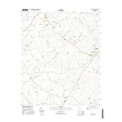
 2017 Rutledge North2017 Print · USGSCovers Bostwick, including Rutledge, Sandy Creek, and other nearby areas
 - 2017 Map of High Shoals, 2017 Print
 2017 High Shoals2017 Print · USGSCovers Bostwick, including North High Shoals, Good Hope, and other nearby areas
 - 2017 Map of Apalachee, 2017 Print
 2017 Apalachee2017 Print · USGSCovers Bostwick, including Apalachee, Salem, and other nearby areas
 - 2020 Map of Apalachee, 2020 Print
 2020 Apalachee2020 Print · USGSCovers Bostwick, including Apalachee, Salem, and other nearby areas
 - 2020 Map of High Shoals, 2020 Print
 2020 High Shoals2020 Print · USGSCovers Bostwick, including North High Shoals, Good Hope, and other nearby areas
 - 2020 Map of Rutledge North, 2020 Print
 2020 Rutledge North2020 Print · USGSCovers Bostwick, including Rutledge, Sandy Creek, and other nearby areas
 - 2024 Map of Rutledge North, 2024 Print
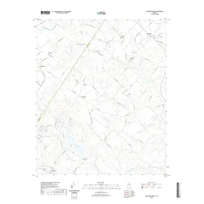
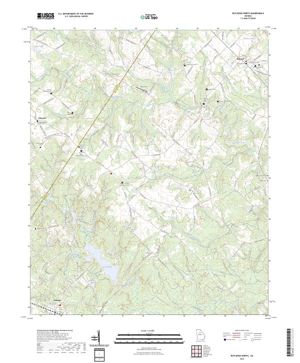 2024 Rutledge North2024 Print · USGSMorgan County is shown here in its modern rural character, defined by small settlements and historic family landholdings. Genealogists can trace ancestral sites like the Almand - Malcolm Cem, Baccus Family Cem, and Ebenezer Baptist Church Cem.
 - 2024 Map of High Shoals, 2024 Print
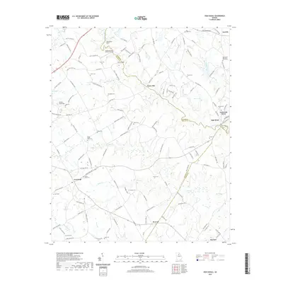
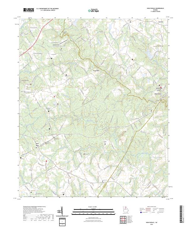 2024 High Shoals2024 Print · USGSWalton and Oconee counties are shown here in the early twenty-first century, centered on the historic river crossing at High Shoals. Researchers can trace generations of families through numerous burial sites like the Carlton Family Cem and landmarks like Snows Mill.
 - 2024 Map of Apalachee, 2024 Print
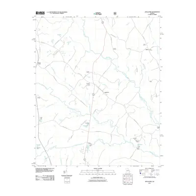
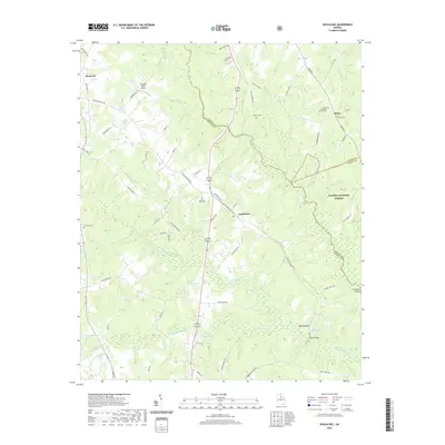
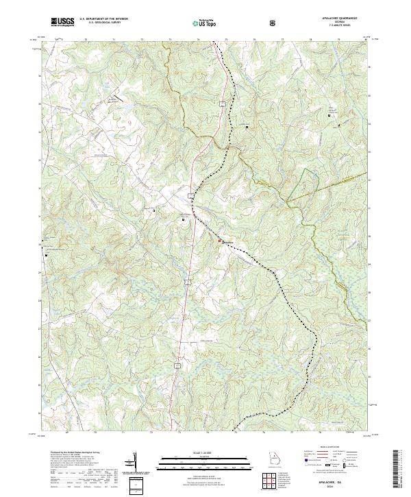 2024 Apalachee2024 Print · USGSMorgan County is shown in this contemporary record as a landscape of river-fed valleys and quiet rural crossroads. Genealogists can trace family heritage at Apalachee and Prior Cem, Mallory Chapel Cem, and Flat Rock Baptist Church Cem.
End of results
Showing maps 1-25 of 25
Top cities near Bostwick
- Athens historical maps
- Winder historical maps
- Monroe historical maps
- Social Circle historical maps
- Madison historical maps
- Watkinsville historical maps
See more
Frequently asked questions
- What are the different types of historical maps available for Bostwick?
- What is the oldest map of Bostwick?
- Where can I purchase historical maps of Bostwick for my home or office?
- Where can I download high-res historical maps of Bostwick?
- Are there historical topographic maps available for Bostwick?
- Is there historical aerial imagery available for Bostwick?
- Where are historical maps of Bostwick sourced from?