Old Maps of Nelson, Georgia
Explore 41 old maps of Nelson, spanning from 1890 to today. These high-resolution historic maps reveal how streets, neighborhoods, landmarks, and natural features evolved over time — perfect for genealogy, metal detecting, research, and local history exploration.
What you can do with these maps:
- See how Nelson changed over time: Compare historical maps to modern-day views to trace roads, homesites, rail lines & more.
- View detailed metadata: Each map includes creators, publishers, year, scale, and archive source.
- Overlay maps with satellite & LiDAR: Visualize the past alongside modern tools to explore terrain & human change.
- Trusted historical sources: Maps sourced from the USGS, Library of Congress, and other archives.
- Access maps your way: View online, download high-res files, or order prints for personal or research use.
Start exploring old maps of Nelson to uncover forgotten places, hidden landmarks, and the deep history beneath your feet.
Nelson, GA maps
(41)- 1890 Map of Suwanee
 1890 Suwanee1890 Print · USGSNorth Georgia in the 1890s was a landscape of river-powered commerce and gold prospecting. Genealogists and historians can trace family-named river crossings like Jones Ferry and Pirkle's Ferry or locate the historic Kin Mori Gold Mine.
 - 1894 Map of Suwanee
 1894 Suwanee1894 Print · USGSNorth Georgia in the late nineteenth century was a landscape of river ferries and rising industry, from marble quarries to gold mines. Genealogists can trace family landmarks like Fields Cross Roads, the Kin Mori Gold Mine, and Fort Buffington.6 unique versions available
 - 1926 Map of Tate, 1968 Print
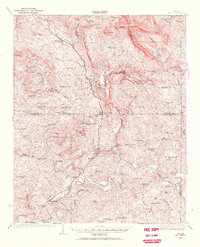 1926 Tate1968 Print · USGSNorthern Georgia's ridge-and-valley corridor is captured here in the mid-twenties, showcasing a landscape of mining and rail commerce. Trace early industrial sites like the Franklin Gold Mine and old crossroads like Ball Ground or Nelson.
 - 1928 Map of Tate
 1928 Tate1928 Print · USGSNorth Georgia’s mineral and mountain heritage comes to life in the late 1920s as the rail line connects the marble and gold districts. Researchers can locate family roots at the Franklin Gold Mine, Old Damascus Church, or Burroughs Crossroads.
 - 1955 Map of Rome
 1955 Rome1955 Print · USGSThe tri-state borderlands of Georgia, Alabama, and Tennessee appear in the mid-fifties as a landscape of ridge-and-valley industry and river navigation. Genealogists can trace family footprints near Chattanooga, the iron works of Gadsden, and textile towns like Trion or Summerville.
 - 1958 Map of Rome, 1966 Print
 1958 Rome1966 Print · USGSNorthwest Georgia and neighboring Tennessee and Alabama are captured here in the late fifties, showcasing a landscape of high ridges and river valleys. Researchers can trace historic rail lines like the Seaboard Air Line RR and explore the bounds of Cloudland Canyon State Park or Fort Oglethorpe.3 unique versions available
 - 1961 Map of Rome
 1961 Rome1961 Print · USGSNorthwest Georgia and neighboring Tennessee and Alabama are shown here at a moment of significant mid-century growth. Researchers can trace the rail networks of the Central of Georgia or locate landmarks within Chickamauga and Chattanooga Nat Military Park.
 - 1963 Map of Rome
 1963 Rome1963 Print · USGSThe tri-state corner of Georgia, Alabama, and Tennessee is captured here during a period of massive reservoir expansion and post-war growth. Genealogists and historians can trace the rail corridors of the Southern Ry or locate landmarks like Fort Oglethorpe and Cloudland Canyon State Park.
 - 1972 Map of Nelson, 1975 Print
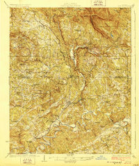
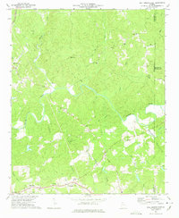
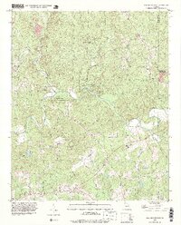
 1972 Nelson1975 Print · USGSNorth Georgia in the early seventies shows a landscape defined by marble extraction and mountain ridges at the meeting of three counties. Researchers can locate the Quarries of Marblehill, the Tate Lookout Tower, and rural landmarks like Long Swamp Ch.2 unique versions available
 - 1973 Map of Ball Ground West, 1975 Print
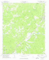 1973 Ball Ground West1975 Print · USGSCherokee County during the mid-seventies shows a landscape of river-valley towns and rural crossroads before the massive suburban expansion of later decades. Genealogists can trace family roots at Old Damascus Ch, Burris Crossroads, and along the Louisville and Nashville rail line.3 unique versions available
 - 1973 Map of Ball Ground East, 1975 Print
 1973 Ball Ground East1975 Print · USGSCherokee County in the early seventies shows a landscape of small Piedmont communities and winding river valleys before the rapid suburban expansion of later decades. Trace old family routes and rural landmarks like Cane Creek Cem, the Ophir community, and Conn Creek Ch.2 unique versions available
 - 1973 Map of Jasper, 1975 Print
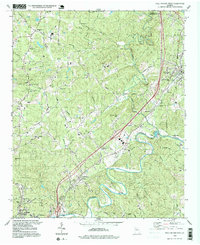
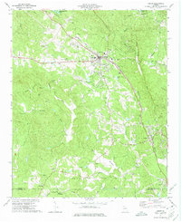 1973 Jasper1975 Print · USGSThe foothills of north Georgia are captured here in the 1970s, showcasing the industrial and spiritual hubs of Pickens County. Genealogists can trace family locations near Salem Ch, Philadelphia Ch, and the Louisville and Nashville rail line.2 unique versions available
 - 1981 Map of Cartersville, 1982 Print
 1981 Cartersville1982 Print · USGSNorth Georgia at the start of the eighties shows a landscape defined by massive reservoirs and historic rail corridors. Researchers can trace the heritage of the Etowah Indian Mounds or locate old junctions along the Southern Railway and Seaboard Coast Line.2 unique versions available
 - 1992 Map of Ball Ground West, 1993 Print
 1992 Ball Ground West1993 Print · USGSCherokee County in the early 1990s reflects a landscape of river-valley settlements and growing infrastructure north of Canton. Genealogists and historians can trace several rural congregations and burial grounds, including Old Damascus Ch, McFarland Cem, and Dowda Cem.
 - 1992 Map of Jasper, 1993 Print
 1992 Jasper1993 Print · USGSThe northern Georgia piedmont around the early 1990s shows a landscape of industrial quarries and growing mountain communities. Genealogists can trace family roots through landmarks like Norton Cem, Philadelphia Ch, and the crossroads at Cagle.
 - 1993 Map of Ball Ground East, 1999 Print
 1993 Ball Ground East1999 Print · USGSCherokee County in the 1990s remained a landscape of deep river valleys and quiet country crossroads. Genealogists and historians can trace family roots through numerous local landmarks like Mica Ch, Ophir, and the cemeteries near Cane Creek Cem.
 - 1997 Map of Ball Ground West, 1999 Print
 1997 Ball Ground West1999 Print · USGSCherokee County in the late 1990s shows a landscape of river meanders and growing infrastructure along the rail corridor. Researchers can find numerous country churches and family burial sites, including Old Damascus Ch, Keithsburg, and Hickory Log Cem.
 - 1997 Map of Nelson, 1999 Print
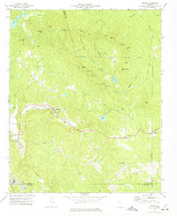
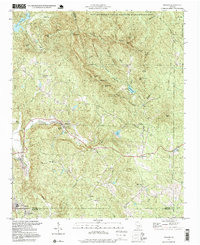 1997 Nelson1999 Print · USGSThe foothills of North Georgia appear in the late nineties, documenting the rural settlements and mountain ridges of the Pickens and Cherokee county lines. Researchers can find old congregations like Yellow Creek Ch and trace the industrial landscape of Marblehill and its nearby Quarry sites.
 - 1997 Map of Jasper, 1999 Print
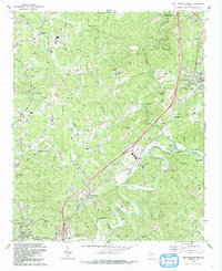
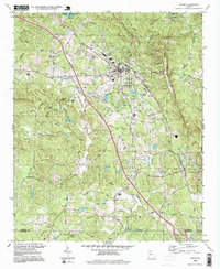 1997 Jasper1999 Print · USGSJasper and the surrounding North Georgia foothills are documented here during the late nineties, showing a landscape of mountain ridges and active rail corridors. Researchers can trace the L & N railroad line through Tate and Nelson or locate local landmarks like Sharp Top Cem and the Quarries.
 - 1999 Map of Ball Ground East, 2003 Print
 1999 Ball Ground East2003 Print · USGSCherokee County at the close of the twentieth century remains a landscape of river valleys and rural crossroads. Genealogists and local researchers can trace family landmarks and community anchors like Liberty Ch, Cane Creek Cem, and the old settlement at Ophir.
 - 2011 Map of Nelson, 2011 Print
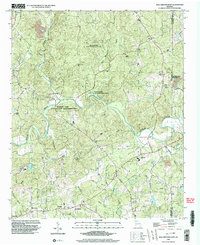
 2011 Nelson2011 Print · USGSCovers Nelson, including Big Canoe, Holcomb, and other nearby areas
 - 2011 Map of Ball Ground East, 2011 Print
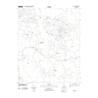
 2011 Ball Ground East2011 Print · USGSCovers Nelson, including Ball Ground, Macedonia, and other nearby areas
 - 2011 Map of Ball Ground West, 2011 Print
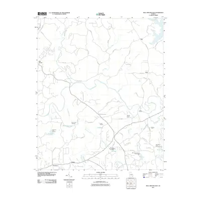
 2011 Ball Ground West2011 Print · USGSCovers Nelson, including Canton, Ball Ground, and other nearby areas
 - 2011 Map of Jasper, 2011 Print
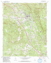
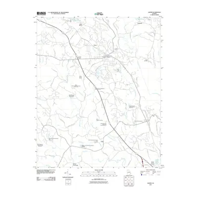 2011 Jasper2011 Print · USGSCovers Nelson, including Jasper, West Brook, and other nearby areas
 - 2014 Map of Nelson, 2014 Print
 2014 Nelson2014 Print · USGSCovers Nelson, including Big Canoe, Holcomb, and other nearby areas
Showing maps 1-25 of 41
Top cities near Nelson
- Milton historical maps
- Canton historical maps
- Holly Springs historical maps
- Cumming historical maps
- Jasper historical maps
- Ball Ground historical maps
See more
Frequently asked questions
- What are the different types of historical maps available for Nelson?
- What is the oldest map of Nelson?
- Where can I purchase historical maps of Nelson for my home or office?
- Where can I download high-res historical maps of Nelson?
- Are there historical topographic maps available for Nelson?
- Is there historical aerial imagery available for Nelson?
- Where are historical maps of Nelson sourced from?