Old Maps of Victoria Station, Oconee County for Genealogy
Trace your family roots with 18 historic maps of Victoria Station. These high-res maps reveal old neighborhoods, homesites, landmarks, and streets — helping you uncover where your ancestors lived and how the area evolved over time.
- Explore historic neighborhoods: Identify where your relatives may have lived in the 1800s or 1900s.
- Compare maps over time: Trace the changes in streets, buildings, and landmarks for multi-generational research.
- Perfect for genealogy & ancestry research: Used by family historians and researchers to map out lineage and migration.
These maps are an incredible resource for exploring your personal connection to Victoria Station's past.
Victoria Station, Oconee County maps
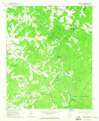
(18)- 1953 Map of Athens, 1966 Print
 1953 Athens1966 Print · USGSGeorgia's Piedmont and Savannah River borderlands come alive in this mid-century survey of the region surrounding Athens and Augusta. Trace the rail-and-river economy through the Georgia RR and landmarks like the Fort Gordon Military Reservation.3 unique versions available
 - 1958 Map of Athens
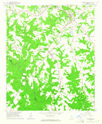
 1958 Athens1958 Print · USGSNorth-central Georgia and the Savannah River valley are captured in the late fifties, showing the region as the new reservoirs were filling. Researchers can trace historic rail lines like the Georgia RR and locate rural landmarks such as Social Circle, Graves Mountain, and the Fort Gordon Military Reservation.
 - 1959 Map of Athens
 1959 Athens1959 Print · USGSNortheast Georgia and the South Carolina borderlands appear here in the mid-fifties, during a decade of infrastructure growth. Genealogists and historians can trace the rail-and-river geography of towns like Social Circle, the sprawl of Fort Gordon Military Reservation, and the newly formed Clark Hill Reservoir.
 - 1963 Map of Athens
 1963 Athens1963 Print · USGSGeorgia's Piedmont and the Savannah River valley are captured in the early sixties as major reservoirs and military installations reshaped the landscape. Researchers can trace the development of Clark Hill Reservoir, locate the Fort Gordon Military Reservation, and find historic towns like Social Circle and Eatonton.
 - 1964 Map of Barnett Shoals, 1965 Print
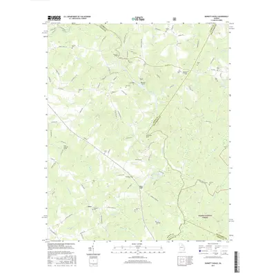
 1964 Barnett Shoals1965 Print · USGSThe Oconee River winds through the borders of four Georgia counties in the mid-1960s, anchored by the Barnett Shoals Dam and its local powerplant. Genealogists can trace family names at the Puryear Cem, Antioch Ch, and the rural community of Rose Hill.2 unique versions available
 - 1964 Map of Watkinsville, 1965 Print
 1964 Watkinsville1965 Print · USGSCentral Georgia in the mid-1960s was defined by the rail corridor connecting Watkinsville to Farmington. Researchers can trace old family burial grounds like Klotts Cem and rural meeting places such as Brown Chapel or the Stroud Sch.3 unique versions available
 - 1980 Map of Athens, 1981 Print
 1980 Athens1981 Print · USGSNorth Georgia in the early eighties exhibits a landscape of growing university towns and deep-rooted rail hubs. Genealogists can trace family lands near Social Circle or Watkinsville while following the routes of the Central of Georgia and the Appalachee River.2 unique versions available
 - 1988 Map of Athens
 1988 Athens1988 Print · USGSThe Georgia Piedmont and South Carolina borderlands appear in the late eighties as a landscape of vast reservoirs and growing towns. Researchers can trace the legacy of the Georgia RR connecting Athens and Augusta, or locate landmarks within Oconee National Forest.
 - 2011 Map of Watkinsville, 2011 Print
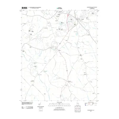 2011 Watkinsville2011 Print · USGSCovers Victoria Station, including Watkinsville, North High Shoals, and other nearby areas
 - 2011 Map of Barnett Shoals, 2011 Print
 2011 Barnett Shoals2011 Print · USGSCovers Victoria Station, including Athens, Pioneer Woods, and other nearby areas
 - 2014 Map of Barnett Shoals, 2014 Print
 2014 Barnett Shoals2014 Print · USGSCovers Victoria Station, including Athens, Pioneer Woods, and other nearby areas
 - 2014 Map of Watkinsville, 2014 Print
 2014 Watkinsville2014 Print · USGSCovers Victoria Station, including Watkinsville, North High Shoals, and other nearby areas
 - 2017 Map of Watkinsville, 2017 Print
 2017 Watkinsville2017 Print · USGSCovers Victoria Station, including Watkinsville, North High Shoals, and other nearby areas
 - 2017 Map of Barnett Shoals, 2017 Print
 2017 Barnett Shoals2017 Print · USGSCovers Victoria Station, including Athens, Pioneer Woods, and other nearby areas
 - 2020 Map of Watkinsville, 2020 Print
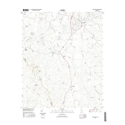
 2020 Watkinsville2020 Print · USGSCovers Victoria Station, including Watkinsville, North High Shoals, and other nearby areas
 - 2020 Map of Barnett Shoals, 2020 Print
 2020 Barnett Shoals2020 Print · USGSCovers Victoria Station, including Athens, Pioneer Woods, and other nearby areas
 - 2024 Map of Watkinsville, 2024 Print
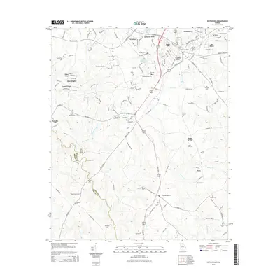
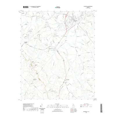
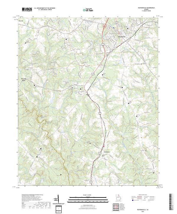 2024 Watkinsville2024 Print · USGSWatkinsville and the surrounding Oconee County countryside are mapped here in the early twenty-first century. Genealogists can locate numerous family cemeteries and local landmarks including Brown Chapel, the Oconee County Courthouse, and the Rehoboth Cem.
 - 2024 Map of Barnett Shoals, 2024 Print
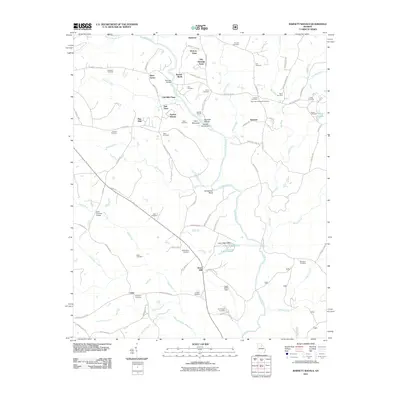
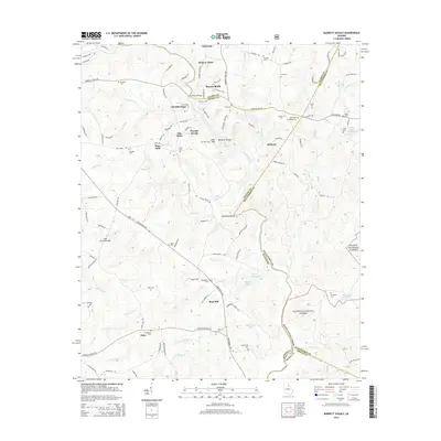
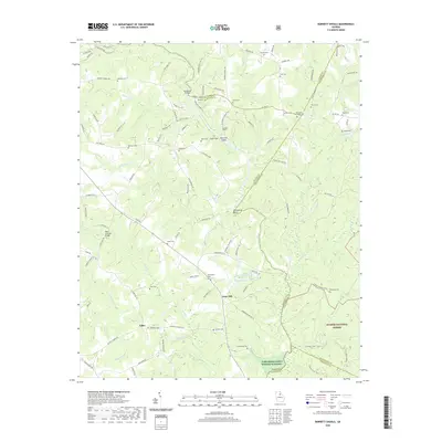
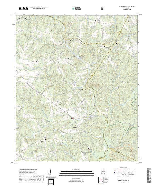 2024 Barnett Shoals2024 Print · USGSOconee and Oglethorpe Counties at the edge of the Piedmont show a landscape deeply shaped by the Oconee River and early settlement patterns. Genealogists can trace family locations through numerous sites like Willoughby Cem, Fambrough Cem, and the river crossing at Barnetts Shoals.
End of results
Showing maps 1-18 of 18
Frequently asked questions
- What are the different types of historical maps available for Victoria Station?
- What is the oldest map of Victoria Station?
- Where can I purchase historical maps of Victoria Station for my home or office?
- Where can I download high-res historical maps of Victoria Station?
- Are there historical topographic maps available for Victoria Station?
- Is there historical aerial imagery available for Victoria Station?
- Where are historical maps of Victoria Station sourced from?