Old Maps of Victoria Station, Georgia for Hiking & Exploration
Hike through history with 18 historic maps of Victoria Station. Explore old trails, ghost towns, and forgotten backroads — perfect for outdoor adventurers and local explorers.
- Rediscover forgotten places: Map out old mining camps, roads, and footpaths that no longer exist on modern maps.
- Layer with modern tools: Combine with LiDAR or satellite views to plan hikes through historical terrain.
- Made for exploration: Popular among hikers, overlanders, and local history lovers.
Use these maps to find adventure and explore the hidden past of Victoria Station.
Victoria Station, GA maps
(18)- 1953 Map of Athens, 1966 Print
 1953 Athens1966 Print · USGSGeorgia's Piedmont and Savannah River borderlands come alive in this mid-century survey of the region surrounding Athens and Augusta. Trace the rail-and-river economy through the Georgia RR and landmarks like the Fort Gordon Military Reservation.3 unique versions available
 - 1958 Map of Athens
 1958 Athens1958 Print · USGSNorth-central Georgia and the Savannah River valley are captured in the late fifties, showing the region as the new reservoirs were filling. Researchers can trace historic rail lines like the Georgia RR and locate rural landmarks such as Social Circle, Graves Mountain, and the Fort Gordon Military Reservation.
 - 1959 Map of Athens
 1959 Athens1959 Print · USGSNortheast Georgia and the South Carolina borderlands appear here in the mid-fifties, during a decade of infrastructure growth. Genealogists and historians can trace the rail-and-river geography of towns like Social Circle, the sprawl of Fort Gordon Military Reservation, and the newly formed Clark Hill Reservoir.
 - 1963 Map of Athens
 1963 Athens1963 Print · USGSGeorgia's Piedmont and the Savannah River valley are captured in the early sixties as major reservoirs and military installations reshaped the landscape. Researchers can trace the development of Clark Hill Reservoir, locate the Fort Gordon Military Reservation, and find historic towns like Social Circle and Eatonton.
 - 1964 Map of Barnett Shoals, 1965 Print
 1964 Barnett Shoals1965 Print · USGSThe Oconee River winds through the borders of four Georgia counties in the mid-1960s, anchored by the Barnett Shoals Dam and its local powerplant. Genealogists can trace family names at the Puryear Cem, Antioch Ch, and the rural community of Rose Hill.2 unique versions available
 - 1964 Map of Watkinsville, 1965 Print
 1964 Watkinsville1965 Print · USGSCentral Georgia in the mid-1960s was defined by the rail corridor connecting Watkinsville to Farmington. Researchers can trace old family burial grounds like Klotts Cem and rural meeting places such as Brown Chapel or the Stroud Sch.3 unique versions available
 - 1980 Map of Athens, 1981 Print
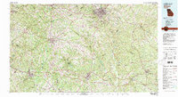 1980 Athens1981 Print · USGSNorth Georgia in the early eighties exhibits a landscape of growing university towns and deep-rooted rail hubs. Genealogists can trace family lands near Social Circle or Watkinsville while following the routes of the Central of Georgia and the Appalachee River.2 unique versions available
 - 1988 Map of Athens
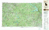 1988 Athens1988 Print · USGSThe Georgia Piedmont and South Carolina borderlands appear in the late eighties as a landscape of vast reservoirs and growing towns. Researchers can trace the legacy of the Georgia RR connecting Athens and Augusta, or locate landmarks within Oconee National Forest.
 - 2011 Map of Watkinsville, 2011 Print
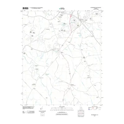 2011 Watkinsville2011 Print · USGSWatkinsville and its surrounding Oconee County countryside are documented here during a period of steady residential growth. Researchers can trace family history through a high density of rural burial sites like Mount Zion Cemetery and Wagnon Cemetery, or locate old civic hubs like the Farmington Post Office.
 - 2011 Map of Barnett Shoals, 2011 Print
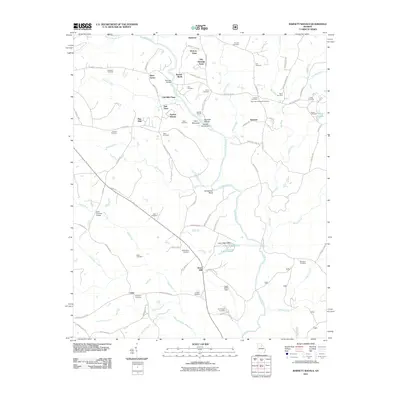 2011 Barnett Shoals2011 Print · USGSThe Oconee River valley comes into focus during the early twenty-first century, showing a landscape defined by historic river crossings and family lands. Researchers can locate the Elder Covered Bridge, the Barnetts Shoals Dam, and numerous burial sites like Corinth Cemetery.
 - 2014 Map of Barnett Shoals, 2014 Print
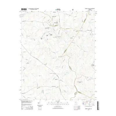 2014 Barnett Shoals2014 Print · USGSThe Oconee River valley and the Oconee National Forest are documented here in the early twenty-first century. Genealogists and historians can trace family sites like the Elder Covered Bridge, Hardigree Elder Cemetery, and the settlement of Barnetts Shoals.
 - 2014 Map of Watkinsville, 2014 Print
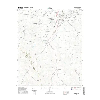 2014 Watkinsville2014 Print · USGSWatkinsville and the surrounding Oconee County landscape are shown here in the early twenty-first century, balancing suburban expansion with deep-rooted rural history. Researchers can locate numerous family-named burial sites like Wagnon Cem and historic landmarks such as Price Mill Bridge or Gun Point Bend.
 - 2017 Map of Watkinsville, 2017 Print
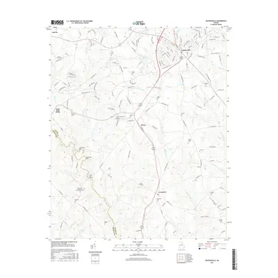 2017 Watkinsville2017 Print · USGSOconee County settlements and rural cemeteries are documented in this recent survey of the Georgia piedmont. Researchers can trace family sites from Watkinsville down to Farmington, including landmarks like Price Mill Bridge and Mount Perry Baptist Church Cem.
 - 2017 Map of Barnett Shoals, 2017 Print
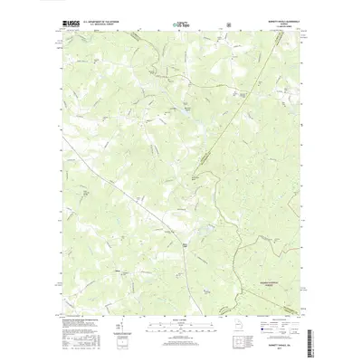 2017 Barnett Shoals2017 Print · USGSThe Oconee River corridor south of Athens was a landscape of small settlements and river crossings in the early twenty-first century. Researchers can trace family history through numerous rural burial sites like the Big Creek Hardshell Cem and visit the Elder Covered Bridge.
 - 2020 Map of Watkinsville, 2020 Print
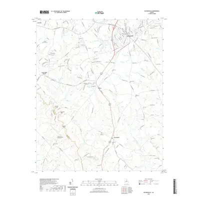 2020 Watkinsville2020 Print · USGSWatkinsville and its surrounding Piedmont landscape are documented here at the start of the 2020s. Researchers can locate numerous family burial sites and rural landmarks, including the Oconee County Courthouse, Fullilove - Jackson Cem, and Mount Zion Cem.
 - 2020 Map of Barnett Shoals, 2020 Print
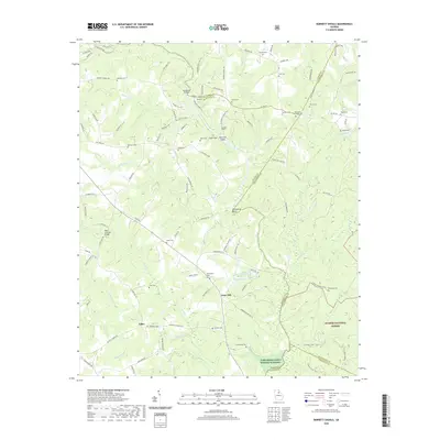 2020 Barnett Shoals2020 Print · USGSThe rural river country south of Athens comes alive in this survey of the Oconee River valley. Genealogists and historians can trace numerous family burial grounds like Big Creek Hardshell Cemetery and historic landmarks such as the Elder Covered Bridge.
 - 2024 Map of Watkinsville, 2024 Print
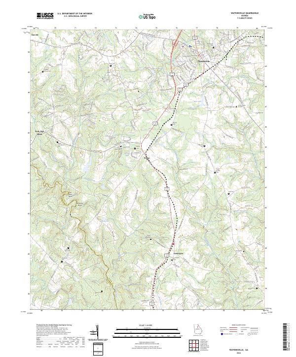 2024 Watkinsville2024 Print · USGSWatkinsville and the surrounding Oconee County countryside are mapped here in the early twenty-first century. Genealogists can locate numerous family cemeteries and local landmarks including Brown Chapel, the Oconee County Courthouse, and the Rehoboth Cem.
 - 2024 Map of Barnett Shoals, 2024 Print
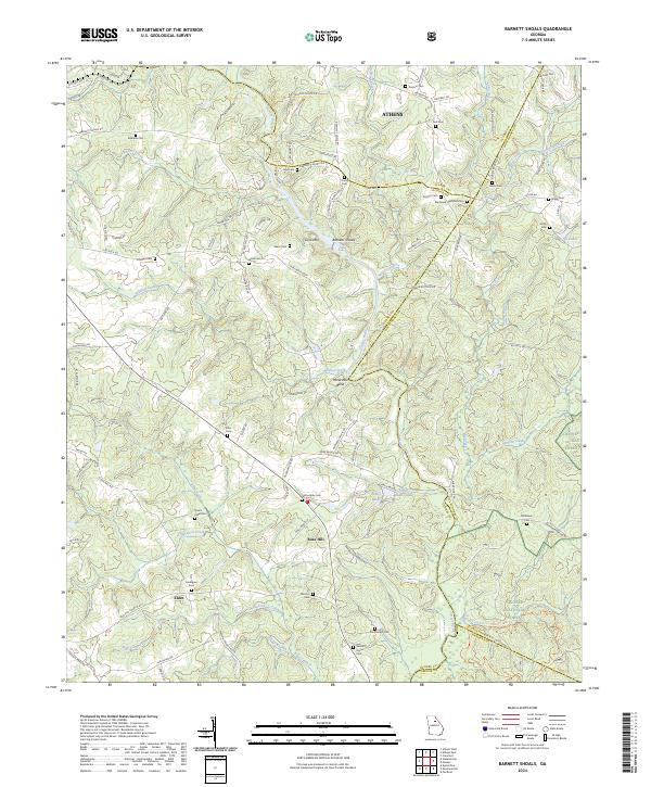 2024 Barnett Shoals2024 Print · USGSOconee and Oglethorpe Counties at the edge of the Piedmont show a landscape deeply shaped by the Oconee River and early settlement patterns. Genealogists can trace family locations through numerous sites like Willoughby Cem, Fambrough Cem, and the river crossing at Barnetts Shoals.
End of results
Showing maps 1-18 of 18
Frequently asked questions
- What are the different types of historical maps available for Victoria Station?
- What is the oldest map of Victoria Station?
- Where can I purchase historical maps of Victoria Station for my home or office?
- Where can I download high-res historical maps of Victoria Station?
- Are there historical topographic maps available for Victoria Station?
- Is there historical aerial imagery available for Victoria Station?
- Where are historical maps of Victoria Station sourced from?