Old Maps of Arnoldsville, Georgia
Explore 12 old maps of Arnoldsville, spanning from 1953 to today. These high-resolution historic maps reveal how streets, neighborhoods, landmarks, and natural features evolved over time — perfect for genealogy, metal detecting, research, and local history exploration.
What you can do with these maps:
- See how Arnoldsville changed over time: Compare historical maps to modern-day views to trace roads, homesites, rail lines & more.
- View detailed metadata: Each map includes creators, publishers, year, scale, and archive source.
- Overlay maps with satellite & LiDAR: Visualize the past alongside modern tools to explore terrain & human change.
- Trusted historical sources: Maps sourced from the USGS, Library of Congress, and other archives.
- Access maps your way: View online, download high-res files, or order prints for personal or research use.
Start exploring old maps of Arnoldsville to uncover forgotten places, hidden landmarks, and the deep history beneath your feet.
Arnoldsville, GA maps
(12)- 1953 Map of Athens, 1966 Print
 1953 Athens1966 Print · USGSGeorgia's Piedmont and Savannah River borderlands come alive in this mid-century survey of the region surrounding Athens and Augusta. Trace the rail-and-river economy through the Georgia RR and landmarks like the Fort Gordon Military Reservation.3 unique versions available
 - 1958 Map of Athens
 1958 Athens1958 Print · USGSNorth-central Georgia and the Savannah River valley are captured in the late fifties, showing the region as the new reservoirs were filling. Researchers can trace historic rail lines like the Georgia RR and locate rural landmarks such as Social Circle, Graves Mountain, and the Fort Gordon Military Reservation.
 - 1959 Map of Athens
 1959 Athens1959 Print · USGSNortheast Georgia and the South Carolina borderlands appear here in the mid-fifties, during a decade of infrastructure growth. Genealogists and historians can trace the rail-and-river geography of towns like Social Circle, the sprawl of Fort Gordon Military Reservation, and the newly formed Clark Hill Reservoir.
 - 1963 Map of Athens
 1963 Athens1963 Print · USGSGeorgia's Piedmont and the Savannah River valley are captured in the early sixties as major reservoirs and military installations reshaped the landscape. Researchers can trace the development of Clark Hill Reservoir, locate the Fort Gordon Military Reservation, and find historic towns like Social Circle and Eatonton.
 - 1971 Map of Crawford, 1973 Print
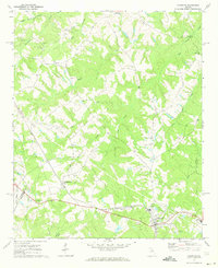 1971 Crawford1973 Print · USGSOglethorpe County in the early seventies shows a landscape of established rail towns and rural congregations. Genealogists can trace family lines through Clouds Creek Cem or locate community centers like Arnoldsville and the County High Sch.2 unique versions available
 - 1980 Map of Athens, 1981 Print
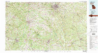 1980 Athens1981 Print · USGSNorth Georgia in the early eighties exhibits a landscape of growing university towns and deep-rooted rail hubs. Genealogists can trace family lands near Social Circle or Watkinsville while following the routes of the Central of Georgia and the Appalachee River.2 unique versions available
 - 1988 Map of Athens
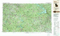 1988 Athens1988 Print · USGSThe Georgia Piedmont and South Carolina borderlands appear in the late eighties as a landscape of vast reservoirs and growing towns. Researchers can trace the legacy of the Georgia RR connecting Athens and Augusta, or locate landmarks within Oconee National Forest.
 - 2011 Map of Crawford, 2011 Print
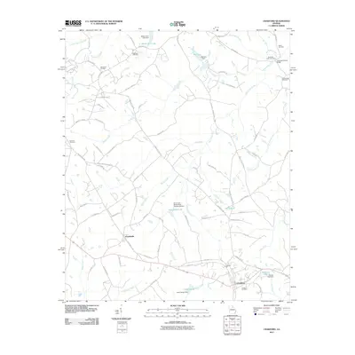 2011 Crawford2011 Print · USGSCrawford and Arnoldsville are captured here in the early twenty-first century, showing a landscape defined by ancestral cemeteries and water management. Researchers can trace local history through sites like Howards Covered Bridge, Jefferson Mill, and the Randolph Tucker Cemetery.
 - 2014 Map of Crawford, 2014 Print
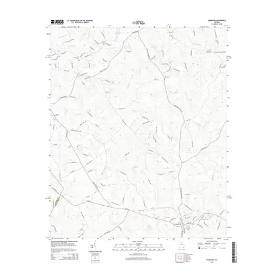 2014 Crawford2014 Print · USGSOglethorpe County near the Clarke County line shows its deep agricultural roots in the mid-2010s. Researchers can locate family heritage sites like Mathews Cem, the landmark Howards Covered Bridge, and the established streets of Crawford.
 - 2017 Map of Crawford, 2017 Print
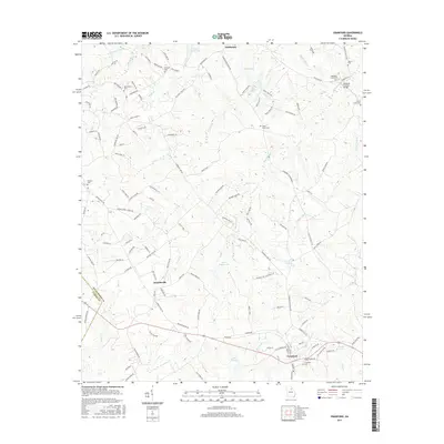 2017 Crawford2017 Print · USGSOglethorpe County and the fringes of Clarke County are shown here in the late twenty-tens, characterized by quiet rural crossroads and historic family sites. Genealogists can locate numerous ancestral burial grounds like Mathews Cem or visit the Howards Covered Bridge.
 - 2020 Map of Crawford, 2020 Print
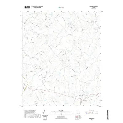 2020 Crawford2020 Print · USGSOglethorpe County at the start of the 2020s shows a landscape defined by historic settlements and winding creeks. Genealogists and historians can locate Howards Covered Bridge, Crawford Cem, and the community of Smithonia among the rolling hills.
 - 2024 Map of Crawford, 2024 Print
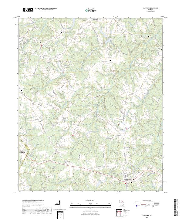 2024 Crawford2024 Print · USGSIn the heart of Oglethorpe County, this modern survey shows the enduring settlement patterns around Crawford and Arnoldsville. Genealogists can trace local history through numerous family-named landmarks like Mathews Cem, Coile Grove Cem, and Dawson Cem.
End of results
Showing maps 1-12 of 12
Top cities near Arnoldsville
- Athens historical maps
- Watkinsville historical maps
- Nicholson historical maps
- Winterville historical maps
- Comer historical maps
- Crawford historical maps
See more
Frequently asked questions
- What are the different types of historical maps available for Arnoldsville?
- What is the oldest map of Arnoldsville?
- Where can I purchase historical maps of Arnoldsville for my home or office?
- Where can I download high-res historical maps of Arnoldsville?
- Are there historical topographic maps available for Arnoldsville?
- Is there historical aerial imagery available for Arnoldsville?
- Where are historical maps of Arnoldsville sourced from?