2020s Maps of Peach County, Georgia
Explore 16 historic maps of Peach County from the 2020s. These maps offer a rare glimpse into what life looked like during the 2020s — showing old roads, neighborhoods, homes, and landmarks that have changed or disappeared over time.
Whether you're researching your family's past, planning a metal detecting trip, or studying how Peach County's landscape evolved across the 2020s, these high-resolution maps are a powerful tool for exploring the history of this region.
- Focus on a specific era: All maps on this page are from the 2020s, giving you a focused view of this time period.
- See what’s changed: Compare century-old streets, trails, and buildings to today's modern landscape using overlays and satellite layers.
- Research with precision: Use these maps for genealogy, historical research, land use analysis, or educational projects.
- View, download, or print: Maps are fully viewable online in high resolution, and can be downloaded or printed for your own records.
Start exploring Peach County's history through authentic maps from the 2020s. This is your window into the past.
Peach County, GA maps
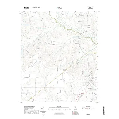
(16)- 2020 Map of Fort Valley East, 2020 Print
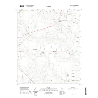 2020 Fort Valley East2020 Print · USGSCovers Peach County, including Perry, Fort Valley, and other nearby areas
 - 2020 Map of Warner Robins NW, 2020 Print
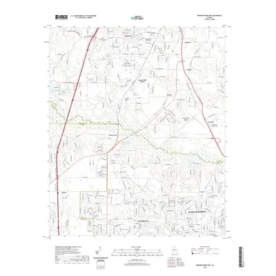 2020 Warner Robins NW2020 Print · USGSCovers Peach County, including Macon, Warner Robins, and other nearby areas
 - 2020 Map of Warner Robins SW, 2020 Print
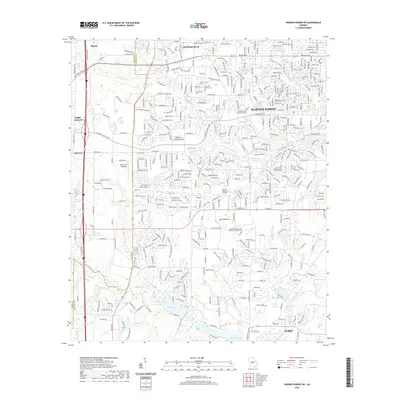 2020 Warner Robins SW2020 Print · USGSCovers Peach County, including Warner Robins, Perry, and other nearby areas
 - 2020 Map of Marshallville, 2020 Print
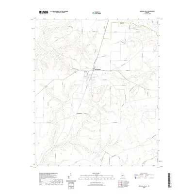 2020 Marshallville2020 Print · USGSCovers Peach County, including Marshallville, Winchester, and other nearby areas
 - 2020 Map of Byron, 2020 Print
 2020 Byron2020 Print · USGSCovers Peach County, including Macon, Byron, and other nearby areas
 - 2020 Map of Perry West, 2020 Print
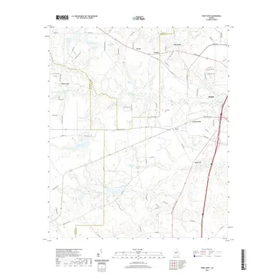 2020 Perry West2020 Print · USGSCovers Peach County, including Perry, Myrtle, and other nearby areas
 - 2020 Map of Fort Valley West, 2020 Print
 2020 Fort Valley West2020 Print · USGSCovers Peach County, including Fort Valley, Lee Pope, and other nearby areas
 - 2020 Map of Reynolds, 2020 Print
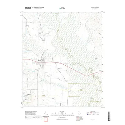 2020 Reynolds2020 Print · USGSCovers Peach County, including Reynolds, Beechwood, and other nearby areas
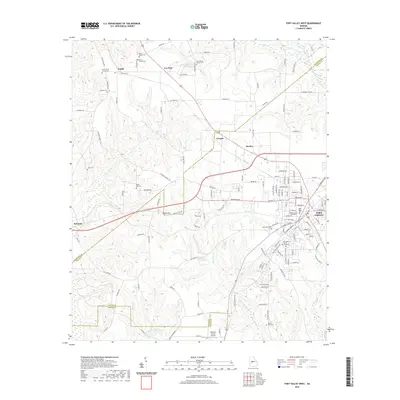
 - 2024 Map of Fort Valley East, 2024 Print
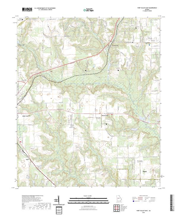 2024 Fort Valley East2024 Print · USGSThe corridor between Fort Valley and Byron comes alive in this current-era survey of central Georgia. Genealogists and researchers can trace local family history through Bethel AME Church and several small cemeteries like Lisenby Cem and Miami Cem.
 - 2024 Map of Perry West, 2024 Print
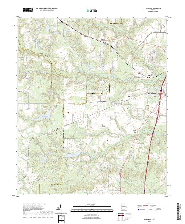 2024 Perry West2024 Print · USGSHouston and Peach County lands are shown here in the 2020s, revealing a landscape of historic settlements and rural lakes west of the city. Genealogists and local historians can trace the areas around Myrtle, Saint Louis, and the waters of Louis Newberry Lake.
 - 2024 Map of Fort Valley West, 2024 Print
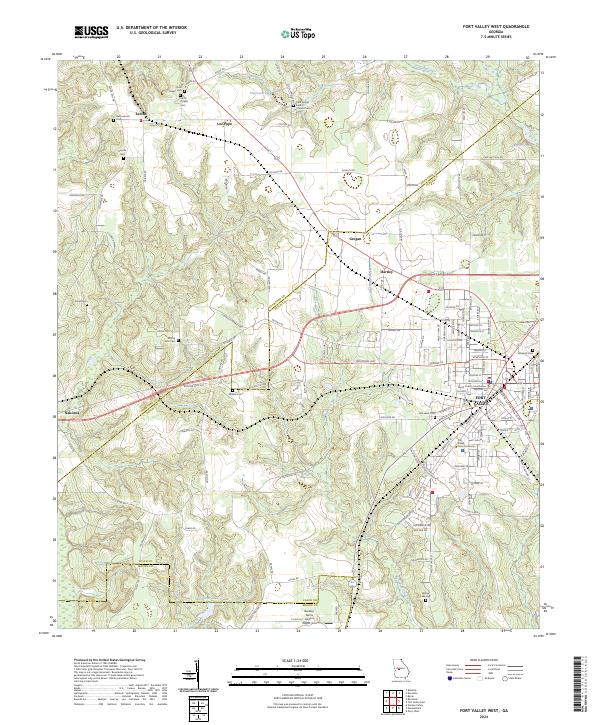 2024 Fort Valley West2024 Print · USGSFort Valley and the rural reaches of Peach and Crawford Counties are documented here in the early twenty-first century. Researchers can locate numerous family and church burial grounds like Harris Chapel Cem and Jones Cem, or trace the grounds of Fort Valley State University.
 - 2024 Map of Warner Robins NW, 2024 Print
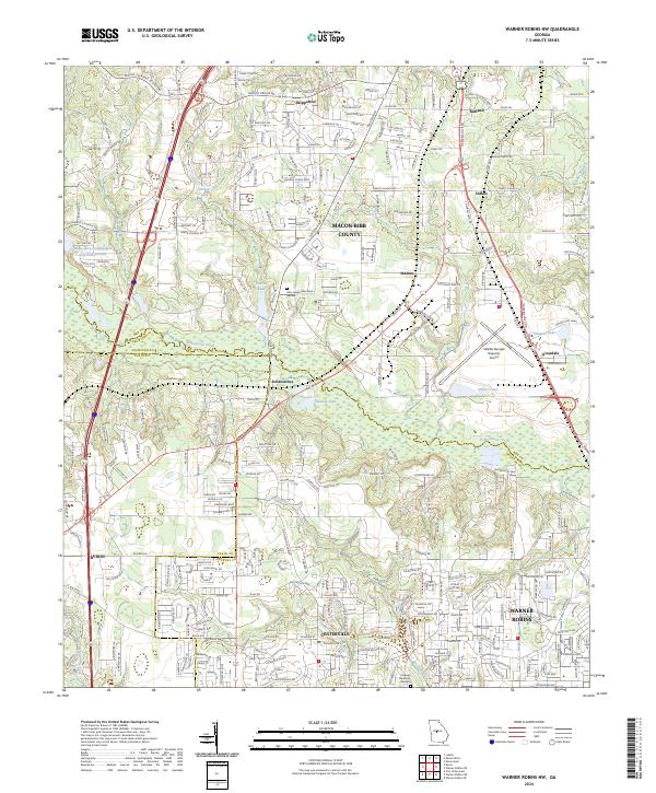 2024 Warner Robins NW2024 Print · USGSNorthwest of Warner Robins, this modern landscape shows the rapid growth and logistical importance of the Bibb and Houston county borders. Genealogists and locals can trace the evolution of Skipperton, Walden, and Avondale alongside Echeconnee Creek.
 - 2024 Map of Warner Robins SW, 2024 Print
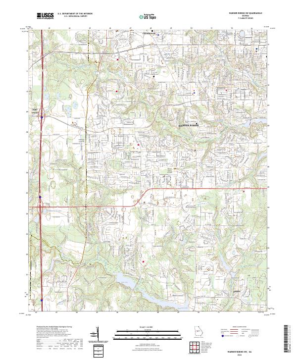 2024 Warner Robins SW2024 Print · USGSHouston County, Georgia, is captured in this contemporary survey as a bustling hub of civic and educational life. Researchers can trace local heritage at the Leverett Family Cem or locate regional landmarks like the Houston County State Courthouse and Lake Joy.
 - 2024 Map of Marshallville, 2024 Print
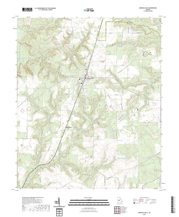 2024 Marshallville2024 Print · USGSMarshallville and the Macon-Peach county line appear in high detail during the twenty-first century. Genealogists can locate family-named sites like the Rice Family Cemetery and historic anchors like Friendship Baptist Cemetery.
 - 2024 Map of Byron, 2024 Print
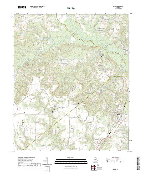 2024 Byron2024 Print · USGSMiddle Georgia’s county boundaries and family heritage come into focus in this recent survey of the area where Peach, Bibb, and Crawford counties meet. Genealogists can trace several family burial sites like Waldron Cem and landmarks such as the Jordan Chapel United Methodist Church.
 - 2024 Map of Reynolds, 2024 Print
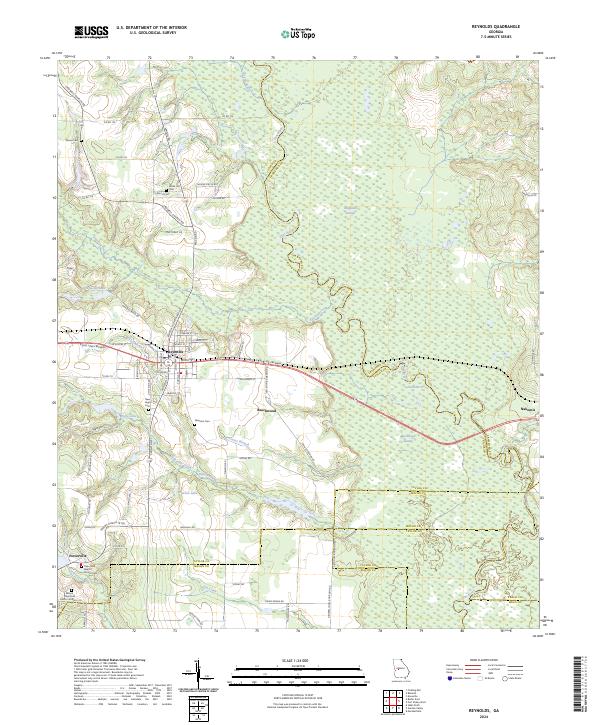 2024 Reynolds2024 Print · USGSTaylor County and its neighboring borders are documented here in the early twenty-first century, showcasing the region's river-driven geography. Genealogists can trace family roots through numerous local landmarks like Taylor Mill Baptist Church Cem, Potterville, and the White Hill Cem.
End of results
Showing maps 1-16 of 16
Top cities of Peach County
Frequently asked questions
- What are the different types of historical maps available for Peach County?
- What is the oldest map of Peach County?
- Where can I purchase historical maps of Peach County for my home or office?
- Where can I download high-res historical maps of Peach County?
- Are there historical topographic maps available for Peach County?
- Is there historical aerial imagery available for Peach County?
- Where are historical maps of Peach County sourced from?