Old Maps of Peach County, Georgia for Hiking & Exploration
Hike through history with 61 historic maps of Peach County. Explore old trails, ghost towns, and forgotten backroads — perfect for outdoor adventurers and local explorers.
- Rediscover forgotten places: Map out old mining camps, roads, and footpaths that no longer exist on modern maps.
- Layer with modern tools: Combine with LiDAR or satellite views to plan hikes through historical terrain.
- Made for exploration: Popular among hikers, overlanders, and local history lovers.
Use these maps to find adventure and explore the hidden past of Peach County.
Peach County, GA maps
(61)- 1955 Map of Phenix City, 1964 Print
 1955 Phenix City1964 Print · USGSPost-war Alabama and Georgia meet along the Chattahoochee River as industry and military installations expand. Trace the rail lines of the Central of Georgia through towns like Opelika, Tuskegee, and Alexander City.3 unique versions available
 - 1956 Map of Fort Valley, 1957 Print
 1956 Fort Valley1957 Print · USGSGeorgia's fruit-growing heartland comes alive in the mid-1950s as a major rail crossroads. Genealogists can trace family landmarks like Taylors Mill, Old Bethel Cem, and numerous country churches from Lizzie Chapel to Macedonia Ch.2 unique versions available
 - 1956 Map of Warner Robins, 1957 Print
 1956 Warner Robins1957 Print · USGSWarner Robins and the Ocmulgee River valley are captured in the mid-fifties during a period of significant military and urban expansion. Researchers can trace the development of Robins Air Force Base and find local landmarks like Feagin Mill or Tharpe Memorial Ch.2 unique versions available
 - 1957 Map of Phenix City
 1957 Phenix City1957 Print · USGSThe Alabama-Georgia borderlands are captured here in the mid-fifties, centered on the bustling river crossing at Phenix City and Columbus. Researchers can trace the mid-century footprint of the Fort Benning Military Reservation or locate smaller textile and railroad towns like Langdale and Camp Hill.
 - 1957 Map of Macon
 1957 Macon1957 Print · USGSMid-century Georgia comes into focus as the river-and-rail economy shifts toward a new era of aviation and highway travel. Trace family roots and vanished landmarks across the Ocmulgee River valley from Macon to the onion fields of Vidalia.
 - 1958 Map of Macon
 1958 Macon1958 Print · USGSMiddle Georgia during the late fifties shows the post-war expansion of Warner Robins alongside the deep-rooted rail hubs of the Central of Georgia line. Researchers can trace the river-bound boundaries of numerous counties and find local landmarks like Veterans Memorial Hospital and Robins AFB.
 - 1958 Map of Phenix City
 1958 Phenix City1958 Print · USGSThe Alabama-Georgia borderlands thrive during the late fifties, anchored by the river-driven industry of Columbus and Phenix City. Researchers can trace the mid-century footprints of Fort Benning, Auburn, and the textile towns of Fairfax and Lanett.
 - 1964 Map of Macon
 1964 Macon1964 Print · USGSCentral Georgia in the mid-sixties is defined by its major river valleys and a booming military presence. Genealogists and historians can trace the growth of Warner Robins near Robins AFB or locate smaller rural junctions like Allentown and Jeffersonville along the historic Southern railroad lines.2 unique versions available
 - 1971 Map of Reynolds, 1973 Print
 1971 Reynolds1973 Print · USGSTaylor County settlement centers on the railroad crossroads of the early seventies, where the river lowlands meet upland farms. Researchers can trace family history at Potterville, locate the White Hill Cem, or explore the reaches of Magnolia Swamp.2 unique versions available
 - 1972 Map of Marshallville, 1974 Print
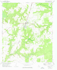 1972 Marshallville1974 Print · USGSMacon and Peach Counties come into focus in the early seventies, centered on the railroad town of Marshallville. Researchers can trace rural community life through landmarks like the Richardson Sch, Glorious Hope Cem, and the Indian Burial Mound.2 unique versions available
 - 1972 Map of Perry West, 1975 Print
 1972 Perry West1975 Print · USGSHouston and Peach counties are documented here in the early 1970s as agricultural land began to meet the growing outskirts of PERRY. Genealogists can locate family landmarks like Richland Ch Cem, Hoses Cem, and several rural churches including Browns Chapel.2 unique versions available
 - 1973 Map of Fort Valley West, 1976 Print
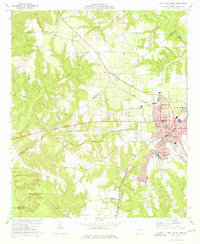 1973 Fort Valley West1976 Print · USGSFort Valley and its surrounding rural communities are captured here in the early seventies during a period of steady regional development. Genealogists and historians can trace numerous local landmarks including Ross Chapel Cem, Lee Pope, and the campus of Fort Valley State College.2 unique versions available
 - 1973 Map of Warner Robins SW, 1977 Print
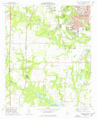 1973 Warner Robins SW1977 Print · USGSWarner Robins and Centerville were undergoing rapid growth in the 1970s as suburban subdivisions reached toward the Peach County line. Genealogists and historians can locate family landmarks like Leverett Cem, Andrew Chapel, and the Warner Robins Drag Way.3 unique versions available
 - 1973 Map of Warner Robins NW, 1977 Print
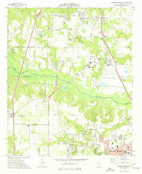 1973 Warner Robins NW1977 Print · USGSMid-century central Georgia comes alive in this survey of the railroad and racing corridor between Macon and Warner Robins. Genealogists and local historians can trace family-named sites like Skipperton and Walden or locate historic congregations such as New Elim Ch and Oak Grove Ch.3 unique versions available
 - 1974 Map of Fort Valley East, 1976 Print
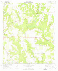 1974 Fort Valley East1976 Print · USGSCentral Georgia's peach-growing country is captured here in the mid-seventies, showing the rural landscapes between Fort Valley and Powersville. Genealogists can trace family landmarks and rural life through Lisenby Cemetery, Wesley Chapel, and Housers Millpond.
 - 1974 Map of Byron, 1976 Print
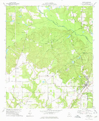 1974 Byron1976 Print · USGSThe town of Byron in the mid-1970s is shown as a rural hub at the intersection of the Central of Georgia railroad and the regional creek system. Researchers can trace family sites at Hardison Ch, Society Hill Cem, and the youth camp at Camp Benjamin Hawkins.2 unique versions available
 - 1977 Map of Hawkinsville
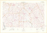 1977 Hawkinsville1977 Print · USGSSouth Georgia’s agricultural and rail heartland is meticulously documented during the late seventies. Researchers can trace family ties and transit routes through old depots and towns like Unadilla, Pineview, and Hawkinsville along the Ocmulgee River.
 - 1978 Map of Hawkinsville, 1979 Print
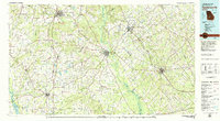 1978 Hawkinsville1979 Print · USGSMiddle Georgia's agricultural and rail heartland is captured here in the late seventies, showing the vital connections between the Ocmulgee River and the rural plains. Genealogists and historians can trace family locations near Vienna, Hawkinsville, or along the tracks of the Southern railroad.
 - 1978 Map of Macon, 1980 Print
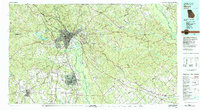 1978 Macon1980 Print · USGSCentral Georgia during the late seventies reveals a landscape shaped by military expansion and clay mining. Genealogists and local historians can trace the development of Warner Robins, the grounds of Wesleyan College, and the rural surroundings of Griswoldville.2 unique versions available
 - 1981 Map of Thomaston, 1982 Print
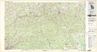 1981 Thomaston1982 Print · USGSCentral Georgia’s ridgeline and river country comes into focus in this early 1980s survey of the Pine Mountain corridor. Researchers can trace historic church sites like Oak Grove Ch, the rail junctions at Manchester, and the expansive Franklin D Roosevelt State Park.
 - 1988 Map of Macon, 1989 Print
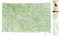 1988 Macon1989 Print · USGSCentral Georgia is captured during the late eighties, showing the expansive river systems and growing urban hubs of the regional interior. Genealogists and historians can trace the paths of the Central of Georgia Railroad and locate communities like Warner Robbins, Dublin, and Sandersville.
 - 2011 Map of Reynolds, 2011 Print
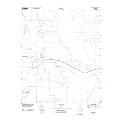 2011 Reynolds2011 Print · USGSTaylor County at the start of the century is defined by rural settlements and the winding Flint River. Genealogists and local historians can locate community landmarks like Potterville, New Hope Cemetery, and the banks of Patsiliga Creek.
 - 2011 Map of Perry West, 2011 Print
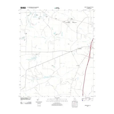 2011 Perry West2011 Print · USGSHouston County at the start of the 2010s shows a landscape of growing residential subdivisions and managed waterways west of Perry. Genealogists and local historians can trace the developments of Saint Louis, Myrtle, and the Hoses Cemetery.
 - 2011 Map of Warner Robins NW, 2011 Print
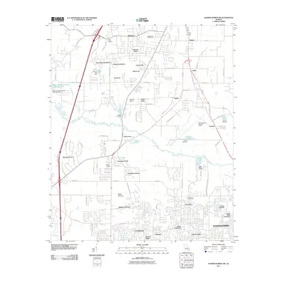 2011 Warner Robins NW2011 Print · USGSWarner Robins and Centerville were undergoing significant suburban expansion in the early 21st century. Genealogists and historians can trace family-named sites like Skipperton and Jones Chapel Cemetery alongside landmarks like Honey Ridge Plantation.
 - 2011 Map of Byron, 2011 Print
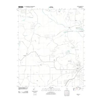 2011 Byron2011 Print · USGSThe community of Byron and its rural surrounds are captured here during a period of modern expansion in central Georgia. Researchers can trace family roots through several local burial sites like Jordan Chapel Cemetery or locate landmarks such as Duke Airport and Friendship.
Showing maps 1-25 of 61
Top cities of Peach County
Frequently asked questions
- What are the different types of historical maps available for Peach County?
- What is the oldest map of Peach County?
- Where can I purchase historical maps of Peach County for my home or office?
- Where can I download high-res historical maps of Peach County?
- Are there historical topographic maps available for Peach County?
- Is there historical aerial imagery available for Peach County?
- Where are historical maps of Peach County sourced from?