Old Maps of Crossroads, Georgia
Explore 10 old maps of Crossroads, spanning from 1953 to today. These high-resolution historic maps reveal how streets, neighborhoods, landmarks, and natural features evolved over time — perfect for genealogy, metal detecting, research, and local history exploration.
What you can do with these maps:
- See how Crossroads changed over time: Compare historical maps to modern-day views to trace roads, homesites, rail lines & more.
- View detailed metadata: Each map includes creators, publishers, year, scale, and archive source.
- Overlay maps with satellite & LiDAR: Visualize the past alongside modern tools to explore terrain & human change.
- Trusted historical sources: Maps sourced from the USGS, Library of Congress, and other archives.
- Access maps your way: View online, download high-res files, or order prints for personal or research use.
Start exploring old maps of Crossroads to uncover forgotten places, hidden landmarks, and the deep history beneath your feet.
Crossroads, GA maps
(10)- 1953 Map of Dothan, 1966 Print
 1953 Dothan1966 Print · USGSSoutheast Alabama and Southwest Georgia are captured during a period of massive hydraulic and military expansion in the mid-fifties. Genealogists and historians can trace rural landmarks like Antioch Church and School, the Andrew Jackson Monument, and the early footprint of Fort Rucker Military Reservation.3 unique versions available
 - 1954 Map of Dothan
 1954 Dothan1954 Print · USGSSoutheast Alabama and Southwest Georgia are seen here in the mid-fifties, during a decade of military expansion and rural transition. Genealogists can trace the location of country schools like Little Zion School or the grounds of Kolomoki Mounds State Park.
 - 1955 Map of Dothan
 1955 Dothan1955 Print · USGSSoutheast Alabama and Southwest Georgia are captured here in the mid-fifties, showing a landscape of river-port history and growing military bases. Researchers can trace rural life via the Andrew Jackson Monument, Bauxite mines, and the Central of Georgia RR.
 - 1973 Map of Morris, 1974 Print
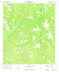 1973 Morris1974 Print · USGSAcross Quitman and Randolph counties in the early seventies, this survey captures a rural landscape shaped by the rail and mining industries. Genealogists and local historians can trace the foundations of Morris, Springvale, and Mt Zion Ch alongside active strip mines.
 - 1981 Map of Albany, 1982 Print
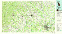 1981 Albany1982 Print · USGSSouthwest Georgia in the early eighties was a region defined by its rail hubs and winding river systems. Here you can trace the agricultural landscape from Albany to Dawson, locating sites like Radium Springs, the U S Naval Reservation, and the historic junction at Shellman.
 - 2011 Map of Morris, 2011 Print
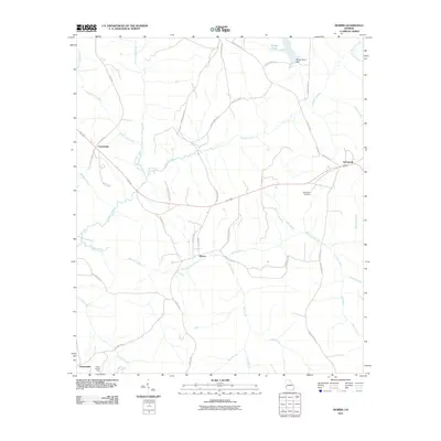 2011 Morris2011 Print · USGSQuitman County at the turn of the decade is defined by its quiet rural settlements and the winding waters of Pataula Creek. Genealogists and local historians can trace family-named roads and remote landmarks like Springvale Cemetery and the Perkins Lookout Tower.
 - 2014 Map of Morris, 2014 Print
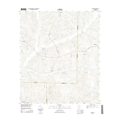 2014 Morris2014 Print · USGSThe tri-county junction of Quitman, Clay, and Randolph counties comes into focus in this early twenty-first-century survey. Local researchers can trace family lands near Morris, locate the Springvale Cem, or follow the winding course of Pataula Creek.
 - 2017 Map of Morris, 2017 Print
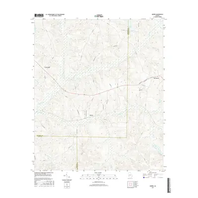 2017 Morris2017 Print · USGSThe tri-county border of Quitman, Clay, and Randolph counties is revealed in this modern survey of southwest Georgia. Researchers can trace rural lineages through family-named routes and local landmarks like Springvale Cem, Morris, and the waters of Pataula Creek.
 - 2020 Map of Morris, 2020 Print
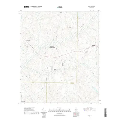 2020 Morris2020 Print · USGSSouthwest Georgia's rural interior is documented here in the early twenty-first century, showcasing a landscape of dispersed agricultural settlements. Genealogists can trace family landmarks near Springvale Cem or follow the waters of Pataula Creek and Holanna Creek through Morris and Garnersville.
 - 2024 Map of Morris, 2024 Print
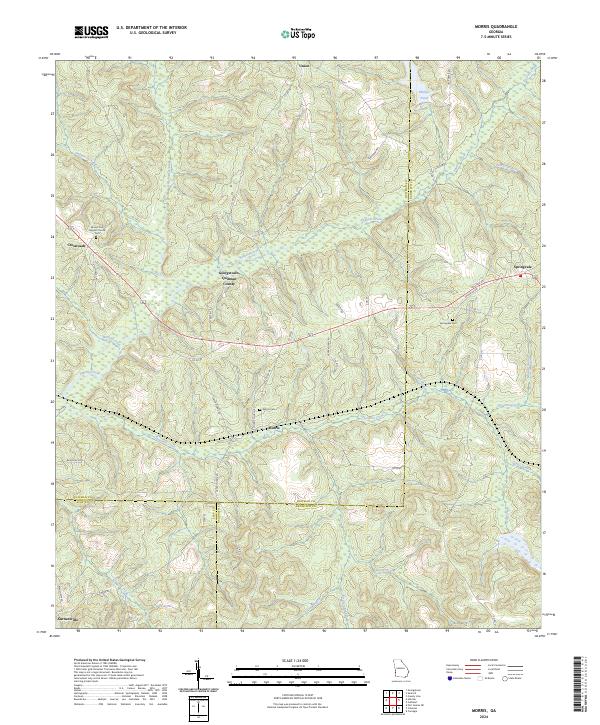 2024 Morris2024 Print · USGSQuitman and Randolph counties appear in this recent survey of southwest Georgia's rural heartland. Family historians can trace local landmarks like Springvale Cemetery and the settlements at Morris and Garnersville.
End of results
Showing maps 1-10 of 10
Top cities near Crossroads
- Eufaula historical maps
- Cuthbert historical maps
- Lumpkin historical maps
- Fort Gaines historical maps
- Georgetown historical maps
- Coleman historical maps
Frequently asked questions
- What are the different types of historical maps available for Crossroads?
- What is the oldest map of Crossroads?
- Where can I purchase historical maps of Crossroads for my home or office?
- Where can I download high-res historical maps of Crossroads?
- Are there historical topographic maps available for Crossroads?
- Is there historical aerial imagery available for Crossroads?
- Where are historical maps of Crossroads sourced from?