Old Maps of Mountain City, Georgia for Metal Detecting
Plan your next treasure hunt with 24 historic maps of Mountain City. Find old homesites, ghost towns, trails, and gathering spots that may be lost to time — perfect for identifying promising metal detecting locations.
- Locate forgotten sites: Uncover places like long-lost settlements, abandoned rail lines, or gathering spots.
- Plan better hunts: Use map overlays combined with LiDAR or satellite views to narrow in on historically rich areas.
- Made for detectorists: Thousands of hobbyists use these maps to discover relics, coins, and hidden history.
Use these historic maps to boost your research and find new opportunities beneath the surface of Mountain City.
Mountain City, GA maps
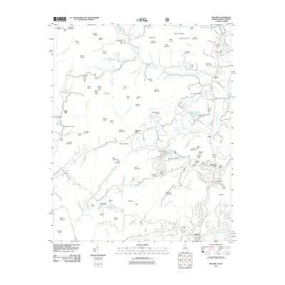
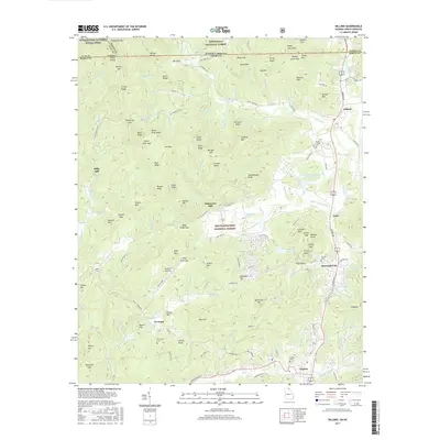
(24)- 1886 Map of Walhalla
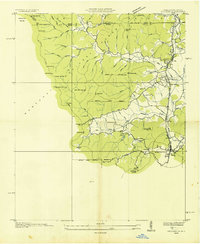
 1886 Walhalla1886 Print · USGSThe foothills of the Blue Ridge come alive in this late nineteenth-century survey of the Georgia and South Carolina borderlands. Genealogists and historians can trace the early rail networks through Walhalla and Toccoa, or locate family landmarks like Batchelor's Retreat and Mosley's Mill.
 - 1892 Map of Walhalla
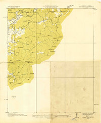
 1892 Walhalla1892 Print · USGSThe tri-state border region of Georgia and the Carolinas comes alive in this late nineteenth-century survey. Genealogists and historians can trace family-named landmarks like Young Davis's or locate river crossings like Jenkins's Ferry and the Bachelors Retreat P.O.7 unique versions available
 - 1896 Map of Walhalla
 1896 Walhalla1896 Print · USGSThe tri-state mountain country comes alive in this late 1800s survey of the Oconee and Habersham borderlands. Researchers can trace early river commerce and transit through Ramsey Ferry, the tracks of the Blue Ridge Railroad, and the industrial site of Mosley Mill.
 - 1935 Map of Dillard
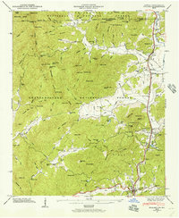
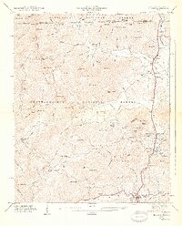
 1935 Dillard1935 Print · USGSThe Georgia and North Carolina borderlands are captured here in the mid-1930s as the rail and highway networks expanded through the mountains. Researchers can locate the Rabun Gap Nacoochee Sch, trace the Tallulah Falls RR, and find local landmarks like Wolf Fork Ch.
 - 1935 Map of Rabun Bald
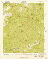
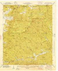
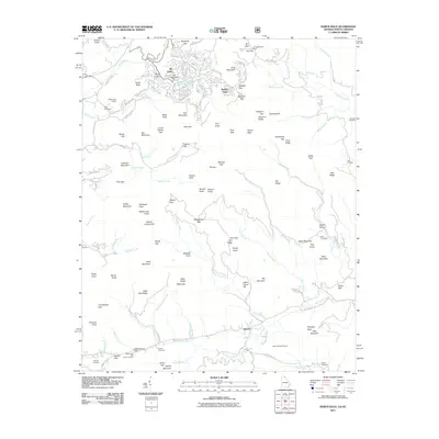
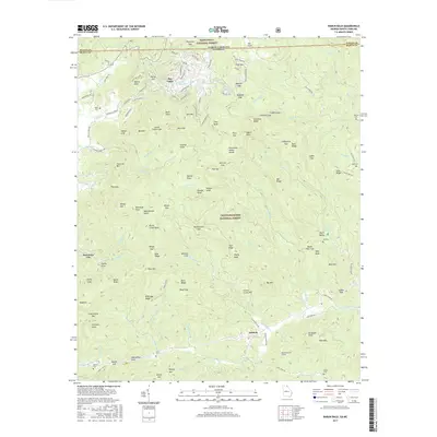
 1935 Rabun Bald1935 Print · USGSThe Georgia and North Carolina high country is captured here during the mid-thirties, dominated by the ridge lines of the Blue Ridge. Researchers can trace old mountain trails to landmarks like the Fire Tower at Rabun Bald or locate family sites near Dillard and Stillhouse Creek.
 - 1946 Map of Dillard, 1956 Print
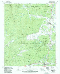
 1946 Dillard1956 Print · USGSRabun County mountain life is captured here in the years following the war, centered on the vital passage through Rabun Gap. Local historians can trace the Tallulah Falls RR and locate the Queen Mine, Kilby Mill, and the Rabun Gap Nacoochee Sch.4 unique versions available
 - 1946 Map of Rabun Bald, 1956 Print
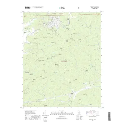
 1946 Rabun Bald1956 Print · USGSThe Blue Ridge high country of Georgia and North Carolina is surveyed here just after the war. Local researchers can find family landmarks like Locust School, Hale Church Cem, and the high-elevation flats near Rabun Bald.4 unique versions available
 - 1947 Map of Rabun Bald
 1947 Rabun Bald1947 Print · USGSThe Georgia-North Carolina borderlands appear in the late 1940s as a landscape of isolated mountain communities and forest preserves. Genealogists can locate family landmarks such as Locust School, Hale Church Cem, and the high summit of Rabun Bald.2 unique versions available
 - 1947 Map of Dillard
 1947 Dillard1947 Print · USGSNorth Georgia and the Carolina border are mapped here just after the war, showing the mountain communities at the headwaters of the Little Tennessee River. Genealogists and historians can locate family landmarks like Wesley Chapel Cem, Dickerson Mill, and the Rabun Gap Nacoochee Sch.2 unique versions available
 - 1954 Map of Greenville, 1965 Print
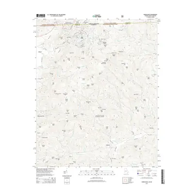
 1954 Greenville1965 Print · USGSThe Upstate and Northeast Georgia are captured here during a decade of massive transformation as new reservoirs reshaped the Piedmont. Genealogists and hikers can trace the Appalachian Trail over Brasstown Bald or locate old community centers like Demorest, Westminster, and Royston.3 unique versions available
 - 1958 Map of Greenville
 1958 Greenville1958 Print · USGSThe Piedmont and Blue Ridge foothills come alive in this mid-century survey of the Upstate and Northeast Georgia. Trace the regional rail-and-river economy through the Southern Railway corridors and early reservoir developments like Lake Sidney Lanier.
 - 1981 Map of Toccoa, 1982 Print
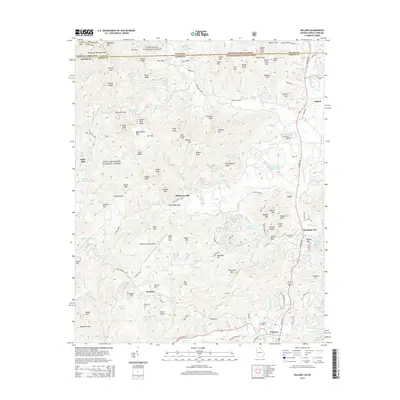
 1981 Toccoa1982 Print · USGSThe tri-state mountain region where Georgia meets the Carolinas is shown here in the early eighties. Genealogists and historians can trace family-named locations and settlements from Dahlonega to Tallulah Falls, along with the Southern rail corridor.2 unique versions available
 - 1988 Map of Dillard
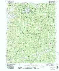
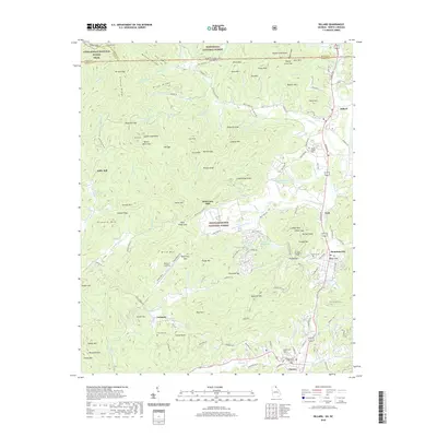
 1988 Dillard1988 Print · USGSThe high divide of the Blue Ridge Mountains comes alive in the late eighties as Georgia and North Carolina meet. Genealogists and hikers can trace family sites like Germany Cem, schools such as Rabun Gap Nacoochee Sch, and the winding Appalachian National Scenic Trail.2 unique versions available
 - 1988 Map of Rabun Bald
 1988 Rabun Bald1988 Print · USGSThe Blue Ridge high country along the Georgia and North Carolina border is captured here in the late eighties. Researchers can trace family history through sites like Kelly Cem, Hale Church, and the high-elevation Locust School Gap.2 unique versions available
 - 2011 Map of Dillard, 2011 Print
 2011 Dillard2011 Print · USGSCovers Mountain City, including Clayton, Dillard, and other nearby areas
 - 2011 Map of Rabun Bald, 2011 Print
 2011 Rabun Bald2011 Print · USGSCovers Mountain City, including Dillard, Sky Valley, and other nearby areas
 - 2014 Map of Rabun Bald, 2014 Print
 2014 Rabun Bald2014 Print · USGSCovers Mountain City, including Dillard, Sky Valley, and other nearby areas
 - 2014 Map of Dillard, 2014 Print
 2014 Dillard2014 Print · USGSCovers Mountain City, including Clayton, Dillard, and other nearby areas
 - 2017 Map of Dillard, 2017 Print
 2017 Dillard2017 Print · USGSCovers Mountain City, including Clayton, Dillard, and other nearby areas
 - 2017 Map of Rabun Bald, 2017 Print
 2017 Rabun Bald2017 Print · USGSCovers Mountain City, including Dillard, Sky Valley, and other nearby areas
 - 2020 Map of Dillard, 2020 Print
 2020 Dillard2020 Print · USGSCovers Mountain City, including Clayton, Dillard, and other nearby areas
 - 2020 Map of Rabun Bald, 2020 Print
 2020 Rabun Bald2020 Print · USGSCovers Mountain City, including Dillard, Sky Valley, and other nearby areas
 - 2024 Map of Dillard, 2024 Print
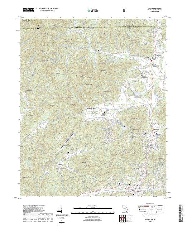 2024 Dillard2024 Print · USGSThe Georgia-North Carolina state line comes alive in this current-era map of the Blue Ridge high country. Researchers can trace historic family landmarks from Dickerson Mill to rural burial sites like Germany Cem and Mountain Grove Church Cem.
 - 2024 Map of Rabun Bald, 2024 Print
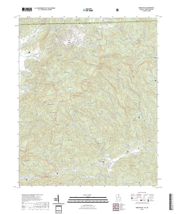 2024 Rabun Bald2024 Print · USGSRabun County and the Georgia-North Carolina border are captured in this recent survey of high-country gaps and forest settlements. Genealogists can trace family names at Kelly Cem and Pleasant Hill Cem or locate the site of Locust School Gap.
End of results
Showing maps 1-24 of 24
Top cities near Mountain City
- Franklin historical maps
- Clayton historical maps
- Tiger historical maps
- Dillard historical maps
- Sky Valley historical maps
Frequently asked questions
- What are the different types of historical maps available for Mountain City?
- What is the oldest map of Mountain City?
- Where can I purchase historical maps of Mountain City for my home or office?
- Where can I download high-res historical maps of Mountain City?
- Are there historical topographic maps available for Mountain City?
- Is there historical aerial imagery available for Mountain City?
- Where are historical maps of Mountain City sourced from?