2020s Maps of Randolph County, Georgia
Explore 32 historic maps of Randolph County from the 2020s. These maps offer a rare glimpse into what life looked like during the 2020s — showing old roads, neighborhoods, homes, and landmarks that have changed or disappeared over time.
Whether you're researching your family's past, planning a metal detecting trip, or studying how Randolph County's landscape evolved across the 2020s, these high-resolution maps are a powerful tool for exploring the history of this region.
- Focus on a specific era: All maps on this page are from the 2020s, giving you a focused view of this time period.
- See what’s changed: Compare century-old streets, trails, and buildings to today's modern landscape using overlays and satellite layers.
- Research with precision: Use these maps for genealogy, historical research, land use analysis, or educational projects.
- View, download, or print: Maps are fully viewable online in high resolution, and can be downloaded or printed for your own records.
Start exploring Randolph County's history through authentic maps from the 2020s. This is your window into the past.
Randolph County, GA maps
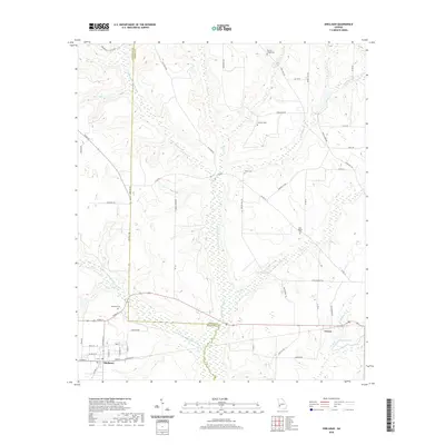
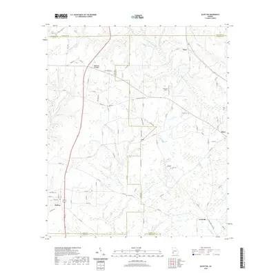
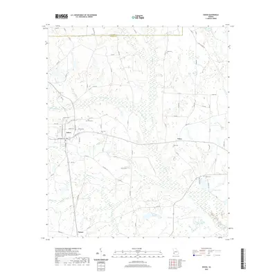
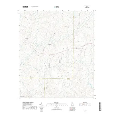
(32)- 2020 Map of Zetto, 2020 Print
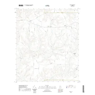 2020 Zetto2020 Print · USGSCovers Randolph County, including Bluffton, Zetto, and other nearby areas
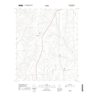
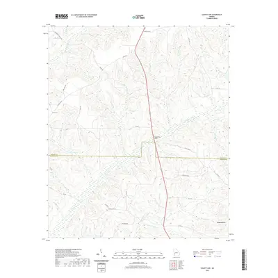
 - 2020 Map of Cuthbert, 2020 Print
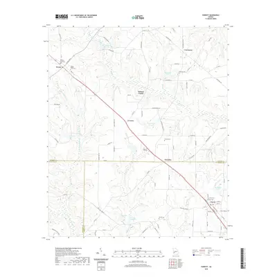
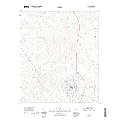 2020 Cuthbert2020 Print · USGSCovers Randolph County, including Cuthbert, Benevolence, and other nearby areas
 - 2020 Map of Sanford, 2020 Print
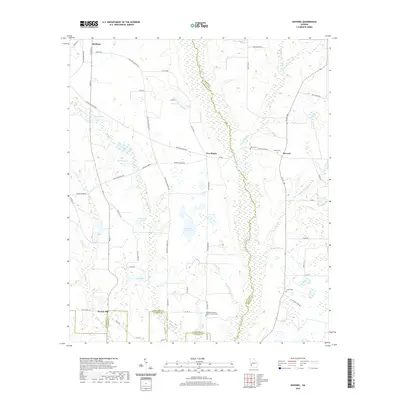
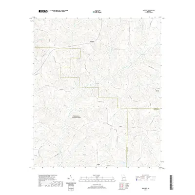 2020 Sanford2020 Print · USGSCovers Randolph County, including Sanford, Union, and other nearby areas
 - 2020 Map of Martins Crossroads, 2020 Print
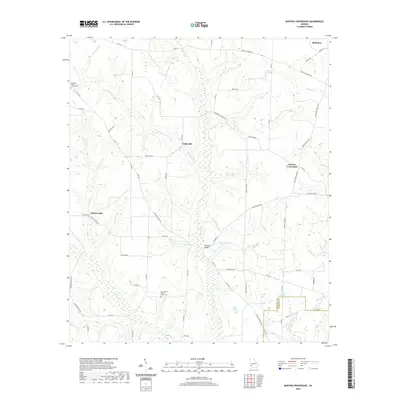 2020 Martins Crossroads2020 Print · USGSCovers Randolph County, including Shellman, Shivers Mill, and other nearby areas
 - 2020 Map of Shellman, 2020 Print
 2020 Shellman2020 Print · USGSCovers Randolph County, including Shellman, Graves, and other nearby areas
 - 2020 Map of Carnegie, 2020 Print
 2020 Carnegie2020 Print · USGSCovers Randolph County, including Carnegie, United States, and other nearby areas
 - 2020 Map of Bluffton, 2020 Print
 2020 Bluffton2020 Print · USGSCovers Randolph County, including Edison, Bluffton, and other nearby areas
 - 2020 Map of Benevolence, 2020 Print
 2020 Benevolence2020 Print · USGSCovers Randolph County, including Weston, Gore, and other nearby areas
 - 2020 Map of Edison, 2020 Print
 2020 Edison2020 Print · USGSCovers Randolph County, including Edison, Turman, and other nearby areas
 - 2020 Map of Morgan, 2020 Print
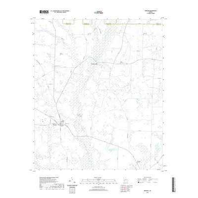 2020 Morgan2020 Print · USGSCovers Randolph County, including Morgan, Cordrays Mill, and other nearby areas
 - 2020 Map of Coleman, 2020 Print
 2020 Coleman2020 Print · USGSCovers Randolph County, including Coleman, Cotton Hill, and other nearby areas
 - 2020 Map of County Line, 2020 Print
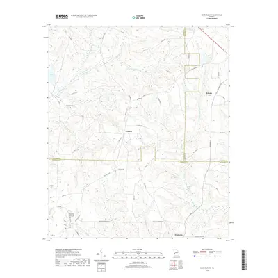
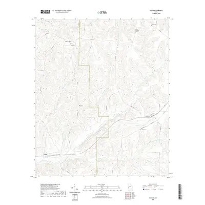
 2020 County Line2020 Print · USGSCovers Randolph County, including Benevolence, Stewart County, and other nearby areas
 - 2020 Map of Morris, 2020 Print
 2020 Morris2020 Print · USGSCovers Randolph County, including Crossroads, Morris, and other nearby areas
 - 2020 Map of Brooksville, 2020 Print
 2020 Brooksville2020 Print · USGSCovers Randolph County, including Shellman, Benevolence, and other nearby areas
 - 2020 Map of Doverel, 2020 Print
 2020 Doverel2020 Print · USGSCovers Randolph County, including Shellman, Aycock Mill, and other nearby areas
 - 2020 Map of Parrott, 2020 Print
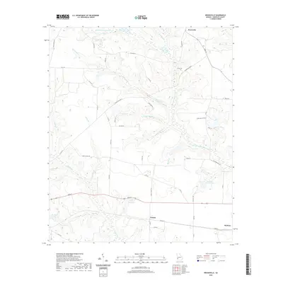
 2020 Parrott2020 Print · USGSCovers Randolph County, including Parrott, Weston, and other nearby areas
 - 2024 Map of Martins Crossroads, 2024 Print
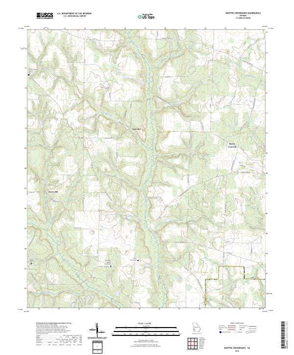 2024 Martins Crossroads2024 Print · USGSRandolph and Calhoun Counties come alive in this detailed record of rural Georgia's mills and family landmarks. Researchers can trace ancestral lands and rural industry near Goffs Mill, Shivers Mill, and the Martin Family Cem.
 - 2024 Map of Zetto, 2024 Print
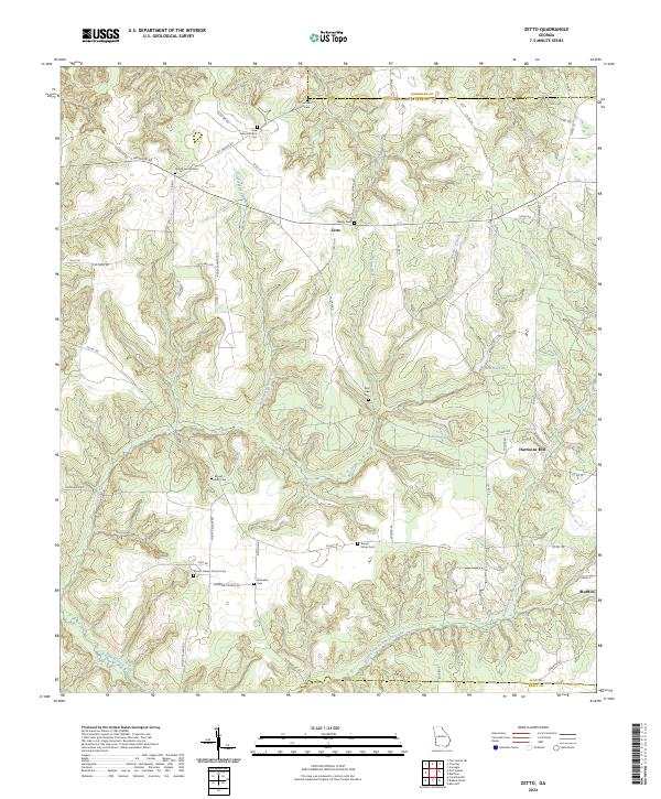 2024 Zetto2024 Print · USGSClay County's rural farming landscape is captured in this recent survey of western Georgia. Researchers can locate numerous family and community landmarks, including Harrisons Mill, Mount Zion Cem, and the quiet crossroads of Zetto.
 - 2024 Map of Edison, 2024 Print
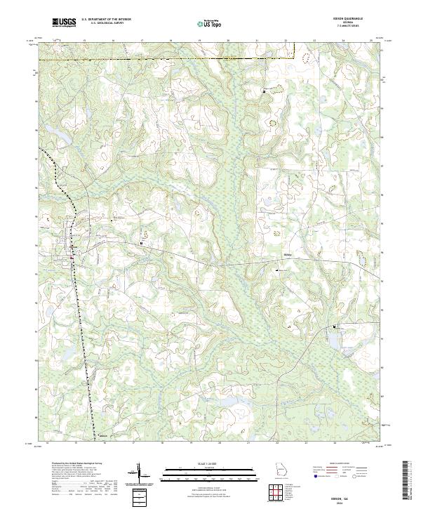 2024 Edison2024 Print · USGSCalhoun County in the modern era maintains its deep agricultural roots and network of creek-side settlements. Researchers can locate family sites at Saint Stephens Cem, trace the waters of Pachitla Creek, and explore the rural layout of Edison and Dickey.
 - 2024 Map of Carnegie, 2024 Print
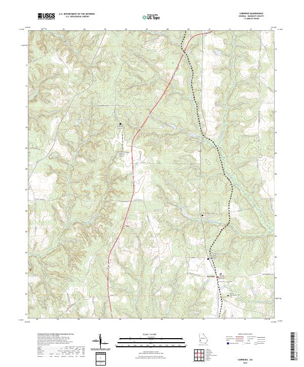 2024 Carnegie2024 Print · USGSRandolph County's rural character is preserved in this recent survey of the area around the settlement of Carnegie. Genealogists and historians can trace family locations through numerous sites like Pleasant Hill Freewill Baptist Church Cem and Mount Hebron Church Cem.
 - 2024 Map of Brooksville, 2024 Print
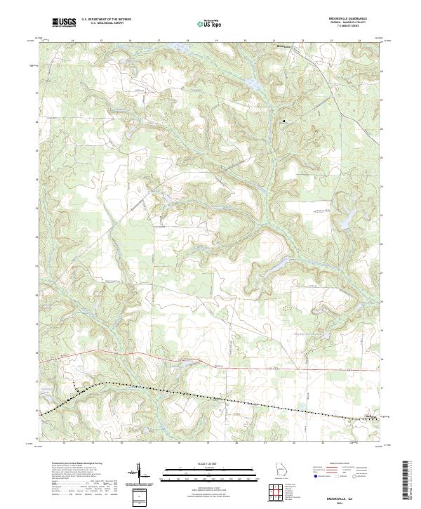 2024 Brooksville2024 Print · USGSRandolph County's rural landscape is captured here during a period of modern agricultural stability and preserved historical boundaries. Researchers can trace family roots near Margus Cem or explore the rail-linked history of Shellman and Pachitla.
 - 2024 Map of Sanford, 2024 Print
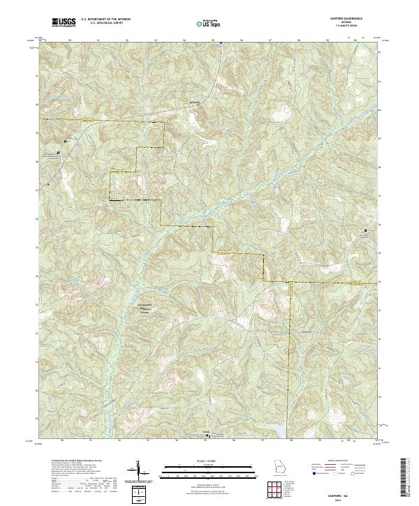 2024 Sanford2024 Print · USGSThe rural borderlands where Quitman, Stewart, and Randolph counties meet are captured here in the early twenty-first century. Researchers can trace ancestral sites like Hogan Family Cem and the community at Sugar Hill along the banks of Hodchodkee Creek.
 - 2024 Map of Shellman, 2024 Print
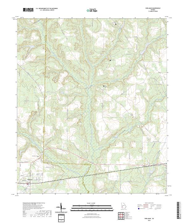 2024 Shellman2024 Print · USGSRandolph and Terrell counties are captured here in the current era, showing a landscape defined by deep creek valleys and small rural junctions. Genealogists can locate several local burial grounds like Pierce Chapel Cem and Rehoboth Cem near the town of Shellman.
 - 2024 Map of Coleman, 2024 Print
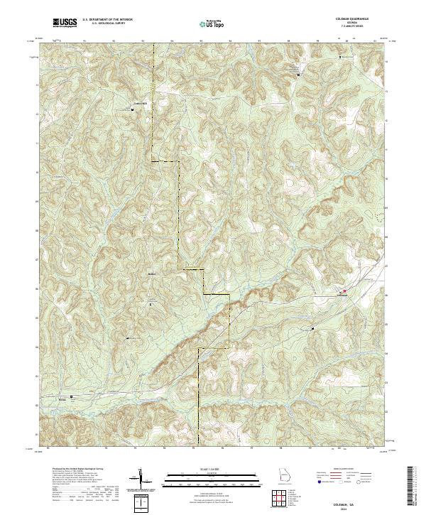 2024 Coleman2024 Print · USGSRandolph and Clay counties are shown here in recent years, documenting a landscape of rural crossroads and historic family burial sites. Genealogists can trace local lineages through Singletary Cemetery, New Hope Cemetery, and the settlement at Cotton Hill.
 - 2024 Map of Morgan, 2024 Print
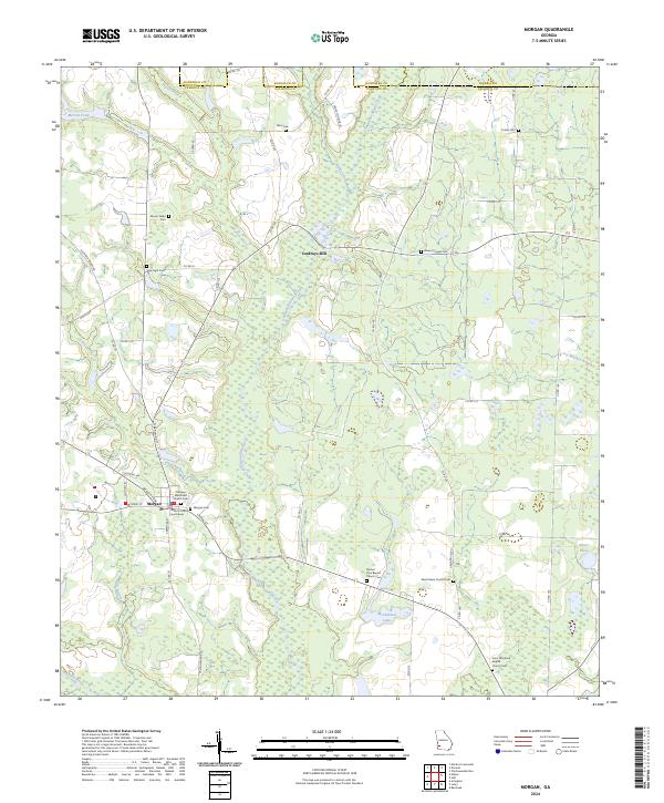 2024 Morgan2024 Print · USGSThe seat of Calhoun County comes into focus here, showing the rural landscape around Morgan as it appears today. Researchers can locate family landmarks and burial sites like Cordrays Mill, Mount Nebo Cem, and the Calhoun County Courthouse.
Showing maps 1-25 of 32
Top cities of Randolph County
Frequently asked questions
- What are the different types of historical maps available for Randolph County?
- What is the oldest map of Randolph County?
- Where can I purchase historical maps of Randolph County for my home or office?
- Where can I download high-res historical maps of Randolph County?
- Are there historical topographic maps available for Randolph County?
- Is there historical aerial imagery available for Randolph County?
- Where are historical maps of Randolph County sourced from?