2010s Maps of Randolph County, Georgia
Explore 48 historic maps of Randolph County from the 2010s. These maps offer a rare glimpse into what life looked like during the 2010s — showing old roads, neighborhoods, homes, and landmarks that have changed or disappeared over time.
Whether you're researching your family's past, planning a metal detecting trip, or studying how Randolph County's landscape evolved across the 2010s, these high-resolution maps are a powerful tool for exploring the history of this region.
- Focus on a specific era: All maps on this page are from the 2010s, giving you a focused view of this time period.
- See what’s changed: Compare century-old streets, trails, and buildings to today's modern landscape using overlays and satellite layers.
- Research with precision: Use these maps for genealogy, historical research, land use analysis, or educational projects.
- View, download, or print: Maps are fully viewable online in high resolution, and can be downloaded or printed for your own records.
Start exploring Randolph County's history through authentic maps from the 2010s. This is your window into the past.
Randolph County, GA maps
(48)- 2011 Map of Carnegie, 2011 Print
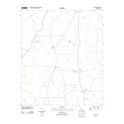 2011 Carnegie2011 Print · USGSRandolph County, Georgia, remains a landscape of quiet crossroads and historic churchyards in the early 2000s. Researchers can trace the layout of Carnegie, locate the Mount Hebron Church Cemetery, and see the flight paths at Cuthbert-Randolph Airport.
 - 2011 Map of Doverel, 2011 Print
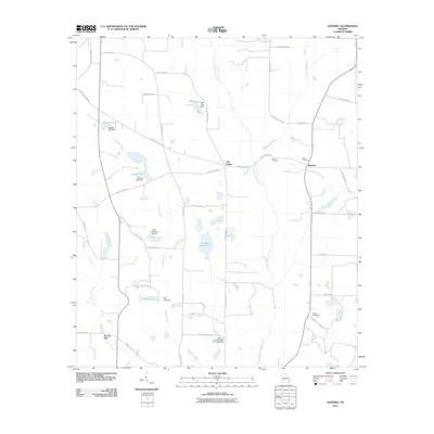 2011 Doverel2011 Print · USGSSouthwest Georgia's agricultural landscape is documented here in the early twenty-first century, centered on the rural crossroads of Doverel. Local historians can trace family roots at the Bethlehem Freewill Baptist Church Cemetery or locate the site of Aycock Mill near Pruitt Creek.
 - 2011 Map of Morgan, 2011 Print
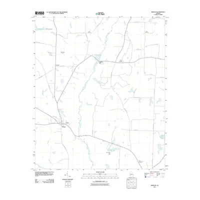 2011 Morgan2011 Print · USGSThe town of Morgan and the surrounding Calhoun County farmland are shown here in the early twenty-first century as a landscape of creeks and country roads. Genealogists can locate several family and community burying grounds, such as Mount Nebo Cemetery and Conley Cemetery, or trace the historical site of Cordrays Mill.
 - 2011 Map of Martins Crossroads, 2011 Print
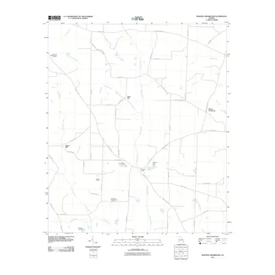 2011 Martins Crossroads2011 Print · USGSRandolph County's rural landscape is captured here in the early twenty-first century, showing a network of agricultural roads and historic watercourse landmarks. Family historians can locate the Damascus Baptist Church Cemetery or trace the legacy of local industry at Goffs Mill and Shivers Mill.
 - 2011 Map of Parrott, 2011 Print
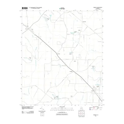 2011 Parrott2011 Print · USGSTerrell County farmland and local millponds are mapped here during the early twenty-first century. Researchers can trace rural lineages through sites like Macedonia Cemetery or explore the hydrography of Veneys Millpond and Ichawaynochaway Creek.
 - 2011 Map of Zetto, 2011 Print
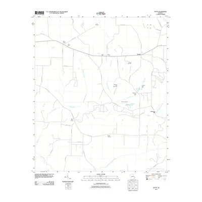 2011 Zetto2011 Print · USGSClay County at the start of the 2010s reveals a quiet agricultural landscape of crossroads and creek-side mills. Researchers can trace the heritage of local families through Harrisons Mill, Zetto, and five distinct burial grounds including Wesley Cemetery.
 - 2011 Map of Benevolence, 2011 Print
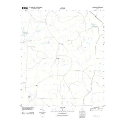 2011 Benevolence2011 Print · USGSWest Georgia's rural landscape is captured here in the early twenty-first century, showing a network of small settlements and traditional homesteads. Researchers can locate family landmarks like Sardis Cemetery, the community of Benevolence, and quiet water features such as Singers Pond.
 - 2011 Map of Shellman, 2011 Print
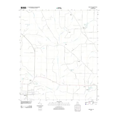 2011 Shellman2011 Print · USGSRandolph County's rural character and small-town centers are captured here as they appeared in the early 2000s. Genealogists can trace family landmarks across the landscape, from Pierces Chapel and Graves to the shores of Stephens Pond.
 - 2011 Map of Edison, 2011 Print
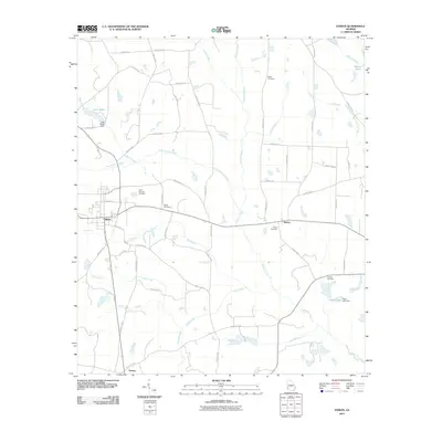 2011 Edison2011 Print · USGSThe rural landscapes of Calhoun County come into focus in this early 21st-century survey of the Edison area. Genealogists and local researchers can trace the locations of family landmarks like Regan Cemetery, Saint Stevens Cemetery, and the community of Dickey.
 - 2011 Map of Bluffton, 2011 Print
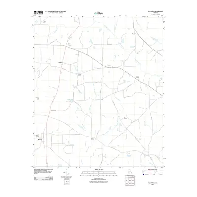 2011 Bluffton2011 Print · USGSThis Southwest Georgia landscape in the early twenty-first century reveals a deeply rooted rural community organized around small settlements and creek drainages. Researchers can locate family landmarks such as Vilulah Cemetery, Suttons Corner, and the waters of Spring Creek.
 - 2011 Map of County Line, 2011 Print
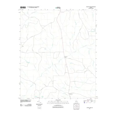 2011 County Line2011 Print · USGSBenevolence and the surrounding Randolph County countryside are shown here in the early twenty-first century. Researchers can trace rural community footprints and family landmarks such as Pumpkintown, Summerfield Bridge, and Carters Pond.
 - 2011 Map of Morris, 2011 Print
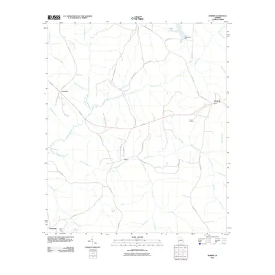 2011 Morris2011 Print · USGSQuitman County at the turn of the decade is defined by its quiet rural settlements and the winding waters of Pataula Creek. Genealogists and local historians can trace family-named roads and remote landmarks like Springvale Cemetery and the Perkins Lookout Tower.
 - 2011 Map of Brooksville, 2011 Print
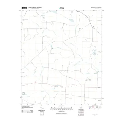 2011 Brooksville2011 Print · USGSRandolph County's rural landscape is meticulously detailed in the early 21st century, showing a region defined by agricultural water management and small settlements. Researchers can trace land use through features like Margus Cemetery, Camp Okitayakani, and the private runways at Bynum Airport.
 - 2011 Map of Coleman, 2011 Print
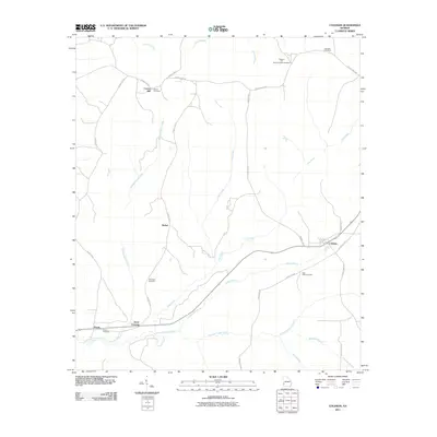 2011 Coleman2011 Print · USGSRandolph County's rural landscape is captured here in the early twenty-first century, showcasing a region defined by agricultural traditions and historic crossroads. Genealogists can locate family landmarks such as Shiloh Cemetery, Cotton Hill, and the community of Pecan.
 - 2011 Map of Cuthbert, 2011 Print
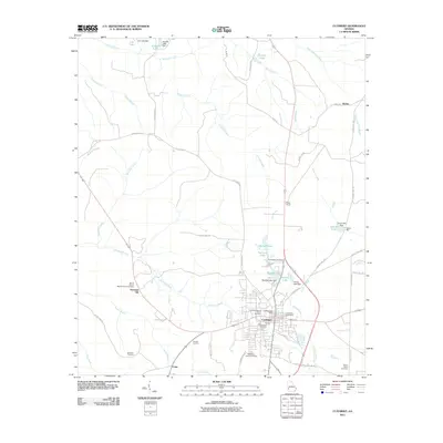 2011 Cuthbert2011 Print · USGSCuthbert and its surrounding Randolph County countryside are shown here at the start of the 2010s. Researchers can locate numerous historic burial grounds and churches, including Greenwood Cemetery, Friendship Baptist Church, and the site of Seelys Mill.
 - 2011 Map of Sanford, 2011 Print
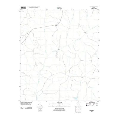 2011 Sanford2011 Print · USGSStewart County at the start of the 2010s was a landscape of quiet crossroads and winding creek branches. Researchers can trace family history through sites like Hogan Cemetery, the settlement of Union, and crossings at Ray Bridge.
 - 2014 Map of Brooksville, 2014 Print
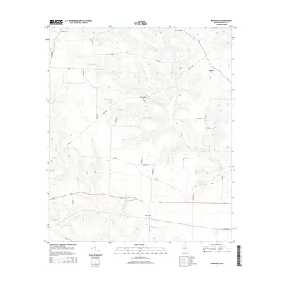 2014 Brooksville2014 Print · USGSRandolph County in the early twenty-first century is a landscape of creek-fed lakes and quiet rural crossroads. Researchers can trace family sites near Margus Cem or follow the waters of Little Ichawaynochaway Cr past Benevolence and Pachitla.
 - 2014 Map of Benevolence, 2014 Print
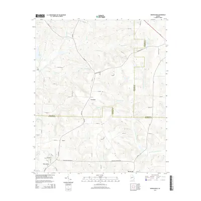 2014 Benevolence2014 Print · USGSGeorgia's rural landscape at the intersection of Randolph, Stewart, and Webster counties is documented here in the early twenty-first century. Genealogists and historians can trace family locations near Benevolence, Sardis Cem, and the Benevolence Baptist Church Cem.
 - 2014 Map of Zetto, 2014 Print
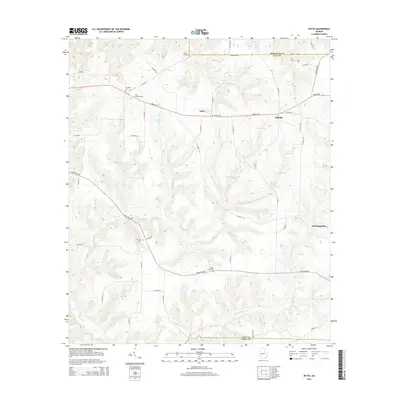 2014 Zetto2014 Print · USGSClay County and the Randolph border are captured here in the early twenty-first century, showing a rural landscape defined by its waterways and family landholdings. Researchers can locate several historic burial grounds like M Zion Cem and landmarks such as Harrisons Mill or the Clay Lookout Tower.
 - 2014 Map of Carnegie, 2014 Print
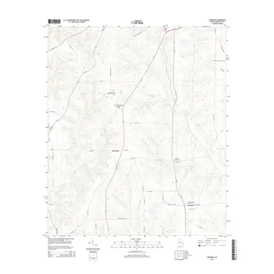 2014 Carnegie2014 Print · USGSThe rural landscape of Randolph County unfolds in the 2010s, centered on the settlement of Carnegie. Genealogists can locate family sites at Mt Hebron Church Cemetery or trace the early paths of Cemochechobee Creek and Yankee Branch.
 - 2014 Map of Coleman, 2014 Print
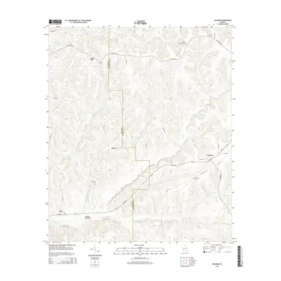 2014 Coleman2014 Print · USGSRandolph and Clay Counties are captured in this modern survey of Southwest Georgia. Genealogists and historians can trace family roots through several rural landmarks, including New Hope Cemetery, Pecan Cemetery, and the community at Coleman.
 - 2014 Map of Cuthbert, 2014 Print
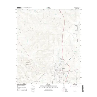 2014 Cuthbert2014 Print · USGSCuthbert and the surrounding Randolph County countryside are shown here in the early twenty-first century as a landscape of established colleges and historic cemeteries. Genealogists can trace family locations near Mt Vernon Baptist Church Cem, Springvale, or the grounds of Andrew Coll.
 - 2014 Map of County Line, 2014 Print
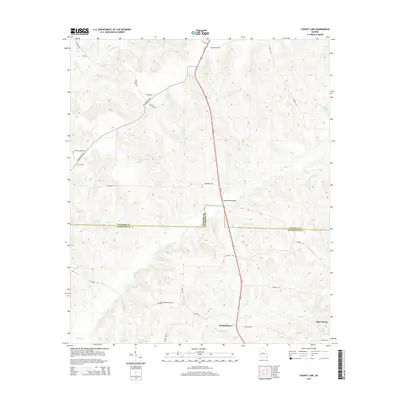 2014 County Line2014 Print · USGSThe Stewart and Randolph county line area in the early 2010s is captured here with its network of rural creek-side roads and minor watercourses. Researchers can locate the settlement of Pumpkintown or trace old property landmarks like Summerfield Bridge and Wards Mill Br.
 - 2014 Map of Doverel, 2014 Print
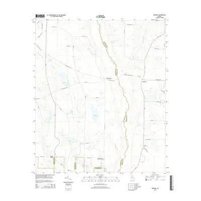 2014 Doverel2014 Print · USGSThe rural borderlands of Randolph and Terrell counties come into focus in the mid-2010s, showing a landscape shaped by the Ichawaynochaway Creek and numerous lakes. Researchers can trace local history through sites like Aycock Mill and the Bethelem Freewill Baptist Church Cem.
 - 2014 Map of Morgan, 2014 Print
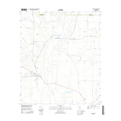 2014 Morgan2014 Print · USGSThe rural landscape of Calhoun County is captured here in the early twenty-first century, centered on the historic crossroads of Morgan. Genealogists and local historians can locate numerous burial sites like Mt Nebo Cem and trace the waterways of Ichawaynochaway Creek.
Showing maps 1-25 of 48
Top cities of Randolph County
Frequently asked questions
- What are the different types of historical maps available for Randolph County?
- What is the oldest map of Randolph County?
- Where can I purchase historical maps of Randolph County for my home or office?
- Where can I download high-res historical maps of Randolph County?
- Are there historical topographic maps available for Randolph County?
- Is there historical aerial imagery available for Randolph County?
- Where are historical maps of Randolph County sourced from?