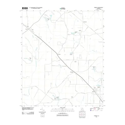
2011 Map of Parrott
USGS Topo · Published 2011About this map
The Georgia agricultural landscape of Terrell County is centered on the town of Parrott, where a network of rural roads and county lines converge near the Parrott Cemetery. The area is defined by its water management and milling history, evident in features like Veneys Millpond and Davenports Millpond, which represent the long-standing reliance on local creek systems for industry and irrigation. Small settlements such as Weston, Centerpoint, and Leveretts are interspersed among rolling fields, connected by a diagonal corridor of Highway 520.
Find a feature on this map
70 named features on this map. Tap any name to fly to it.
Don’t see what you’re looking for? This feature index may not catch every label — zoom into the map to look around manually.
Map Details
Editions of this 2011 Parrott Map
This is the sole edition of this map. No revisions or reprints were ever made.
Other maps of this area

1953 · Dothan
USGS Topo · 1:250,000

1954 · Dothan
USGS Topo · 1:250,000

1955 · Dothan
USGS Topo · 1:250,000

1955 · Phenix City
USGS Topo · 1:250,000

1957 · Phenix City
USGS Topo · 1:250,000

1958 · Phenix City
USGS Topo · 1:250,000
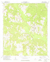
1972 · Preston
USGS Topo · 1:24,000

1972 · Parrott
USGS Topo · 1:24,000
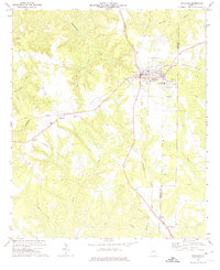
1972 · Richland
USGS Topo · 1:24,000
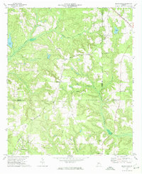
1972 · Benevolence
USGS Topo · 1:24,000