Old Maps of Blythe, Augusta for Hiking & Exploration
Hike through history with 16 historic maps of Blythe. Explore old trails, ghost towns, and forgotten backroads — perfect for outdoor adventurers and local explorers.
- Rediscover forgotten places: Map out old mining camps, roads, and footpaths that no longer exist on modern maps.
- Layer with modern tools: Combine with LiDAR or satellite views to plan hikes through historical terrain.
- Made for exploration: Popular among hikers, overlanders, and local history lovers.
Use these maps to find adventure and explore the hidden past of Blythe.
Blythe, Augusta maps
(16)- 1922 Map of Hephzibah
 1922 Hephzibah1922 Print · USGSRichmond County at the end of the First World War shows a landscape defined by military mobilization and deep-rooted rural communities. Local historians can trace the sprawling Camp Hancock cantonment or locate family landmarks like Palmer Academy and Hephzibah.3 unique versions available
 - 1948 Map of Hephzibah
 1948 Hephzibah1948 Print · USGSRichmond County and the Augusta suburbs are seen here during the late 1940s as military footprints like Camp Gordon began to reshape the landscape. Genealogists and local historians can locate dozens of country churches and rural cemeteries, from the Albion-Kaolin Chalk Mine to the Georgia Training School Farm.2 unique versions available
 - 1948 Map of Blythe, 1964 Print
 1948 Blythe1964 Print · USGSBlythe and the surrounding Richmond County countryside appear here just after the war, showing a landscape of small family farms and rural schools. Researchers can trace local genealogy through sites like Doyle Grove Church and School, the Saxon Cemetery, and the Camp Gordon Military Reservation boundary.4 unique versions available
 - 1953 Map of Blythe
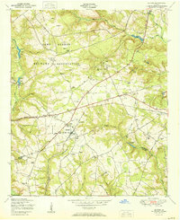 1953 Blythe1953 Print · USGSBlythe and the surrounding Georgia countryside are captured here in the early postwar era as military expansion met traditional rural life. Genealogists and local researchers can trace family landmarks like Rachels Cemetery, Hoods Chapel School, and the settlement at Ellwood.
 - 1953 Map of Athens, 1966 Print
 1953 Athens1966 Print · USGSGeorgia's Piedmont and Savannah River borderlands come alive in this mid-century survey of the region surrounding Athens and Augusta. Trace the rail-and-river economy through the Georgia RR and landmarks like the Fort Gordon Military Reservation.3 unique versions available
 - 1957 Map of Hephzibah, 1961 Print
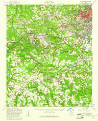 1957 Hephzibah1961 Print · USGSThe outskirts of Augusta and the expanding Fort Gordon military site characterize this mid-century look at Richmond County. Local historians can trace old family sites and rural institutions like Hancock Millpond, Second Ebenezer Ch, and the State Training School.2 unique versions available
 - 1958 Map of Athens
 1958 Athens1958 Print · USGSNorth-central Georgia and the Savannah River valley are captured in the late fifties, showing the region as the new reservoirs were filling. Researchers can trace historic rail lines like the Georgia RR and locate rural landmarks such as Social Circle, Graves Mountain, and the Fort Gordon Military Reservation.
 - 1959 Map of Athens
 1959 Athens1959 Print · USGSNortheast Georgia and the South Carolina borderlands appear here in the mid-fifties, during a decade of infrastructure growth. Genealogists and historians can trace the rail-and-river geography of towns like Social Circle, the sprawl of Fort Gordon Military Reservation, and the newly formed Clark Hill Reservoir.
 - 1963 Map of Athens
 1963 Athens1963 Print · USGSGeorgia's Piedmont and the Savannah River valley are captured in the early sixties as major reservoirs and military installations reshaped the landscape. Researchers can trace the development of Clark Hill Reservoir, locate the Fort Gordon Military Reservation, and find historic towns like Social Circle and Eatonton.
 - 1981 Map of Thomson, 1982 Print
 1981 Thomson1982 Print · USGSEast Georgia in the early eighties shows a transition from the urban fringes of Augusta to the deep river valleys of the Savannah River and Ogeechee River. Genealogists and historians can trace rail-side communities like Boneville, Camak, and Mesena along the historic Georgia railroad line.
 - 1988 Map of Athens
 1988 Athens1988 Print · USGSThe Georgia Piedmont and South Carolina borderlands appear in the late eighties as a landscape of vast reservoirs and growing towns. Researchers can trace the legacy of the Georgia RR connecting Athens and Augusta, or locate landmarks within Oconee National Forest.
 - 2011 Map of Blythe, 2011 Print
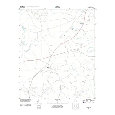 2011 Blythe2011 Print · USGSBlythe and the surrounding Georgia countryside are mapped here during a period of steady rural development in the early twenty-first century. Genealogists and historians can trace numerous family burial grounds and small settlements, such as Freeman Cemetery, Bath, and Union Mill Pond.
 - 2014 Map of Blythe, 2014 Print
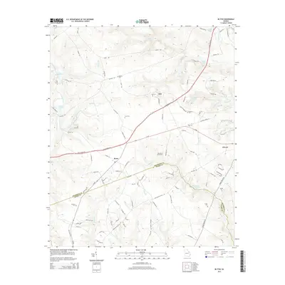 2014 Blythe2014 Print · USGSThe rural border of Richmond and Burke County is documented here during the early twenty-first century. Genealogists and historians can locate numerous family burial sites like Killebrew Cem and trace old routes such as Deans Bridge Rd and Hoods Chapel Rd.
 - 2017 Map of Blythe, 2017 Print
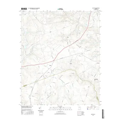 2017 Blythe2017 Print · USGSBlythe and the Richmond-Burke county line are captured here in the late twenty-teens, showing a rural Georgia landscape of family homesteads and historic burial grounds. Genealogists can trace family names at Bath Cem, Freeman Cem, and Hephzibah Springs Cem.
 - 2020 Map of Blythe, 2020 Print
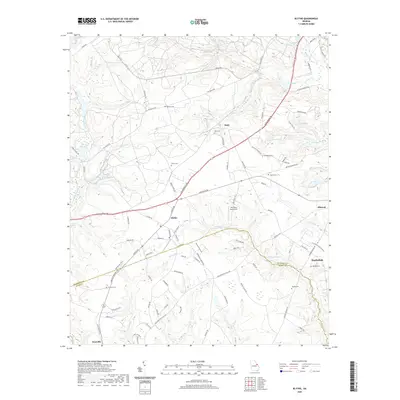 2020 Blythe2020 Print · USGSThe rural landscape southwest of Augusta is captured here as it appeared recently, straddling the Richmond and Burke County line. Genealogists and local historians can trace family locations through numerous sites like Bath Cem, Hughes Cem, and the distinctive Pea Patch Aerodrome.
 - 2024 Map of Blythe, 2024 Print
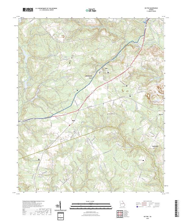 2024 Blythe2024 Print · USGSBlythe and the southern Richmond County landscape are documented here in the early twenty-first century. Genealogists can locate several family-named burial sites including Tarver Cem and Killebrew Cem near McBean Creek.
End of results
Showing maps 1-16 of 16
Top cities near Blythe
- Augusta historical maps
- North Augusta historical maps
- Grovetown historical maps
- Waynesboro historical maps
- Hephzibah historical maps
- Harlem historical maps
See more
Frequently asked questions
- What are the different types of historical maps available for Blythe?
- What is the oldest map of Blythe?
- Where can I purchase historical maps of Blythe for my home or office?
- Where can I download high-res historical maps of Blythe?
- Are there historical topographic maps available for Blythe?
- Is there historical aerial imagery available for Blythe?
- Where are historical maps of Blythe sourced from?