2000s (21st Century) Maps of Royston, Georgia
Explore 10 historic maps of Royston from the 2000s (21st Century). These maps offer a rare glimpse into what life looked like during the 2000s — showing old roads, neighborhoods, homes, and landmarks that have changed or disappeared over time.
Whether you're researching your family's past, planning a metal detecting trip, or studying how Royston's landscape evolved across the 2000s, these high-resolution maps are a powerful tool for exploring the history of this region.
- Focus on a specific era: All maps on this page are from the 2000s, giving you a focused view of this time period.
- See what’s changed: Compare century-old streets, trails, and buildings to today's modern landscape using overlays and satellite layers.
- Research with precision: Use these maps for genealogy, historical research, land use analysis, or educational projects.
- View, download, or print: Maps are fully viewable online in high resolution, and can be downloaded or printed for your own records.
Start exploring Royston's history through authentic maps from the 2000s. This is your window into the past.
Royston, GA maps
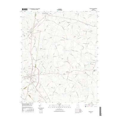
(10)- 2011 Map of Royston, 2011 Print
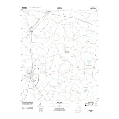 2011 Royston2011 Print · USGSCovers Royston, including Bowersville, Eagle Grove, and other nearby areas
 - 2011 Map of Carnesville, 2011 Print
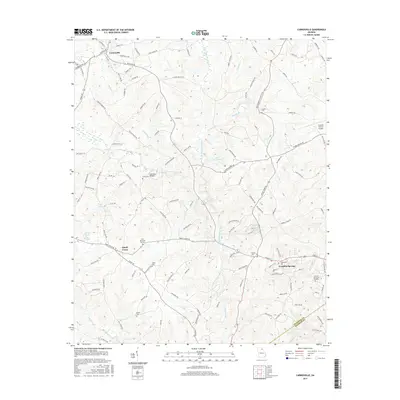
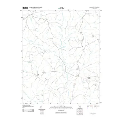 2011 Carnesville2011 Print · USGSCovers Royston, including Franklin Springs, Carnesville, and other nearby areas
 - 2014 Map of Carnesville, 2014 Print
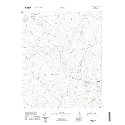
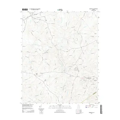 2014 Carnesville2014 Print · USGSCovers Royston, including Franklin Springs, Carnesville, and other nearby areas
 - 2014 Map of Royston, 2014 Print
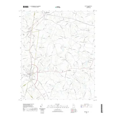
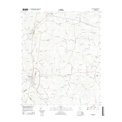 2014 Royston2014 Print · USGSCovers Royston, including Bowersville, Eagle Grove, and other nearby areas
 - 2017 Map of Royston, 2017 Print
 2017 Royston2017 Print · USGSCovers Royston, including Bowersville, Eagle Grove, and other nearby areas
 - 2017 Map of Carnesville, 2017 Print
 2017 Carnesville2017 Print · USGSCovers Royston, including Franklin Springs, Carnesville, and other nearby areas
 - 2020 Map of Carnesville, 2020 Print
 2020 Carnesville2020 Print · USGSCovers Royston, including Franklin Springs, Carnesville, and other nearby areas
 - 2020 Map of Royston, 2020 Print
 2020 Royston2020 Print · USGSCovers Royston, including Bowersville, Eagle Grove, and other nearby areas
 - 2024 Map of Carnesville, 2024 Print
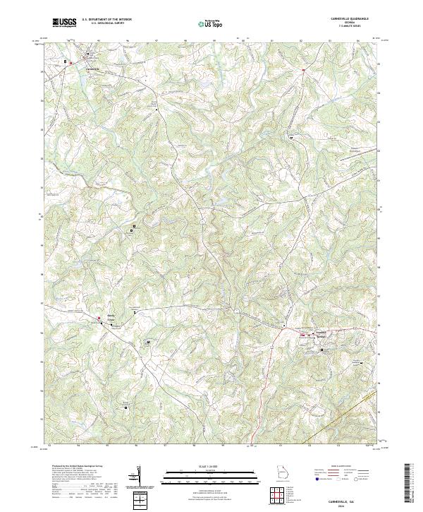 2024 Carnesville2024 Print · USGSFranklin County at the dawn of the 2020s shows a landscape of established colleges and historic county seats centered on the Broad River forks. Genealogists can trace family names through Zidon Cem, Crow Cem, and the grounds of Emmanuel College.
 - 2024 Map of Royston, 2024 Print
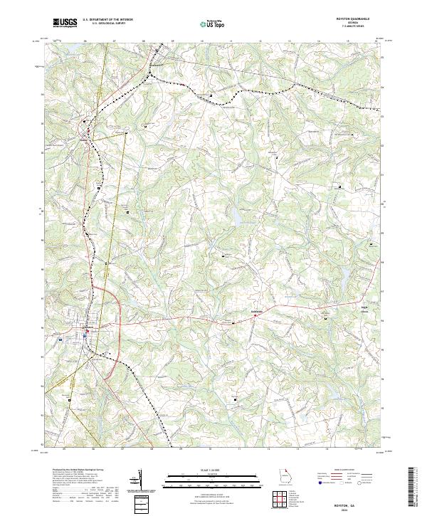 2024 Royston2024 Print · USGSThe tri-county junction of Franklin, Madison, and Hart counties comes alive in this detailed look at Royston and its neighboring rural townships. Genealogists and historians can trace family locations near Goldmine, Bowersville, and along the banks of Beaverdam Creek.
End of results
Showing maps 1-10 of 10
Top cities near Royston
- Elberton historical maps
- Hartwell historical maps
- Lavonia historical maps
- Comer historical maps
- Franklin Springs historical maps
- Bowman historical maps
See more
Frequently asked questions
- What are the different types of historical maps available for Royston?
- What is the oldest map of Royston?
- Where can I purchase historical maps of Royston for my home or office?
- Where can I download high-res historical maps of Royston?
- Are there historical topographic maps available for Royston?
- Is there historical aerial imagery available for Royston?
- Where are historical maps of Royston sourced from?