2010s Maps of Schley County, Georgia
Explore 24 historic maps of Schley County from the 2010s. These maps offer a rare glimpse into what life looked like during the 2010s — showing old roads, neighborhoods, homes, and landmarks that have changed or disappeared over time.
Whether you're researching your family's past, planning a metal detecting trip, or studying how Schley County's landscape evolved across the 2010s, these high-resolution maps are a powerful tool for exploring the history of this region.
- Focus on a specific era: All maps on this page are from the 2010s, giving you a focused view of this time period.
- See what’s changed: Compare century-old streets, trails, and buildings to today's modern landscape using overlays and satellite layers.
- Research with precision: Use these maps for genealogy, historical research, land use analysis, or educational projects.
- View, download, or print: Maps are fully viewable online in high resolution, and can be downloaded or printed for your own records.
Start exploring Schley County's history through authentic maps from the 2010s. This is your window into the past.
Schley County, GA maps
(24)- 2011 Map of Andersonville, 2011 Print
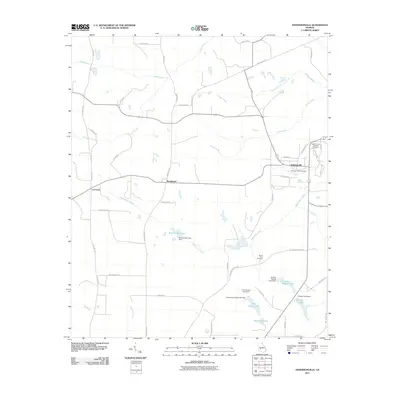 2011 Andersonville2011 Print · USGSAndersonville and the surrounding Sumter County landscape are shown in this 2011 survey, reflecting a region deeply tied to its historical landmarks. Genealogists and researchers can trace local family-named sites such as Wohlwender Lake, Mount Olive Cemetery, and the Andersonville National Cemetery.
 - 2011 Map of Ellaville South, 2011 Print
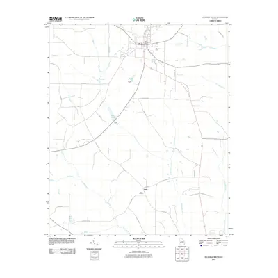 2011 Ellaville South2011 Print · USGSSchley County’s rural landscape is captured here in the early 2000s, centered on the southern outskirts of the county seat. Researchers can trace family history at Shiloh Cemetery and locate rural landmarks like the Ellaville Post Office or the Gill Strip airfield.
 - 2011 Map of Tazewell North, 2011 Print
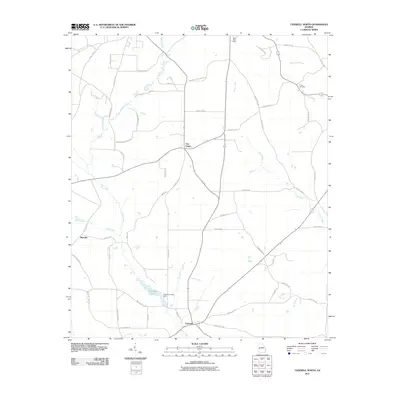 2011 Tazewell North2011 Print · USGSMarion County, Georgia, is documented here in the early twenty-first century as a landscape of small rural junctions and winding creek beds. Genealogists and local historians can trace family locations near Tazewell, Trinity Cemetery, or the historic Mauk Post Office.
 - 2011 Map of Rupert, 2011 Print
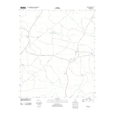 2011 Rupert2011 Print · USGSThe Taylor County interior comes into focus during the early 2000s, showing a landscape shaped by rural industry and local history. Genealogists can trace family connections at Bloodworth Cemetery and Sand Bethel Cemetery or locate the Rupert Post Office.
 - 2011 Map of Draneville, 2011 Print
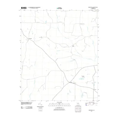 2011 Draneville2011 Print · USGSWestern Sumter County is captured here in the early twenty-first century, showing a rural landscape shaped by winding creek systems. Researchers can trace family history through the Mount Carmel and Friendship Cemetery or locate landmarks like the Ira Kelly Bridge.
 - 2011 Map of Ellaville North, 2011 Print
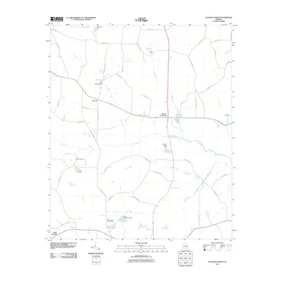 2011 Ellaville North2011 Print · USGSSchley County’s rural character is well-preserved in the early twenty-first century, showing a landscape defined by creeks and local ponds. Researchers can locate family landmarks such as Rufus Peepe Lake South and historic crossroads like Concord and Murrays Crossroads.
 - 2011 Map of Ideal South, 2011 Print
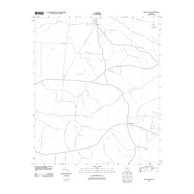 2011 Ideal South2011 Print · USGSMacon County's rural heartland is detailed in the early twenty-first century as the community of Ideal and the crossroads at Fountainville anchor the local geography. Researchers can trace family-named routes and visit sites like the English Cemetery and English Millpond.
 - 2011 Map of Tazewell South, 2011 Print
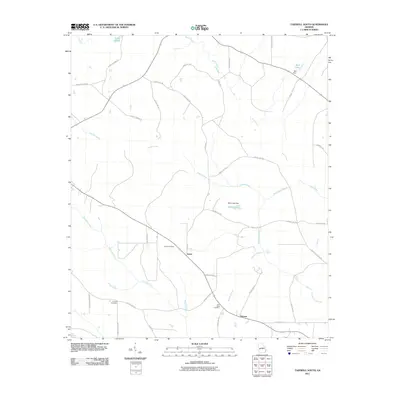 2011 Tazewell South2011 Print · USGSMarion County at the start of the 2010s reveals a quiet landscape of agricultural roots and family homesteads. Genealogists and local historians can trace the community connections between Doyle and Putnam, or locate ancestral sites at Corinth Cemetery and Doyle Cemetery.
 - 2014 Map of Draneville, 2014 Print
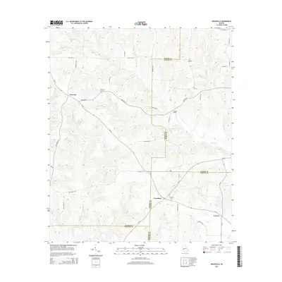 2014 Draneville2014 Print · USGSThis rural Georgia landscape at the intersection of four counties shows a deeply rooted agricultural and creek-fed community. Genealogists can trace family heritage at Frasier Smith Cem and Mt Carmel Cem or locate the old Ira Kelly Bridge over the Muckalee.
 - 2014 Map of Tazewell North, 2014 Print
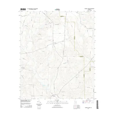 2014 Tazewell North2014 Print · USGSMarion and Taylor counties are captured here in the early twenty-first century as the traditional rural landscape remains intact. Researchers can locate family landmarks such as Trinity Cem and Tazewell, or trace the historical routes of Fort Perry Rd and Poll Mill Rd.
 - 2014 Map of Ellaville South, 2014 Print
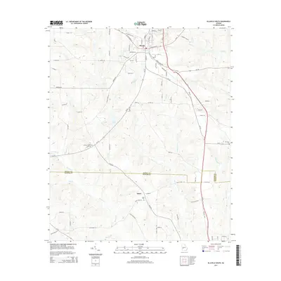 2014 Ellaville South2014 Print · USGSSchley and Sumter Counties are captured here in the early twenty-first century, showing the rural landscape south of Ellaville. Genealogists and local historians can trace family locations near Shiloh, Shiloh Cemetery, and along the banks of Muckalee Creek.
 - 2014 Map of Ideal South, 2014 Print
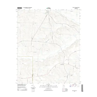 2014 Ideal South2014 Print · USGSMacon and Schley counties are shown in this modern survey of the agricultural landscape near Ideal. Genealogists can trace family footprints near English Cemetery and English Millpond, or along Buck Creek.
 - 2014 Map of Tazewell South, 2014 Print
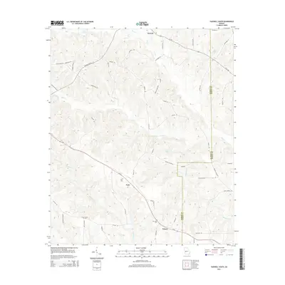 2014 Tazewell South2014 Print · USGSMarion County's rural landscape is captured here in the early twenty-first century, showing the established communities of the Georgia interior. Researchers can find generational landmarks including Corinth Cem, Doyle Cem, and the quiet crossroads of Tazewell.
 - 2014 Map of Rupert, 2014 Print
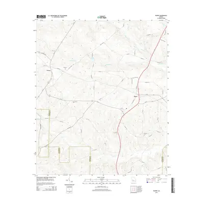 2014 Rupert2014 Print · USGSTaylor County agriculture and timber lands are well-defined in this contemporary survey of the Rupert and Charing area. Researchers can trace local family lineages through Bloodworth Cem and locate landmarks like the Beulah Lookout Tower.
 - 2014 Map of Andersonville, 2014 Print
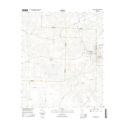 2014 Andersonville2014 Print · USGSSumter and Macon counties are documented here in the early twenty-first century, centered on the town of Andersonville. Genealogists and historians can trace family-named sites like Charles Reeves Lake and the Mt Olive Cem near the Andersonville National Historic Site.
 - 2014 Map of Ellaville North, 2014 Print
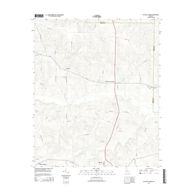 2014 Ellaville North2014 Print · USGSSchley County’s rural landscape is preserved here during the mid-2010s, showing the settled crossroads and water features north of the county seat. Genealogists and researchers can trace local landmarks like Hills Millpond, the settlement at Concord, and the waters of American Legion Lake.
 - 2017 Map of Ellaville South, 2017 Print
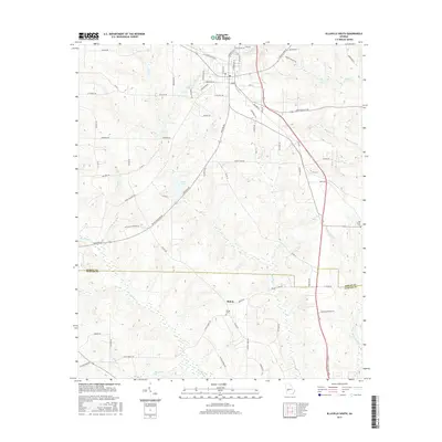 2017 Ellaville South2017 Print · USGSSchley and Sumter Counties in the late 2010s are defined by the quiet intersection of family farms and creek-fed valleys. Researchers can trace land ties along Muckalee Creek and locate ancestral sites at Shiloh Cemetery and Oak Grove Cemetery.
 - 2017 Map of Ellaville North, 2017 Print
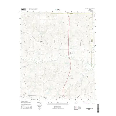 2017 Ellaville North2017 Print · USGSSchley County during the late twenty-teens reveals a landscape of established family farms and local millponds north of the county seat. Genealogists and historians can trace property boundaries and early routes near Concord, Walls Crossing, and Hills Millpond.
 - 2017 Map of Tazewell North, 2017 Print
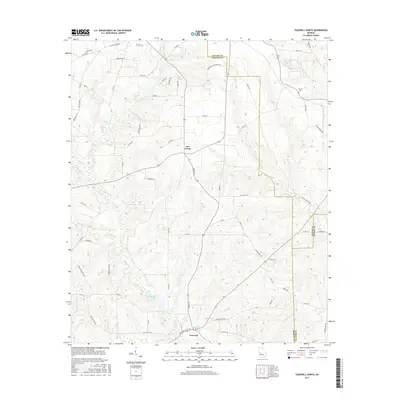 2017 Tazewell North2017 Print · USGSThe rural crossroads of Marion County are captured here in the late twenty-teens, showing a landscape of small farms and winding creeks. Researchers can locate family landmarks like Trinity Cem and trace the paths of Old Chishom Trl and Shoal Cr.
 - 2017 Map of Draneville, 2017 Print
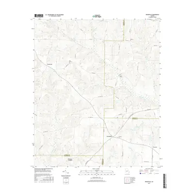 2017 Draneville2017 Print · USGSMarion and Sumter counties meet in this corner of Southwest Georgia during the late 2010s, where small rural communities remain tied to the land. Genealogists can locate family landmarks like Frasier-Smith Cem, Ira Kelly Bridge, and the settlement of Draneville.
 - 2017 Map of Rupert, 2017 Print
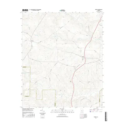 2017 Rupert2017 Print · USGSTaylor and Schley counties are shown here in the late twenty-teens as a landscape of established rural settlements and family homesteads. Genealogists can locate family burial sites like Bloodworth Cem and trace old routes along Whitewater Cr or the Americus Hwy.
 - 2017 Map of Tazewell South, 2017 Print
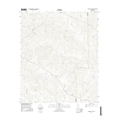 2017 Tazewell South2017 Print · USGSMarion and Schley Counties are captured here in the late twenty-tens, showing a rural landscape defined by creek headwaters and small farming communities. Genealogists and local historians can locate several family burial grounds, including Doyle Cem, Corinth Cem, and New Hope Cem.
 - 2017 Map of Andersonville, 2017 Print
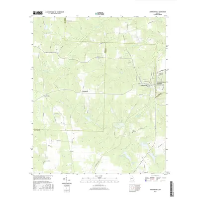 2017 Andersonville2017 Print · USGSAndersonville and the surrounding Georgia countryside are captured here in the early twenty-first century. Genealogists and historians can trace the grounds of the Andersonville National Historic Site and locate rural landmarks like Mount Olive Cem or the Sweetwater Mineral Springs.
 - 2017 Map of Ideal South, 2017 Print
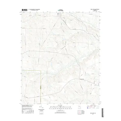 2017 Ideal South2017 Print · USGSMacon and Schley County farmlands are captured here in the late twenty-tens, showing a landscape defined by creek branches and family-named roads. Researchers can locate the English Cem, Travelers Home Church, and the waters of English Millpond.
End of results
Showing maps 1-24 of 24
Top cities of Schley County
Frequently asked questions
- What are the different types of historical maps available for Schley County?
- What is the oldest map of Schley County?
- Where can I purchase historical maps of Schley County for my home or office?
- Where can I download high-res historical maps of Schley County?
- Are there historical topographic maps available for Schley County?
- Is there historical aerial imagery available for Schley County?
- Where are historical maps of Schley County sourced from?