2000s (21st Century) Maps of Ellaville, Georgia
Explore 10 historic maps of Ellaville from the 2000s (21st Century). These maps offer a rare glimpse into what life looked like during the 2000s — showing old roads, neighborhoods, homes, and landmarks that have changed or disappeared over time.
Whether you're researching your family's past, planning a metal detecting trip, or studying how Ellaville's landscape evolved across the 2000s, these high-resolution maps are a powerful tool for exploring the history of this region.
- Focus on a specific era: All maps on this page are from the 2000s, giving you a focused view of this time period.
- See what’s changed: Compare century-old streets, trails, and buildings to today's modern landscape using overlays and satellite layers.
- Research with precision: Use these maps for genealogy, historical research, land use analysis, or educational projects.
- View, download, or print: Maps are fully viewable online in high resolution, and can be downloaded or printed for your own records.
Start exploring Ellaville's history through authentic maps from the 2000s. This is your window into the past.
Ellaville, GA maps
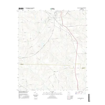
(10)- 2011 Map of Ellaville South, 2011 Print
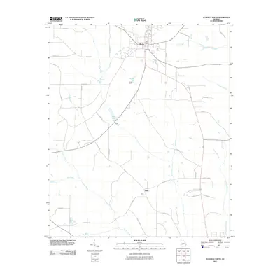 2011 Ellaville South2011 Print · USGSCovers Ellaville, including Shiloh, Sumter County, and other nearby areas
 - 2011 Map of Ellaville North, 2011 Print
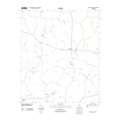 2011 Ellaville North2011 Print · USGSCovers Ellaville, including Concord, Murrays Crossroads, and other nearby areas
 - 2014 Map of Ellaville South, 2014 Print
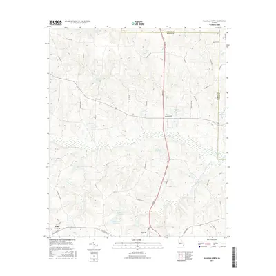
 2014 Ellaville South2014 Print · USGSCovers Ellaville, including Shiloh, Sumter County, and other nearby areas
 - 2014 Map of Ellaville North, 2014 Print
 2014 Ellaville North2014 Print · USGSCovers Ellaville, including Concord, Murrays Crossroads, and other nearby areas
 - 2017 Map of Ellaville South, 2017 Print
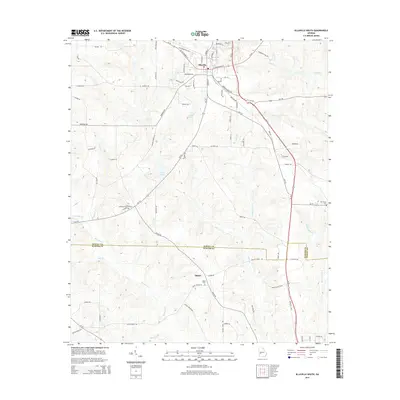
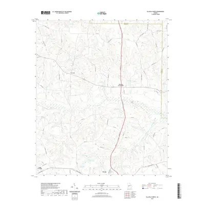
 2017 Ellaville South2017 Print · USGSCovers Ellaville, including Shiloh, Sumter County, and other nearby areas
 - 2017 Map of Ellaville North, 2017 Print
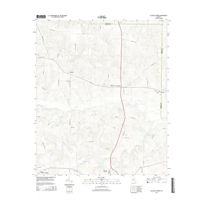
 2017 Ellaville North2017 Print · USGSCovers Ellaville, including Concord, Murrays Crossroads, and other nearby areas
 - 2020 Map of Ellaville North, 2020 Print
 2020 Ellaville North2020 Print · USGSCovers Ellaville, including Concord, Murrays Crossroads, and other nearby areas
 - 2020 Map of Ellaville South, 2020 Print
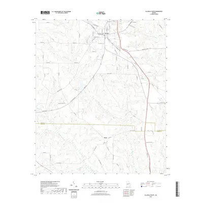 2020 Ellaville South2020 Print · USGSCovers Ellaville, including Shiloh, Sumter County, and other nearby areas
 - 2024 Map of Ellaville North, 2024 Print
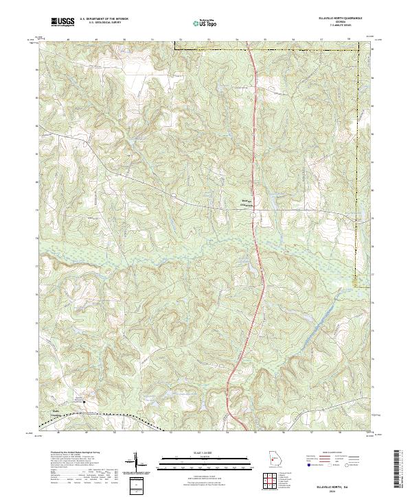 2024 Ellaville North2024 Print · USGSSchley County's rural crossroads and millponds are captured here in the modern era. Researchers can trace family-named landmarks and local sites like Murrays Crossroads, Hills Millpond, and the Hopewell Methodist Church Cem.
 - 2024 Map of Ellaville South, 2024 Print
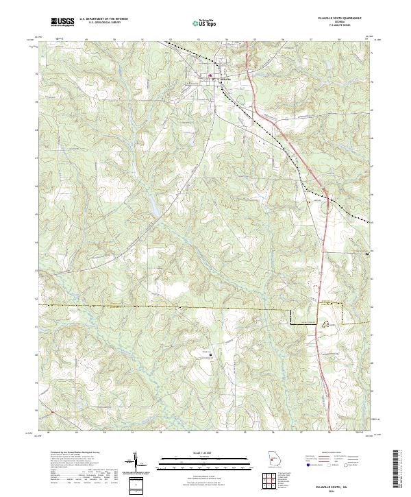 2024 Ellaville South2024 Print · USGSSchley and Sumter counties come together in this rural Georgia landscape during the early twenty-first century. Researchers can trace the path of Muckalee Creek while locating family landmarks like Shiloh Cem and the Schley County Courthouse.
End of results
Showing maps 1-10 of 10
Top cities near Ellaville
- Americus historical maps
- Buena Vista historical maps
- Plains historical maps
- Preston historical maps
- Ideal historical maps
- Andersonville historical maps
Frequently asked questions
- What are the different types of historical maps available for Ellaville?
- What is the oldest map of Ellaville?
- Where can I purchase historical maps of Ellaville for my home or office?
- Where can I download high-res historical maps of Ellaville?
- Are there historical topographic maps available for Ellaville?
- Is there historical aerial imagery available for Ellaville?
- Where are historical maps of Ellaville sourced from?