2000s (21st Century) Maps of Newington, Georgia
Explore 10 historic maps of Newington from the 2000s (21st Century). These maps offer a rare glimpse into what life looked like during the 2000s — showing old roads, neighborhoods, homes, and landmarks that have changed or disappeared over time.
Whether you're researching your family's past, planning a metal detecting trip, or studying how Newington's landscape evolved across the 2000s, these high-resolution maps are a powerful tool for exploring the history of this region.
- Focus on a specific era: All maps on this page are from the 2000s, giving you a focused view of this time period.
- See what’s changed: Compare century-old streets, trails, and buildings to today's modern landscape using overlays and satellite layers.
- Research with precision: Use these maps for genealogy, historical research, land use analysis, or educational projects.
- View, download, or print: Maps are fully viewable online in high resolution, and can be downloaded or printed for your own records.
Start exploring Newington's history through authentic maps from the 2000s. This is your window into the past.
Newington, GA maps
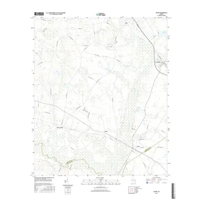
(10)- 2011 Map of Oliver, 2011 Print
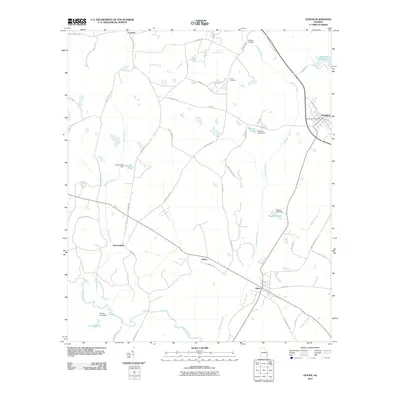 2011 Oliver2011 Print · USGSCovers Newington, including Oliver, Halcyondale, and other nearby areas
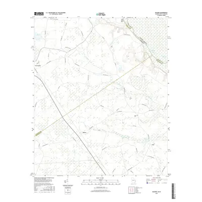
 - 2011 Map of Kildare, 2011 Print
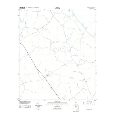 2011 Kildare2011 Print · USGSCovers Newington, including Kildare, Oaky, and other nearby areas
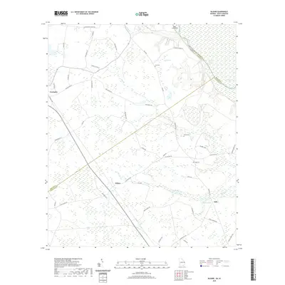
 - 2014 Map of Kildare, 2014 Print
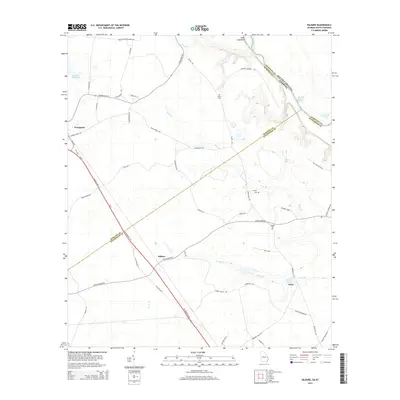 2014 Kildare2014 Print · USGSCovers Newington, including Kildare, Oaky, and other nearby areas
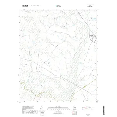
 - 2014 Map of Oliver, 2014 Print
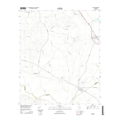 2014 Oliver2014 Print · USGSCovers Newington, including Oliver, Halcyondale, and other nearby areas
 - 2017 Map of Oliver, 2017 Print
 2017 Oliver2017 Print · USGSCovers Newington, including Oliver, Halcyondale, and other nearby areas
 - 2017 Map of Kildare, 2017 Print
 2017 Kildare2017 Print · USGSCovers Newington, including Kildare, Oaky, and other nearby areas
 - 2020 Map of Kildare, 2020 Print
 2020 Kildare2020 Print · USGSCovers Newington, including Kildare, Oaky, and other nearby areas
 - 2020 Map of Oliver, 2020 Print
 2020 Oliver2020 Print · USGSCovers Newington, including Oliver, Halcyondale, and other nearby areas
 - 2024 Map of Kildare, 2024 Print
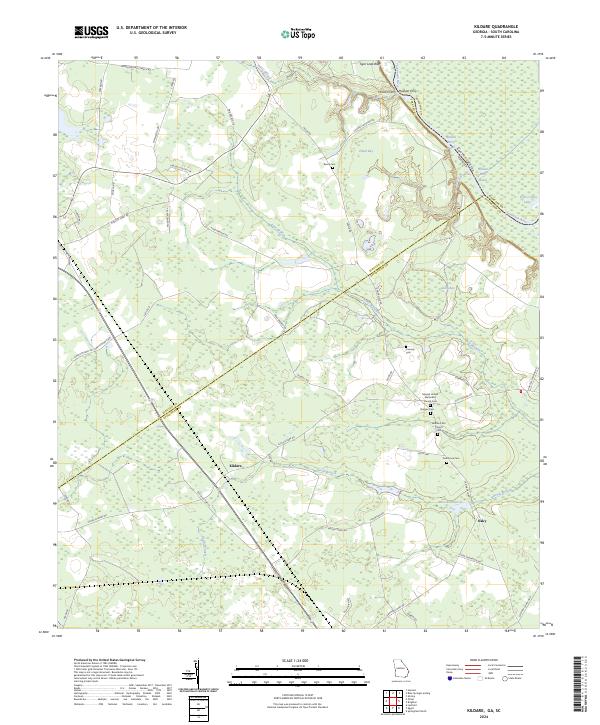 2024 Kildare2024 Print · USGSCoastal plain wetlands and small rural settlements define the Effingham County landscape in recent years. Genealogists can trace family histories through numerous local burial grounds, including Dugger Cem, Oak Grove Cem, and Eneck Cem.
 - 2024 Map of Oliver, 2024 Print
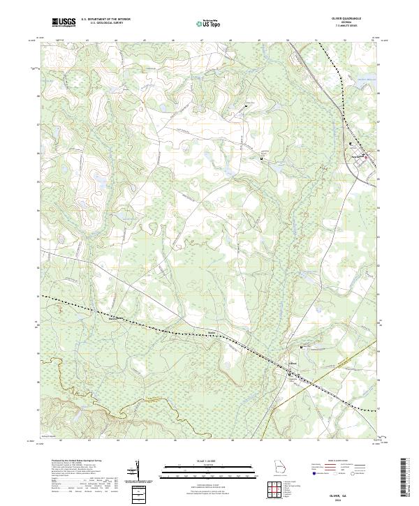 2024 Oliver2024 Print · USGSCoastal plain settlements like Newington and Oliver anchor this part of Georgia near the Bulloch and Effingham county lines. Researchers can locate family landmarks such as Little Ogeechee Cem or trace the course of the Ogeechee River.
End of results
Showing maps 1-10 of 10
Top cities near Newington
Frequently asked questions
- What are the different types of historical maps available for Newington?
- What is the oldest map of Newington?
- Where can I purchase historical maps of Newington for my home or office?
- Where can I download high-res historical maps of Newington?
- Are there historical topographic maps available for Newington?
- Is there historical aerial imagery available for Newington?
- Where are historical maps of Newington sourced from?