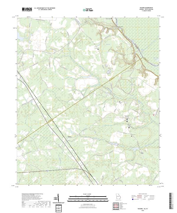
2024 Map of Kildare
USGS Topo · Published 2024About this map
The Savannah River defines the northeastern boundary of this Georgia and South Carolina borderland, where the Hudson Ferry Reach and Tiger Leap Bluff overlook the winding water. The landscape is a network of low-lying wetlands and drainage systems, including Eneck Bay, Green Bay, and Devils Branch. Central to the map is the settlement of Kildare, situated along the Old Dixie Hwy N. The density of rural burial sites and places of worship, such as Mizpah United Methodist Church Cem and Bethel A M E Church Cem, suggests a long-established community structure. Large tracts of land, like the Farm Service Agency Interest of Georgia, indicate significant state-managed acreage within this coastal plain environment. Further south, the small settlement of Oaky sits near the headwaters of Devils Branch, connected by a web of local routes including Ardmore Oaky Rd and Clyo-Kildare Rd.
Find a feature on this map
58 named features on this map. Tap any name to fly to it.
Don’t see what you’re looking for? This feature index may not catch every label — zoom into the map to look around manually.
Map Details
Editions of this 2024 Kildare Map
This is the sole edition of this map. No revisions or reprints were ever made.
Other maps of this area

1918 · Oliver
USGS Topo · 1:62,500

1919 · Shirley
USGS Topo · 1:62,500

1919 · Egypt
USGS Topo · 1:62,500

1920 · Oliver
USGS Topo · 1:62,500

1921 · Brooklet
USGS Topo · 1:62,500

1939 · Egypt
USGS Topo · 1:62,500

1943 · Brooklet
USGS Topo · 1:62,500

1943 · Egypt
USGS Topo · 1:62,500

1943 · Shirley
USGS Topo · 1:62,500

1943 · Millen
USGS Topo · 1:125,000