Old Maps of Donalsonville, Georgia for Academic Research
Study the evolution of Donalsonville with 16 high-resolution historic maps. Whether you're teaching, researching, or modeling changes in land use, these maps provide essential visual documentation of urban, environmental, and geographic change.
- Analyze long-term change: Track patterns in development, transportation, and natural features.
- Ideal for environmental or urban studies: Support academic projects with primary historical map data.
- Use in the classroom or lab: Educators and researchers rely on these maps to bring historical context to life.
These maps are a powerful tool for teaching, research, and visualizing how Donalsonville has changed over the decades.
Donalsonville, GA maps
(16)- 1953 Map of Dothan, 1966 Print
 1953 Dothan1966 Print · USGSSoutheast Alabama and Southwest Georgia are captured during a period of massive hydraulic and military expansion in the mid-fifties. Genealogists and historians can trace rural landmarks like Antioch Church and School, the Andrew Jackson Monument, and the early footprint of Fort Rucker Military Reservation.3 unique versions available
 - 1954 Map of Dothan
 1954 Dothan1954 Print · USGSSoutheast Alabama and Southwest Georgia are seen here in the mid-fifties, during a decade of military expansion and rural transition. Genealogists can trace the location of country schools like Little Zion School or the grounds of Kolomoki Mounds State Park.
 - 1955 Map of Dothan
 1955 Dothan1955 Print · USGSSoutheast Alabama and Southwest Georgia are captured here in the mid-fifties, showing a landscape of river-port history and growing military bases. Researchers can trace rural life via the Andrew Jackson Monument, Bauxite mines, and the Central of Georgia RR.
 - 1974 Map of Donalsonville East, 1976 Print
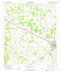
 1974 Donalsonville East1976 Print · USGSSeminole County was a landscape of quiet agricultural hamlets and rail-side settlements in the mid-seventies. Genealogists can trace family landmarks like Friendship Cem and Miller Cems, or locate rural congregations at Corinth Ch and New Home Ch.
 - 1974 Map of Donalsonville West, 1976 Print
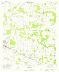
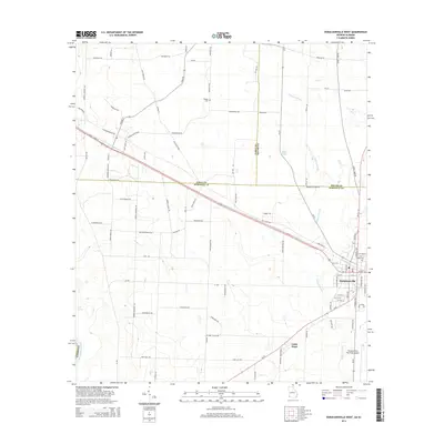
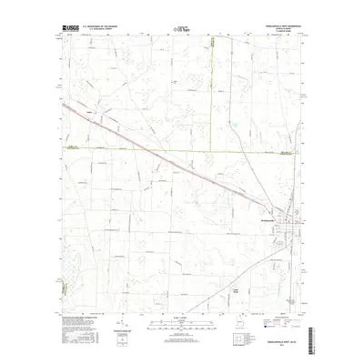
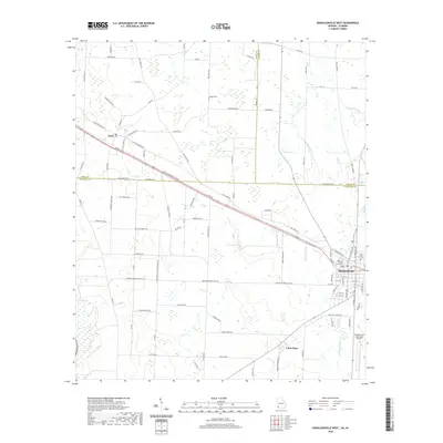
 1974 Donalsonville West1976 Print · USGSDonalsonville and Jakin appear at a mid-seventies crossroads of rail and river commerce along the Seminole and Early county lines. Researchers can trace rural community life through numerous landmarks like Newberry Ch, the Seaboard Coast Line tracks, and Little Hope.
 - 1981 Map of Camilla, 1982 Print
 1981 Camilla1982 Print · USGSSouthwest Georgia in the early 1980s is defined by the winding Flint River and the ancient legacy of Kolomoki Mounds State Park. Researchers can trace the agricultural and rail economy through junctions like Blakely, Pelham, and the rail lines of the Central of Georgia.2 unique versions available
 - 2011 Map of Donalsonville West, 2011 Print
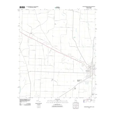 2011 Donalsonville West2011 Print · USGSCovers Donalsonville, including Jakin, Little Hope, and other nearby areas
 - 2011 Map of Donalsonville East, 2011 Print
 2011 Donalsonville East2011 Print · USGSCovers Donalsonville, including Iron City, Enterprise, and other nearby areas
 - 2014 Map of Donalsonville West, 2014 Print
 2014 Donalsonville West2014 Print · USGSCovers Donalsonville, including Jakin, Little Hope, and other nearby areas
 - 2014 Map of Donalsonville East, 2014 Print
 2014 Donalsonville East2014 Print · USGSCovers Donalsonville, including Iron City, Enterprise, and other nearby areas
 - 2017 Map of Donalsonville West, 2017 Print
 2017 Donalsonville West2017 Print · USGSCovers Donalsonville, including Jakin, Little Hope, and other nearby areas
 - 2017 Map of Donalsonville East, 2017 Print
 2017 Donalsonville East2017 Print · USGSCovers Donalsonville, including Iron City, Enterprise, and other nearby areas
 - 2020 Map of Donalsonville East, 2020 Print
 2020 Donalsonville East2020 Print · USGSCovers Donalsonville, including Iron City, Enterprise, and other nearby areas
 - 2020 Map of Donalsonville West, 2020 Print
 2020 Donalsonville West2020 Print · USGSCovers Donalsonville, including Jakin, Little Hope, and other nearby areas
 - 2024 Map of Donalsonville West, 2024 Print
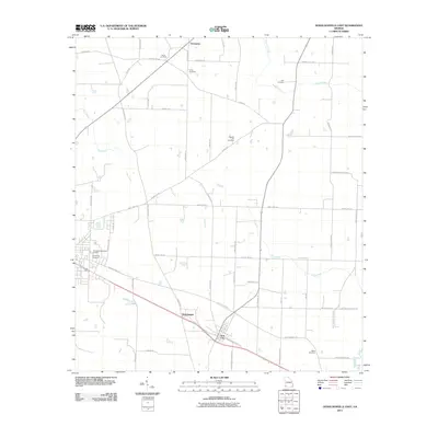
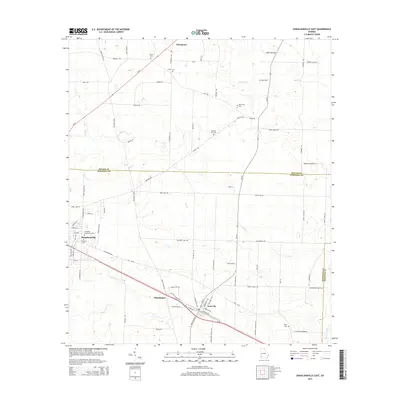
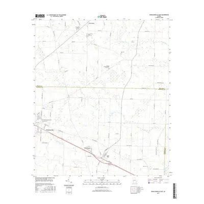
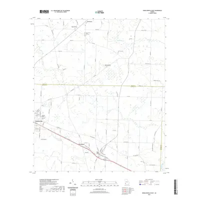
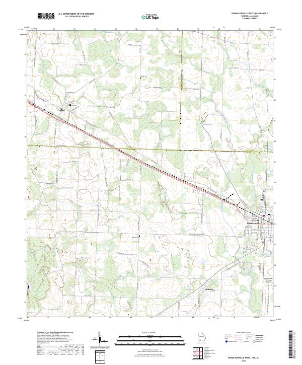 2024 Donalsonville West2024 Print · USGSDonalsonville and Jakin represent the primary centers of commerce and community in Southwest Georgia during the early twenty-first century. Genealogists and researchers can locate family sites at City Cem and Oakview Cem or trace the rural routes leading to Little Hope.
 - 2024 Map of Donalsonville East, 2024 Print
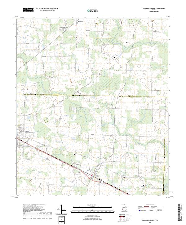 2024 Donalsonville East2024 Print · USGSSouthwest Georgia's rural character is preserved in this contemporary survey of Seminole and Miller counties. Genealogists can trace family landmarks like Friendship Memorial Gardens Cem, New Home Cem, and the quiet settlement of Sharphagen.
End of results
Showing maps 1-16 of 16
Top cities near Donalsonville
- Colquitt historical maps
- Iron City historical maps
- Gordon historical maps
- Brinson historical maps
- Jakin historical maps
Frequently asked questions
- What are the different types of historical maps available for Donalsonville?
- What is the oldest map of Donalsonville?
- Where can I purchase historical maps of Donalsonville for my home or office?
- Where can I download high-res historical maps of Donalsonville?
- Are there historical topographic maps available for Donalsonville?
- Is there historical aerial imagery available for Donalsonville?
- Where are historical maps of Donalsonville sourced from?