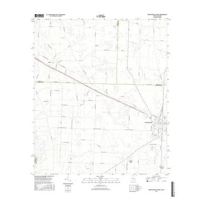
2017 Map of Donalsonville West
USGS Topo · Published 2017About this map
Donalsonville and the smaller settlement of Jakin serve as the primary hubs in this corner of Seminole County, where agricultural lands are divided by a network of rural roads often named for local families. The landscape is defined by its subtle drainage patterns, such as Fishpond Drain and Dry Cr, which wind through the low-lying terrain. To the south, the community of Little Hope sits near the Donalsonville Municipal Airport, reflecting the region's continued integration of aviation and agriculture. Genealogists can find significant local history at Live Oak Cem and Hodges Cem, or by tracing family-named thoroughfares like Jessie Mitchell Rd and Roscoe DuPriest Rd. The map also captures the meeting point of several county boundaries, including the lines for Miller and Early counties, illustrating the jurisdictional edges of southwest Georgia.
Find a feature on this map
97 named features on this map. Tap any name to fly to it.
Don’t see what you’re looking for? This feature index may not catch every label — zoom into the map to look around manually.
Map Details
Editions of this 2017 Donalsonville West Map
This is the sole edition of this map. No revisions or reprints were ever made.
Other maps of this area

1952 · Bascom
USGS Topo · 1:24,000

1953 · Dothan
USGS Topo · 1:250,000

1954 · Dothan
USGS Topo · 1:250,000

1954 · Steam Mill
USGS Topo · 1:24,000

1954 · Desser
USGS Topo · 1:24,000

1954 · Tallahassee
USGS Topo · 1:250,000

1955 · Dothan
USGS Topo · 1:250,000

1959 · Tallahassee
USGS Topo · 1:250,000

1960 · Tallahassee
USGS Topo · 1:250,000

1970 · Gordon
USGS Topo · 1:24,000