
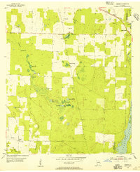
1954 Map of Desser
USGS Topo · Published 1955About this map
Low-lying cypress ponds and scattered family settlements define this 1954 landscape along the boundary of Seminole and Decatur Counties. The community of Rock Pond Courthouse and the nearby Rock Pond Sch serve as local landmarks in an area dominated by an intricate drainage system, including Fishpond Drain and a series of named water bodies like Goose Lake and Cypress Lake. The topography is marked by distinct depressions and "water gaps," most notably Sykes Water Gap, which reflects the unique karst-like hydrology of Southwest Georgia.
Find a feature on this map
30 named features on this map. Tap any name to fly to it.
Don’t see what you’re looking for? This feature index may not catch every label — zoom into the map to look around manually.
Map Details
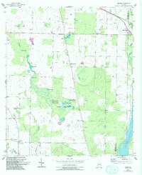
Editions of this 1954 Desser Map
3 editions found
Other maps of this area

1953 · Dothan
USGS Topo · 1:250,000

1954 · Dothan
USGS Topo · 1:250,000

1954 · Steam Mill
USGS Topo · 1:24,000

1954 · Tallahassee
USGS Topo · 1:250,000

1955 · Dothan
USGS Topo · 1:250,000

1955 · Fairchild
USGS Topo · 1:24,000

1955 · Reynoldsville
USGS Topo · 1:24,000

1955 · Bainbridge
USGS Topo · 1:62,500

1959 · Tallahassee
USGS Topo · 1:250,000

1960 · Tallahassee
USGS Topo · 1:250,000