
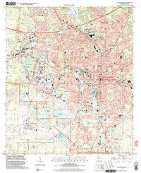
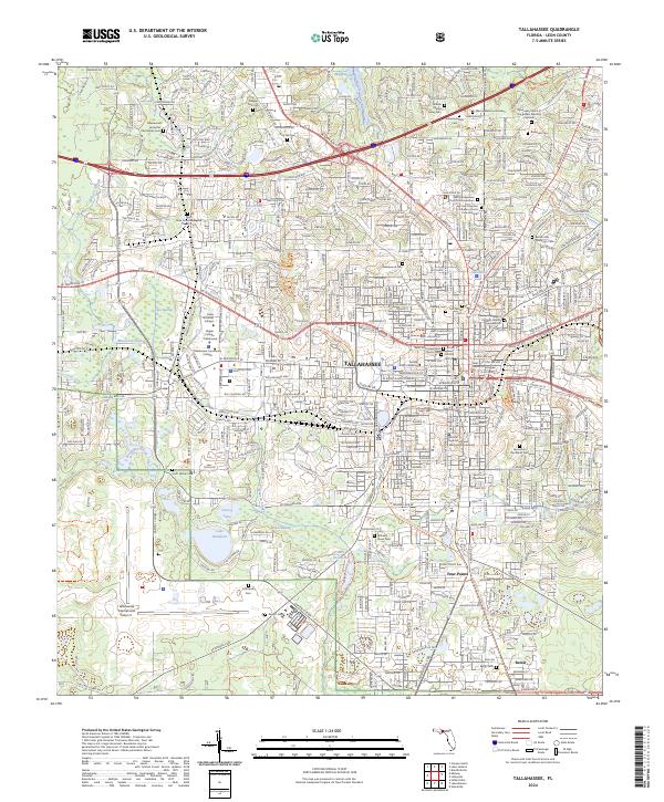
1959 Map of Tallahassee
USGS Topo · Published 1959About this map
The confluence of the Chattahoochee River and Flint River forms the headwaters of the Apalachicola River, a central corridor for this 1950s-era landscape. The creation of Lake Seminole at the tri-state junction of Florida, Georgia, and Alabama marks a major hydrological change in the region. To the south, the Apalachicola National Forest and St Marks National Wildlife Refuge preserve vast stretches of the Panhandle's wetland and forest ecosystems, anchored by the coastal St Marks Lighthouse.
Find a feature on this map
125 named features on this map. Tap any name to fly to it.
Don’t see what you’re looking for? This feature index may not catch every label — zoom into the map to look around manually.
Map Details
Editions of this 1959 Tallahassee Map
This is the sole edition of this map. No revisions or reprints were ever made.
Historical Maps of Tallahassee Through Time
15 maps found
1940 Tallahassee
Leon County, FL

1942 Tallahassee
Leon County, FL
1943 Tallahassee
Leon County, FL
1954 Tallahassee
Leon County, FL
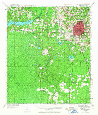
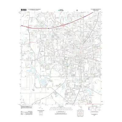
1959 Tallahassee
Leon County, FL

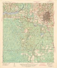
1960 Tallahassee
Leon County, FL
1970 Tallahassee
Leon County, FL

1979 Tallahassee
Leon County, FL

1988 Tallahassee
Leon County, FL
1999 Tallahassee
Leon County, FL
2012 Tallahassee
Leon County, FL

2015 Tallahassee
Leon County, FL
2018 Tallahassee
Leon County, FL
2021 Tallahassee
Leon County, FL
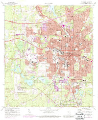
2024 Tallahassee
Leon County, FL