
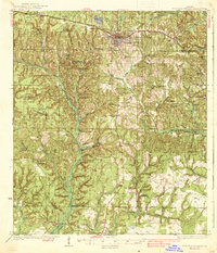
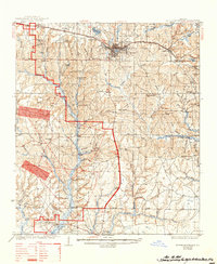
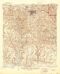
1938 Map of De Funiak Springs
USGS Topo · Published 1938About this map
De Funiak Springs serves as the primary hub of this Walton County landscape, where the Louisville and Nashville RR follows the route of the Old Spanish Trail across northern Florida. The 1930s terrain is defined by a dense network of creek systems, including Alaqua Creek and Bruce Creek, which supported early industrial sites like Lossing Mill and Sowells Mill Pond. This survey captures a rural social geography marked by numerous one-room schoolhouses such as Arcadia Sch and Albert Temple Sch, alongside remote community centers like Gillie Chapel and Macedonia. The southern portion of the map transitions toward the coast through the Choctawhatchee Nat For, reaching the settlements of Freeport and Portland near the head of the bay system. The inclusion of the Tallahassee Base Line across the southern townships provides a rare glimpse into the fundamental surveying framework of the Florida Panhandle.
Find a feature on this map
68 named features on this map. Tap any name to fly to it.
Don’t see what you’re looking for? This feature index may not catch every label — zoom into the map to look around manually.
Map Details
Editions of this 1938 De Funiak Springs Map
4 editions found
Other maps of this area

1934 · Niceville
USGS Topo · 1:48,000

1935 · Villa Tasso
USGS Topo · 1:48,000

1935 · De Funiak Springs
USGS Topo · 1:48,000

1936 · Niceville
USGS Topo · 1:62,500

1936 · Point Washington
USGS Topo · 1:48,000

1938 · Villa Tasso
USGS Topo · 1:62,500

1939 · Point Washington
USGS Topo · 1:62,500

1944 · Bruce
USGS Topo · 1:24,000

1945 · Bruce
USGS Topo · 1:31,680

1948 · Ponce De Leon
USGS Topo · 1:24,000