
1936 Map of Niceville
USGS Topo · Published 1936About this map
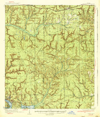
Louisville and Mossy Head sit along the northern rail and road corridor of this mid-1930s survey, marking a distinct contrast to the developing coastal areas of Niceville and Valparaiso to the south. The landscape is defined by an intricate network of waterways including Titi Creek, Rocky Creek, and the East Fork Shoal River, which carve through the terrain south of the Tallahassee Base Line. Evidence of early 20th-century forest management and fire prevention is visible through a series of stations, including the Ramer Lookout Tower and Windham Lookout Tower.
Find a feature on this map
78 named features on this map. Tap any name to fly to it.
Don’t see what you’re looking for? This feature index may not catch every label — zoom into the map to look around manually.
Map Details
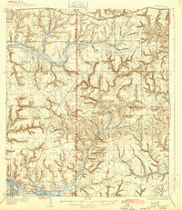
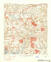
Editions of this 1936 Niceville Map
4 editions found
Other maps of this area

1934 · Holt
USGS Topo · 1:48,000

1934 · Niceville
USGS Topo · 1:48,000

1935 · Villa Tasso
USGS Topo · 1:48,000

1935 · De Funiak Springs
USGS Topo · 1:48,000

1936 · Point Washington
USGS Topo · 1:48,000

1937 · Holt
USGS Topo · 1:62,500

1938 · Mary Esther
USGS Topo · 1:62,500

1938 · Villa Tasso
USGS Topo · 1:62,500

1938 · De Funiak Springs
USGS Topo · 1:62,500

1939 · Point Washington
USGS Topo · 1:62,500