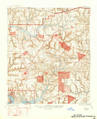
1936 Map of Niceville
USGS Topo · Published 1944About this map
Niceville and Valparaiso occupy the southern edge of this mid-1930s landscape, serving as established hubs just as the region began its transformation into a major military aviation center. The map documents the early infrastructure of the future Eglin Air Force Base, featuring several landing fields including Eglin Pierce Airdrome, Eglin Wagner Airdrome, and Eglin Baldsieren Airdrome. This transitional period shows a landscape still defined by its natural drainage and timber legacy, evidenced by the Base sawmill and the numerous "heads" and branches like Cawthon Branch and Dogwood Head. Strategic elevation is marked by several fire towers, including the Ramer Lookout Tower and Windham Lookout Tower, while the historic Spanish Trail cuts across the northern section near Deerland and Mossy Head, highlighting the area's long-standing role as a corridor for travel across the Florida Panhandle.
Find a feature on this map
64 named features on this map. Tap any name to fly to it.
Don’t see what you’re looking for? This feature index may not catch every label — zoom into the map to look around manually.
Map Details
Editions of this 1936 Niceville Map
4 editions found
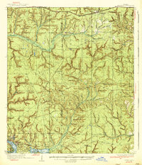
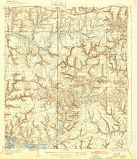
Other maps of this area

1934 · Holt
USGS Topo · 1:48,000

1934 · Niceville
USGS Topo · 1:48,000

1935 · Villa Tasso
USGS Topo · 1:48,000

1935 · De Funiak Springs
USGS Topo · 1:48,000

1936 · Niceville
USGS Topo · 1:62,500

1936 · Point Washington
USGS Topo · 1:48,000

1937 · Holt
USGS Topo · 1:62,500

1938 · Mary Esther
USGS Topo · 1:62,500

1938 · Villa Tasso
USGS Topo · 1:62,500

1938 · De Funiak Springs
USGS Topo · 1:62,500