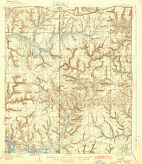
1936 Map of Niceville
USGS Topo · Published 1944About this map
The coastal settlements of Niceville and Valparaiso anchor the southern reaches of this mid-1930s survey, situated along the complex fingers of Boggy Bayou, Rocky Bayou, and Bolton Bayou. Moving inland, the landscape is defined by the heavy drainage patterns of Alaqua Creek and the Yellow River, interspersed with named ridges such as Spicer Mountain. The Tallahassee Base Line bisects the territory, providing a surveyor's anchor for a region transitioning from tidal bayous to upland pine forests.
Find a feature on this map
47 named features on this map. Tap any name to fly to it.
Don’t see what you’re looking for? This feature index may not catch every label — zoom into the map to look around manually.
Map Details
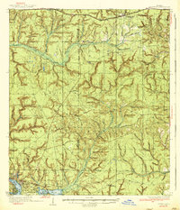
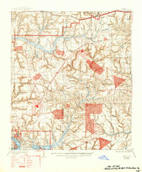
Editions of this 1936 Niceville Map
4 editions found
Other maps of this area

1934 · Holt
USGS Topo · 1:48,000

1934 · Niceville
USGS Topo · 1:48,000

1935 · Villa Tasso
USGS Topo · 1:48,000

1935 · De Funiak Springs
USGS Topo · 1:48,000

1936 · Niceville
USGS Topo · 1:62,500

1936 · Point Washington
USGS Topo · 1:48,000

1937 · Holt
USGS Topo · 1:62,500

1938 · Mary Esther
USGS Topo · 1:62,500

1938 · Villa Tasso
USGS Topo · 1:62,500

1938 · De Funiak Springs
USGS Topo · 1:62,500