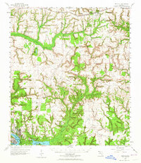
1956 Map of Niceville
USGS Topo · Published 1964About this map
Niceville and Valparaiso occupy the southwestern corner of this coastal Florida landscape, where the waters of Rocky Bayou and Boggy Bayou define the local geography. Much of the interior is dominated by the Eglin Air Force Base and the U S Government Reservation, a vast military footprint that shaped the region's development during the mid-20th century. Aviation infrastructure is prominent, including auxiliary sites like Wagner Field and Baldsiefen Field.
Find a feature on this map
82 named features on this map. Tap any name to fly to it.
Don’t see what you’re looking for? This feature index may not catch every label — zoom into the map to look around manually.
Map Details
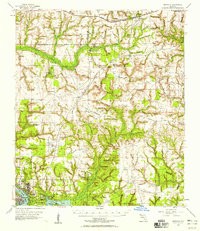
Editions of this 1956 Niceville Map
3 editions found

Other maps of this area

1934 · Holt
USGS Topo · 1:48,000

1934 · Niceville
USGS Topo · 1:48,000

1935 · Villa Tasso
USGS Topo · 1:48,000

1935 · De Funiak Springs
USGS Topo · 1:48,000

1936 · Niceville
USGS Topo · 1:62,500

1936 · Point Washington
USGS Topo · 1:48,000

1937 · Holt
USGS Topo · 1:62,500

1938 · Mary Esther
USGS Topo · 1:62,500

1938 · Villa Tasso
USGS Topo · 1:62,500

1938 · De Funiak Springs
USGS Topo · 1:62,500