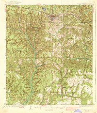
1938 Map of De Funiak Springs
USGS Topo · Published 1938About this map
De Funiak Springs serves as the hub of this Northwest Florida landscape during the mid-1930s, defined by its perfectly circular lake and the convergence of the Louisville and Nashville Railroad and the Old Spanish Trail. The town's grid expands outward toward the Magnolia Cem and the De Funiak Country Club, while the surrounding countryside is a network of small schoolhouses and churches that anchored rural life.
Find a feature on this map
57 named features on this map. Tap any name to fly to it.
Don’t see what you’re looking for? This feature index may not catch every label — zoom into the map to look around manually.
Map Details
Editions of this 1938 De Funiak Springs Map
4 editions found
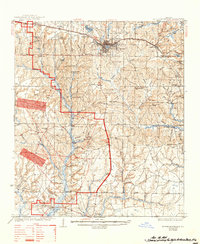
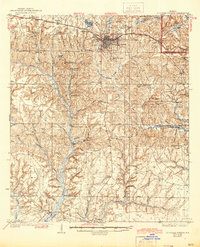
Other maps of this area

1934 · Niceville
USGS Topo · 1:48,000

1935 · Villa Tasso
USGS Topo · 1:48,000

1935 · De Funiak Springs
USGS Topo · 1:48,000

1936 · Niceville
USGS Topo · 1:62,500

1936 · Point Washington
USGS Topo · 1:48,000

1938 · Villa Tasso
USGS Topo · 1:62,500

1938 · De Funiak Springs
USGS Topo · 1:62,500

1939 · Point Washington
USGS Topo · 1:62,500

1944 · Bruce
USGS Topo · 1:24,000

1945 · Bruce
USGS Topo · 1:31,680