
1945 Map of Bruce
USGS Topo · Published 1945About this map
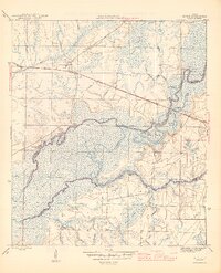
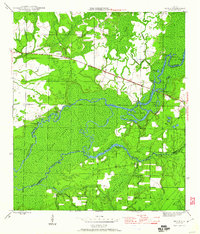
The Choctawhatchee River and East River dominate this 1945 survey of the Florida Panhandle, defining a labyrinthine landscape of seasonal wetlands and river islands. The map details a period when river access remained vital for local industry and transport, evidenced by numerous riverfront sites like Miller Landing and Cedar Tree Landing. Along the eastern edge, the Pine Log State Forest establishes a protected timberland corridor, while the settlement of Ebro and its Ebro Sch serve as the primary upland community. Numerous specialized camps, including Reddick Camp and Nobleknob Camp, are scattered throughout the lowlands, likely supporting the logging or fishing activities of the era. The presence of the Cowford Ferry and the Base Line survey marker highlights the historical infrastructure used to navigate and measure this complex terrain of the Dismal Swamp and Titi Swamp.
Find a feature on this map
36 named features on this map. Tap any name to fly to it.
Don’t see what you’re looking for? This feature index may not catch every label — zoom into the map to look around manually.
Map Details
Editions of this 1945 Bruce Map
3 editions found
Other maps of this area

1935 · De Funiak Springs
USGS Topo · 1:48,000

1936 · Point Washington
USGS Topo · 1:48,000

1938 · De Funiak Springs
USGS Topo · 1:62,500

1939 · Point Washington
USGS Topo · 1:62,500

1943 · Seminole Hills
USGS Topo · 1:24,000

1943 · West Bay
USGS Topo · 1:24,000

1944 · Seminole Hills
USGS Topo · 1:31,680

1944 · West Bay
USGS Topo · 1:31,680

1944 · Bruce
USGS Topo · 1:24,000

1945 · Red Head
USGS Topo · 1:31,680