
1944 Map of Seminole Hills
USGS Topo · Published 1944About this map
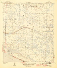
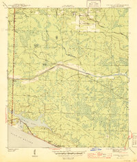
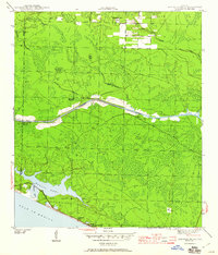
Seminole Hills and the surrounding pine-and-swamp landscape of the Florida Panhandle are captured here during World War II, showing a region defined by its complex hydrology and the engineering of the Intracoastal Waterway. The map illustrates the boundary where Walton Co meets Bay County, with the coastline featuring the expansive Powell Lake and its connection to the Gulf of Mexico at Philips Inlet. Small settlements like County Line Landing and Laird appear alongside the early coastal developments of Hollywood Beach and Sunnyside. The interior is dominated by named wetlands and branches, including Doe Head Swamp, Poley Islands, and Broomstraw Branch, reflecting a period when the timber and turpentine landscape was beginning to give way to permanent coastal road networks and navigation improvements. This survey highlights the intersection of natural drainage systems like Otter Creek and the man-made channel that would reshape the economic geography of the Gulf Coast.
Find a feature on this map
22 named features on this map. Tap any name to fly to it.
Don’t see what you’re looking for? This feature index may not catch every label — zoom into the map to look around manually.
Map Details
Editions of this 1944 Seminole Hills Map
4 editions found
Other maps of this area

1936 · Point Washington
USGS Topo · 1:48,000

1939 · Point Washington
USGS Topo · 1:62,500

1943 · Laguna Beach
USGS Topo · 1:31,680

1943 · Panama City Beach
USGS Topo · 1:31,680

1943 · Seminole Hills
USGS Topo · 1:24,000

1943 · West Bay
USGS Topo · 1:24,000

1944 · West Bay
USGS Topo · 1:31,680

1944 · Bruce
USGS Topo · 1:24,000

1945 · Red Head
USGS Topo · 1:31,680

1945 · Bruce
USGS Topo · 1:31,680