
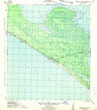
1943 Map of Panama City Beach
USGS Topo · Published 1943About this map
Panama City Beach and the surrounding coastline are captured here in a wartime 1943 survey conducted by the Corps of Engineers. This era precedes the major post-war development of the Emerald Coast, showing the primary coastal highway threading through small, distinct beachfront communities including Betty Lou Beach, Florida Beach, and Long Beach. The map reveals a landscape defined by the proximity of the Gulf of Mexico to the extensive marshlands and inlets of West Bay.
Find a feature on this map
12 named features on this map. Tap any name to fly to it.
Don’t see what you’re looking for? This feature index may not catch every label — zoom into the map to look around manually.
Map Details
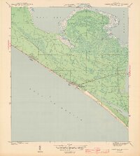
Editions of this 1943 Panama City Beach Map
3 editions found
Other maps of this area

1943 · Beacon Beach
USGS Topo · 1:31,680

1943 · Laguna Beach
USGS Topo · 1:31,680

1943 · Panama City
USGS Topo · 1:31,680

1943 · Seminole Hills
USGS Topo · 1:24,000

1943 · West Bay
USGS Topo · 1:24,000

1943 · Southport
USGS Topo · 1:24,000

1944 · Southport
USGS Topo · 1:24,000

1944 · Seminole Hills
USGS Topo · 1:31,680

1944 · West Bay
USGS Topo · 1:31,680

1954 · Tallahassee
USGS Topo · 1:250,000
Featured Places
- Panama City Beach, FL
- Lower Grand Lagoon, FL
- Biltmore Beach, FL
- Edgewater Gulf Beach, Panama City Beach
- Florida Beach, Panama City Beach