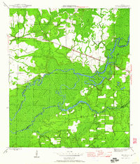
1945 Map of Bruce
USGS Topo · Published 1960About this map
Choctawhatchee River dominates this mid-1940s landscape, winding through a complex network of wetlands and secondary channels including the East River and Pine Log Creek. The topography is defined by the heavy vegetation of the Pine Log State Forest and the low-lying reaches of Cowford Island. Settlement patterns follow the higher ground and river access points, with the village of Bruce situated along the northern road and Ebro to the east near the Washington Co Bay Co line.
Find a feature on this map
37 named features on this map. Tap any name to fly to it.
Don’t see what you’re looking for? This feature index may not catch every label — zoom into the map to look around manually.
Map Details
Editions of this 1945 Bruce Map
3 editions found

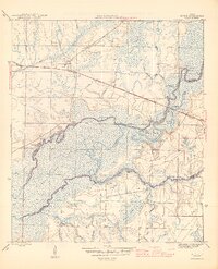
Other maps of this area

1935 · De Funiak Springs
USGS Topo · 1:48,000

1936 · Point Washington
USGS Topo · 1:48,000

1938 · De Funiak Springs
USGS Topo · 1:62,500

1939 · Point Washington
USGS Topo · 1:62,500

1943 · Seminole Hills
USGS Topo · 1:24,000

1943 · West Bay
USGS Topo · 1:24,000

1944 · Seminole Hills
USGS Topo · 1:31,680

1944 · West Bay
USGS Topo · 1:31,680

1944 · Bruce
USGS Topo · 1:24,000

1945 · Red Head
USGS Topo · 1:31,680