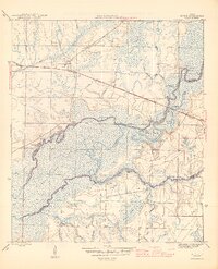
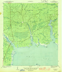
1945 Map of Bruce
USGS Topo · Published 1945About this map
The Choctawhatchee River and its intricate network of bayous and wetlands define this 1945 survey of the Florida panhandle. Just before the post-war era, the landscape was a mosaic of swampy river bottoms and upland pine woods, including the eastern reaches of Pine Log State Forest. Evidence of a river-dependent economy is everywhere, from the Cowford Ferry crossing to numerous riverfront landings such as Miller Landing and Strickland Landing.
Find a feature on this map
36 named features on this map. Tap any name to fly to it.
Don’t see what you’re looking for? This feature index may not catch every label — zoom into the map to look around manually.
Map Details
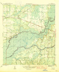
Editions of this 1945 Bruce Map
3 editions found

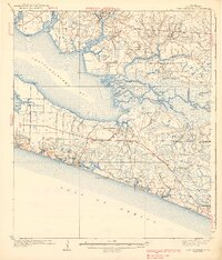
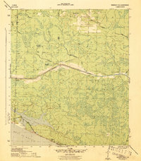
Other maps of this area

1935 · De Funiak Springs
USGS Topo · 1:48,000

1936 · Point Washington
USGS Topo · 1:48,000

1938 · De Funiak Springs
USGS Topo · 1:62,500
1939 · Point Washington
USGS Topo · 1:62,500

1943 · Seminole Hills
USGS Topo · 1:24,000

1943 · West Bay
USGS Topo · 1:24,000
1944 · Seminole Hills
USGS Topo · 1:31,680
1944 · West Bay
USGS Topo · 1:31,680

1944 · Bruce
USGS Topo · 1:24,000
1945 · Red Head
USGS Topo · 1:31,680