Old Maps of Westville (closed), Georgia for Metal Detecting
Plan your next treasure hunt with 13 historic maps of Westville (closed). Find old homesites, ghost towns, trails, and gathering spots that may be lost to time — perfect for identifying promising metal detecting locations.
- Locate forgotten sites: Uncover places like long-lost settlements, abandoned rail lines, or gathering spots.
- Plan better hunts: Use map overlays combined with LiDAR or satellite views to narrow in on historically rich areas.
- Made for detectorists: Thousands of hobbyists use these maps to discover relics, coins, and hidden history.
Use these historic maps to boost your research and find new opportunities beneath the surface of Westville (closed).
Westville (closed), GA maps
(13)- 1950 Map of Lumpkin, 1953 Print
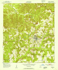 1950 Lumpkin1953 Print · USGSLumpkin and the surrounding Stewart County countryside are captured here in the early postwar years, centered on the Seaboard Air Line railroad. You can trace local genealogy through several rural landmarks, including Snarlers Chapel, Ben Daniel Sch, and the Stewart County Prison Farm.
 - 1950 Map of Lumpkin, 1955 Print
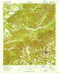 1950 Lumpkin1955 Print · USGSStewart County and the Chattahoochee River valley appear in the mid-fifties as a landscape of deep canyons, family farmsteads, and rail-side settlements. Researchers can trace local genealogy through numerous sites like Fitzgerald Cem, Oak Grove Sch, and Ushers Mill Pond.
 - 1955 Map of Lumpkin, 1959 Print
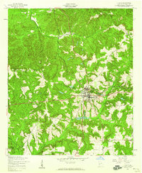 1955 Lumpkin1959 Print · USGSLumpkin and its surrounding Stewart County countryside are captured here in the mid-1950s as a thriving railroad and agricultural hub. Researchers can trace historic family sites and rural infrastructure, from Humbers Mission to the local Dowd Sch and the Seaboard Air Line tracks.3 unique versions available
 - 1955 Map of Lumpkin, 1961 Print
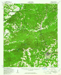 1955 Lumpkin1961 Print · USGSIn the mid-1950s, this portion of Stewart County was defined by its dramatic geology and rural church networks. Genealogists and historians can trace family land at Heard Place, locate the Louvale Station on the Seaboard Air Line, or find the Providence Canyons.
 - 1955 Map of Phenix City, 1964 Print
 1955 Phenix City1964 Print · USGSPost-war Alabama and Georgia meet along the Chattahoochee River as industry and military installations expand. Trace the rail lines of the Central of Georgia through towns like Opelika, Tuskegee, and Alexander City.3 unique versions available
 - 1957 Map of Phenix City
 1957 Phenix City1957 Print · USGSThe Alabama-Georgia borderlands are captured here in the mid-fifties, centered on the bustling river crossing at Phenix City and Columbus. Researchers can trace the mid-century footprint of the Fort Benning Military Reservation or locate smaller textile and railroad towns like Langdale and Camp Hill.
 - 1958 Map of Phenix City
 1958 Phenix City1958 Print · USGSThe Alabama-Georgia borderlands thrive during the late fifties, anchored by the river-driven industry of Columbus and Phenix City. Researchers can trace the mid-century footprints of Fort Benning, Auburn, and the textile towns of Fairfax and Lanett.
 - 1981 Map of Americus, 1982 Print
 1981 Americus1982 Print · USGSWest Georgia and East Alabama appear here during the early 1980s, showcasing the transition from military reservation to agricultural heartland. Researchers can trace the Central of Georgia rail lines through towns like Plains, Ellaville, and the historic site of Andersonville.
 - 2011 Map of Lumpkin, 2011 Print
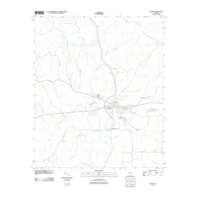 2011 Lumpkin2011 Print · USGSCovers Westville (closed), including Lumpkin, Stewart County, and other nearby areas
 - 2014 Map of Lumpkin, 2014 Print
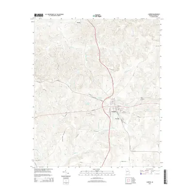 2014 Lumpkin2014 Print · USGSCovers Westville (closed), including Lumpkin, Stewart County, and other nearby areas
 - 2017 Map of Lumpkin, 2017 Print
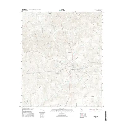 2017 Lumpkin2017 Print · USGSCovers Westville (closed), including Lumpkin, Stewart County, and other nearby areas
 - 2020 Map of Lumpkin, 2020 Print
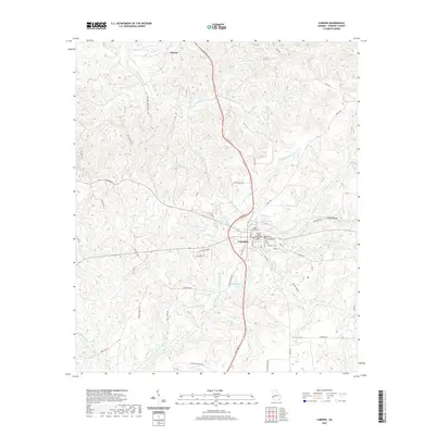 2020 Lumpkin2020 Print · USGSCovers Westville (closed), including Lumpkin, Stewart County, and other nearby areas
 - 2024 Map of Lumpkin, 2024 Print
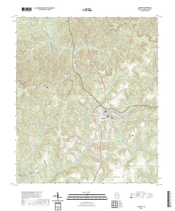 2024 Lumpkin2024 Print · USGSLumpkin and the rural expanses of Stewart County are documented here in recent detail, revealing a landscape steeped in local genealogy. Researchers can trace family sites at Shady Grove Baptist Church Cem, the Stewart County Courthouse, and Ushers Millpond.
End of results
Showing maps 1-13 of 13
Top cities near Westville (closed)
Frequently asked questions
- What are the different types of historical maps available for Westville (closed)?
- What is the oldest map of Westville (closed)?
- Where can I purchase historical maps of Westville (closed) for my home or office?
- Where can I download high-res historical maps of Westville (closed)?
- Are there historical topographic maps available for Westville (closed)?
- Is there historical aerial imagery available for Westville (closed)?
- Where are historical maps of Westville (closed) sourced from?