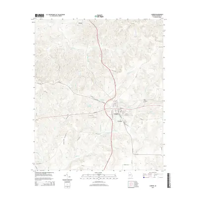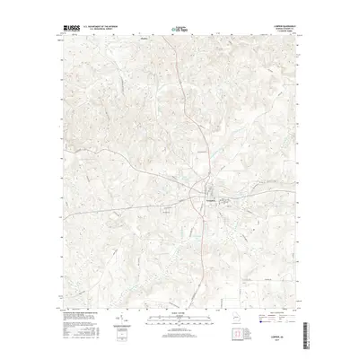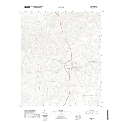
1950 Map of Lumpkin
USGS Topo · Published 1953About this map
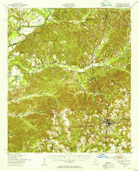
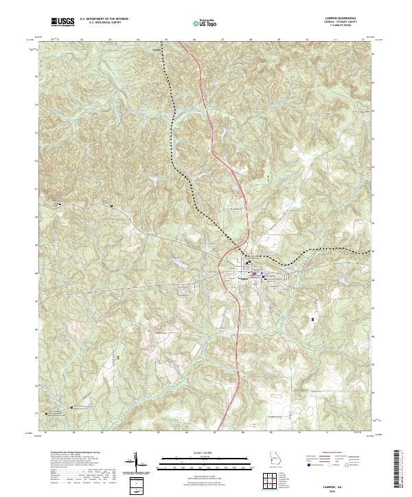
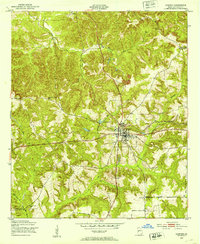
Lumpkin serves as the central hub for this mid-century portrait of Stewart County, Georgia, where the Seaboard Air Line railroad cuts through the terrain. The landscape is defined by a dense network of educational and spiritual landmarks, including the Dord Vocational Sch near the town center and more remote institutions like Greater New Hope Sch and Ben Daniel Sch. Several rural congregations are established here, such as Shady Grove Ch and the distinctively named Snarlers Chapel in the southwest corner.
Find a feature on this map
21 named features on this map. Tap any name to fly to it.
Don’t see what you’re looking for? This feature index may not catch every label — zoom into the map to look around manually.
Map Details
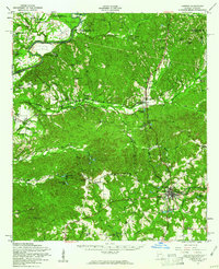
Editions of this 1950 Lumpkin Map
This is the sole edition of this map. No revisions or reprints were ever made.
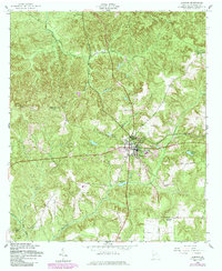
Historical Maps of Lumpkin Through Time
9 maps found