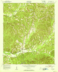
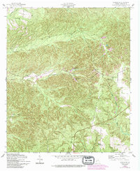
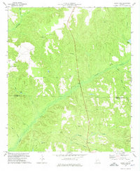
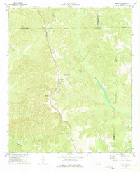
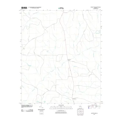
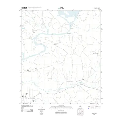
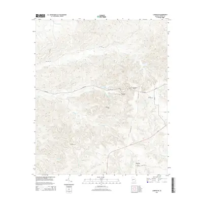
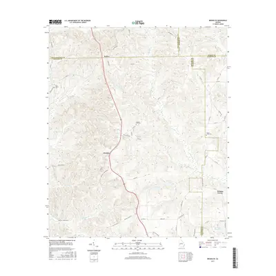
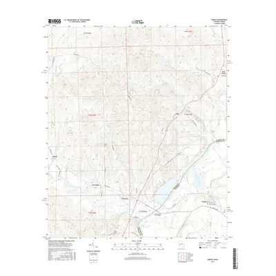
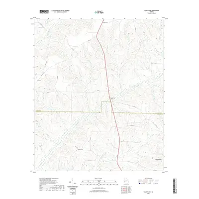
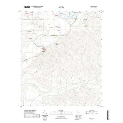
1950 Map of Louvale
USGS Topo · Published 1953About this map
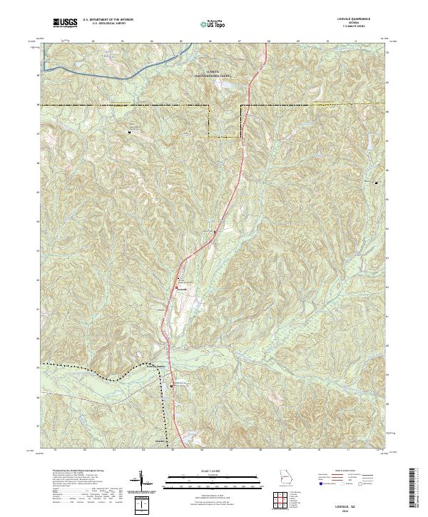
Louvale and its surrounding rural landscapes in Stewart County are documented here just as the post-war era began to reshape the Georgia countryside. The settlement pattern follows the drainage of Hannahatchee Creek and Colochee Creek, where small communities and family-named landmarks are connected by the Seaboard Line railroad. The geography reveals a community built around local institutions, featuring Mt Gilead Ch, Bethlehem Ch, and the Louvale Sch. To the north, the boundary between Chattahoochee and Stewart Counties cuts through a dense network of tributaries including Hichitee Creek and Black Creek. The presence of Louvale Station and the southern settlement of Charles illustrates the rail-dependent economy of the mid-20th century, providing a clear record for genealogists and local historians tracing families and properties in this section of Southwest Georgia.
Find a feature on this map
19 named features on this map. Tap any name to fly to it.
Don’t see what you’re looking for? This feature index may not catch every label — zoom into the map to look around manually.
Map Details
Editions of this 1950 Louvale Map
This is the sole edition of this map. No revisions or reprints were ever made.
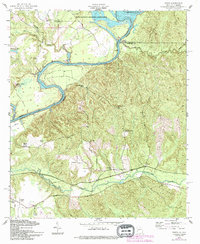
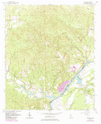
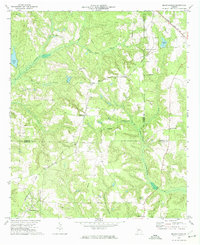
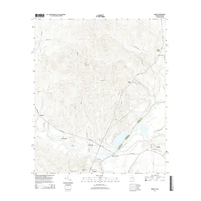
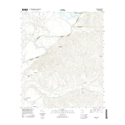
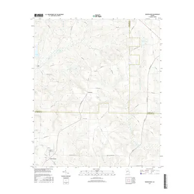
Historical Maps of Louvale Station Through Time
45 maps found
1949 Julia
Stewart County, GA
1950 Louvale
Stewart County, GA
1950 Lumpkin SW
Stewart County, GA
1955 Louvale
Stewart County, GA
1955 Lumpkin SW
Stewart County, GA
1955 Union
Stewart County, GA
1957 Omaha
Stewart County, GA
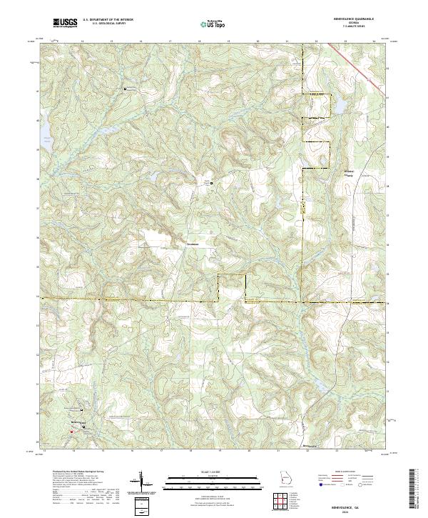
1972 Benevolence
Stewart County, GA
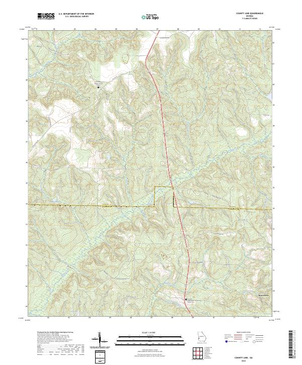
1972 County Line
Stewart County, GA
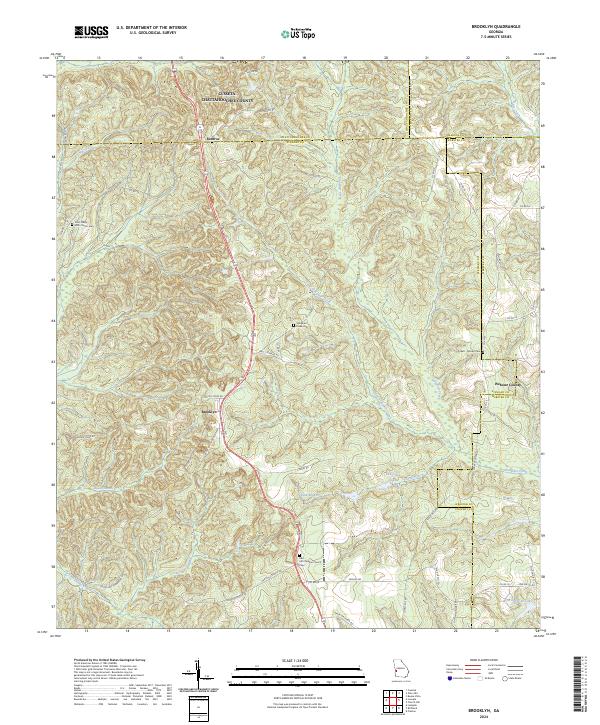
1973 Brooklyn
Stewart County, GA
2011 Benevolence
Stewart County, GA
2011 Brooklyn
Stewart County, GA
2011 County Line
Stewart County, GA
2011 Louvale
Stewart County, GA
2011 Lumpkin SW
Stewart County, GA
2011 Omaha
Stewart County, GA
2011 Union
Stewart County, GA

2014 Benevolence
Stewart County, GA
2014 Brooklyn
Stewart County, GA
2014 County Line
Stewart County, GA
2014 Louvale
Stewart County, GA
2014 Lumpkin SW
Stewart County, GA
2014 Omaha
Stewart County, GA
2014 Union
Stewart County, GA
2017 Benevolence
Stewart County, GA
2017 Brooklyn
Stewart County, GA
2017 County Line
Stewart County, GA
2017 Louvale
Stewart County, GA
2017 Lumpkin SW
Stewart County, GA
2017 Omaha
Stewart County, GA
2017 Union
Stewart County, GA
2020 Benevolence
Stewart County, GA
2020 Brooklyn
Stewart County, GA
2020 County Line
Stewart County, GA
2020 Louvale
Stewart County, GA
2020 Lumpkin SW
Stewart County, GA
2020 Omaha
Stewart County, GA
2020 Union
Stewart County, GA
2024 Benevolence
Stewart County, GA
2024 Brooklyn
Stewart County, GA
2024 County Line
Stewart County, GA
2024 Louvale
Stewart County, GA
2024 Lumpkin SW
Stewart County, GA
2024 Omaha
Stewart County, GA
2024 Union
Stewart County, GA