
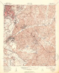
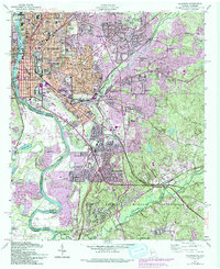
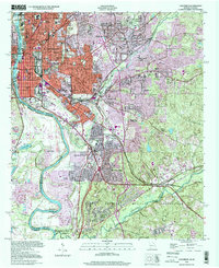
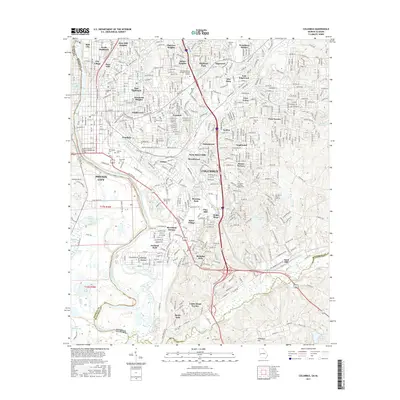
1947 Map of Columbus
USGS Topo · Published 1954About this map
The Fort Benning Military Reservation dominates the eastern half of this survey, revealing a landscape of training grounds and tactical housing just after World War II. While the city of Columbus is densely developed in the northwest near the Chattahoochee River, the military land is marked by scores of family-named heights such as Woodward Hill, Tally Hill, and McLaughlin Hill. These topographical landmarks are interspersed with specialized military settlements like Yankee Village, Imperial City, and Heiberg Village.
Find a feature on this map
96 named features on this map. Tap any name to fly to it.
Don’t see what you’re looking for? This feature index may not catch every label — zoom into the map to look around manually.
Map Details
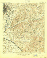
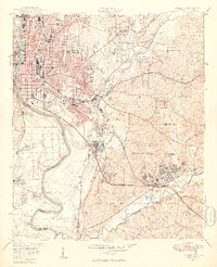
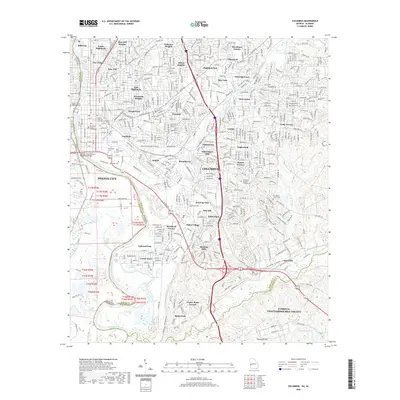
Editions of this 1947 Columbus Map
2 editions found
Historical Maps of Columbus Through Time
12 maps found
1908 Columbus
Muscogee County, GA

1929 Columbus
Muscogee County, GA
1947 Columbus
Muscogee County, GA
1949 Columbus
Muscogee County, GA
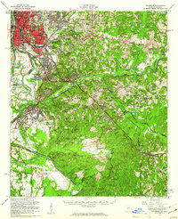
1955 Columbus
Muscogee County, GA
1955 Columbus
Muscogee County, GA
1999 Columbus
Muscogee County, GA
2011 Columbus
Muscogee County, GA
2014 Columbus
Muscogee County, GA
2017 Columbus
Muscogee County, GA
2020 Columbus
Muscogee County, GA
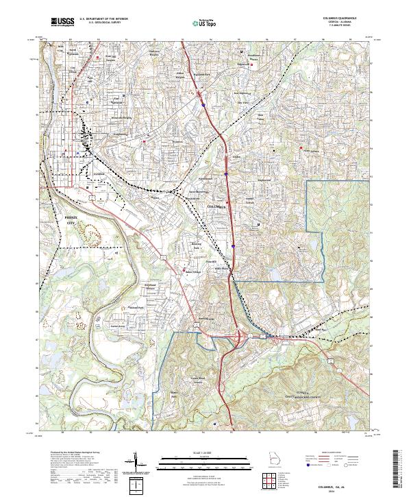
2024 Columbus
Muscogee County, GA