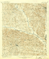
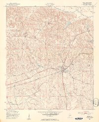
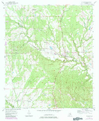
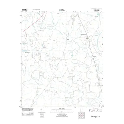
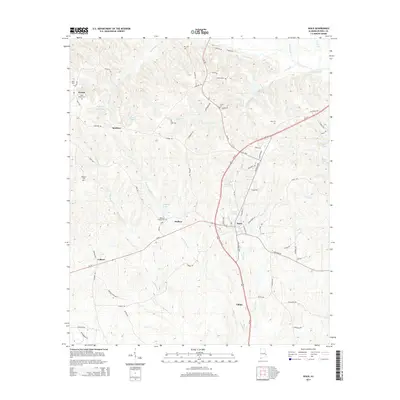
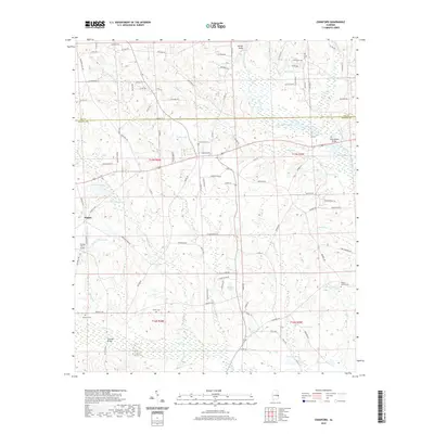
1914 Map of Seale
USGS Topo · Published 1914About this map
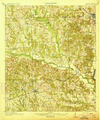
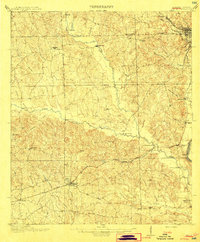
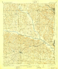
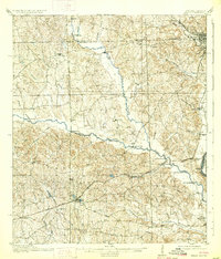
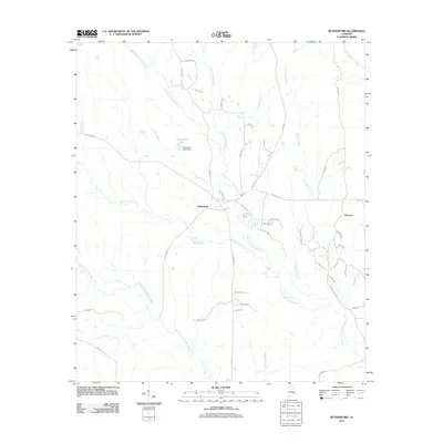
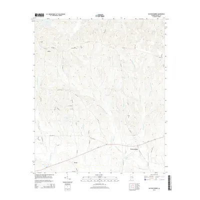
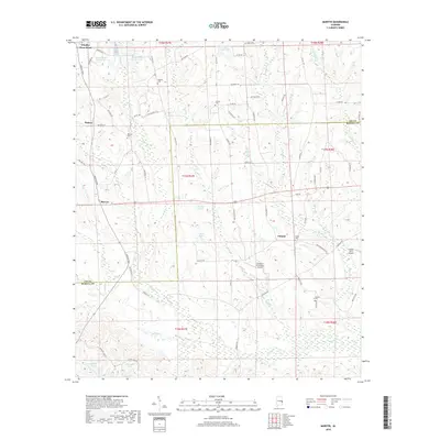
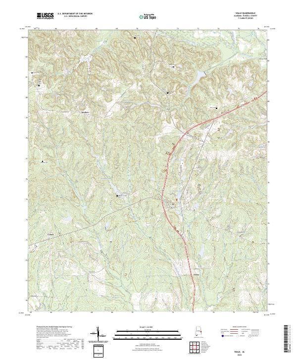
Seale serves as a primary rail hub in this survey of East Alabama, situated at the junction of the Central of Georgia and the Vandalusia Line. The landscape is defined by the winding course of Uchee Creek, which gathers numerous tributaries like Little Uchee Creek and Hospitika Creek as it moves toward the state boundary. Near the river, the site of Fort Mitchell and the Burdock Landing highlight the area's early strategic and commercial importance along the border with Georgia. The map documents a rural network of river crossings, including Perrys Ford and Nuckolls Bridge, alongside small agrarian communities such as Sand Fort, Vilula, and Ladonia. Industrial activity is noted at the Brickyard near Flournoy, while local education is represented by the Kite School in the southern reaches of the county.
Find a feature on this map
53 named features on this map. Tap any name to fly to it.
Don’t see what you’re looking for? This feature index may not catch every label — zoom into the map to look around manually.
Map Details
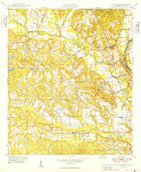
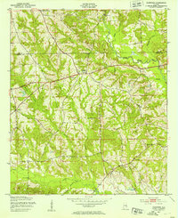
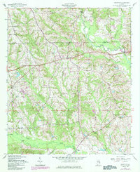
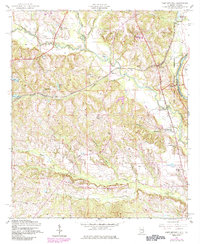
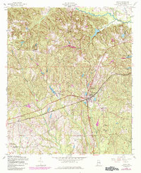
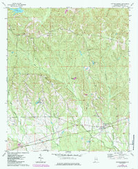
Editions of this 1914 Seale Map
6 editions found
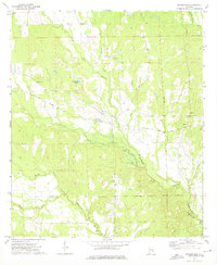
Historical Maps of Phenix City Through Time
48 maps found
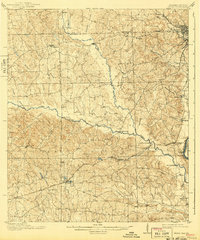
1914 Seale
Russell County, AL
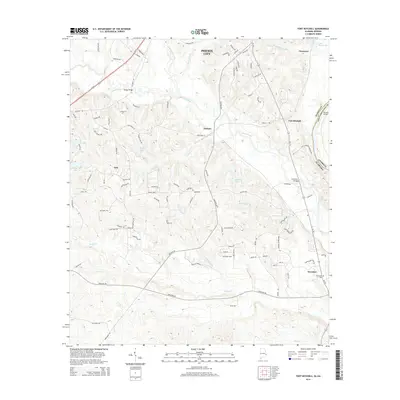
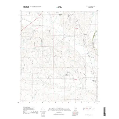
1949 Fort Mitchell
Russell County, AL
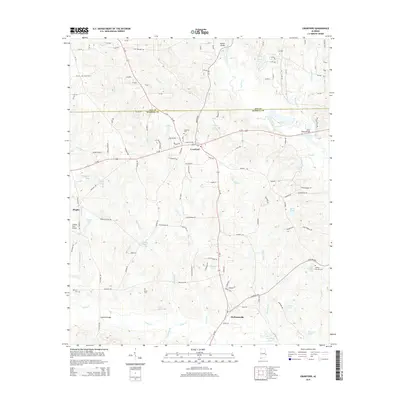
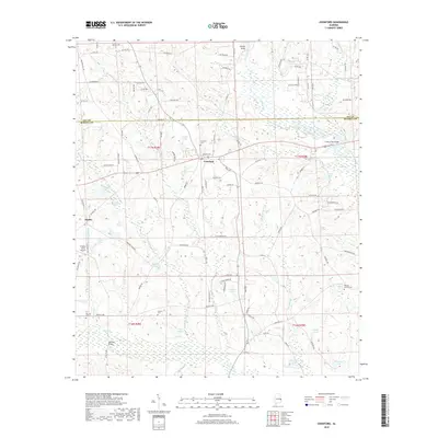
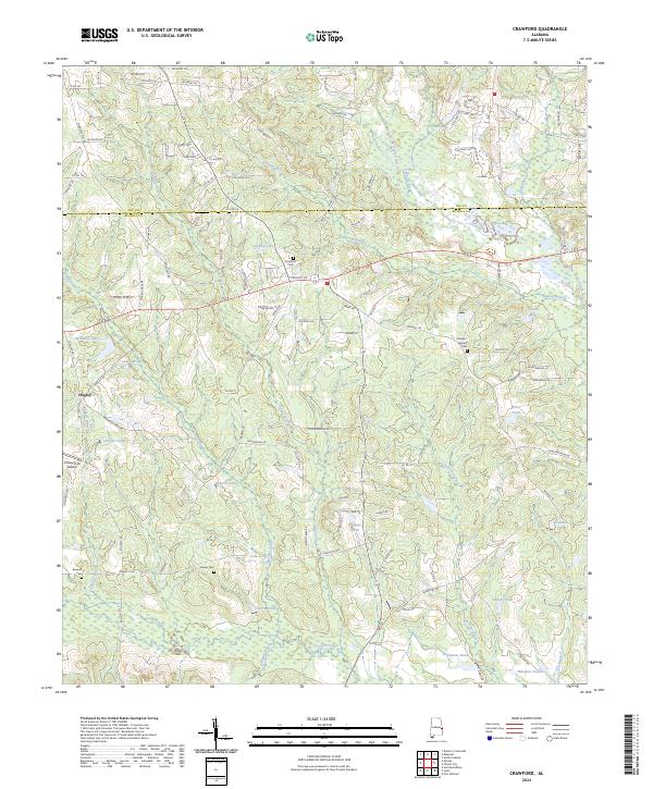
1950 Crawford
Russell County, AL
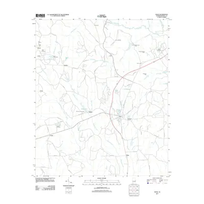
1950 Seale
Russell County, AL

1950 Seale
Russell County, AL
1955 Crawford
Russell County, AL
1955 Fort Mitchell
Russell County, AL

1955 Seale
Russell County, AL
1955 Seale
Russell County, AL
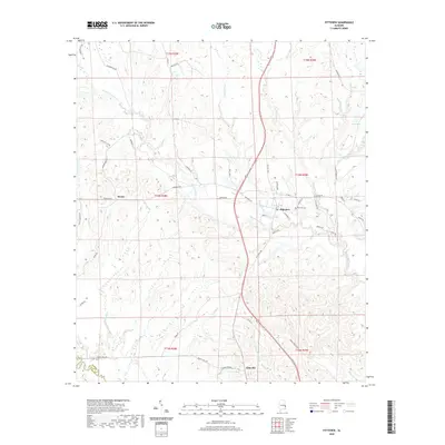
1957 Pittsview
Russell County, AL

1971 Marvyn
Russell County, AL
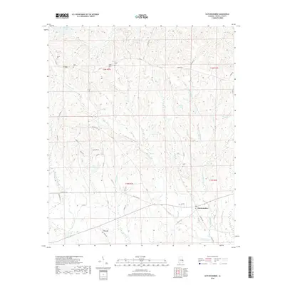
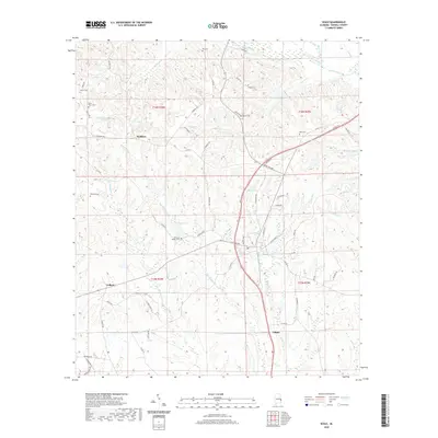
1973 Hatchechubbee
Russell County, AL
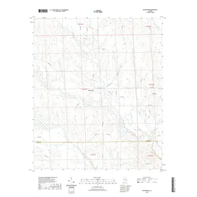
1973 Rutherford
Russell County, AL
2011 Crawford
Russell County, AL
2011 Fort Mitchell
Russell County, AL
2011 Hatchechubbee
Russell County, AL
2011 Marvyn
Russell County, AL
2011 Pittsview
Russell County, AL
2011 Rutherford
Russell County, AL
2011 Seale
Russell County, AL
2014 Crawford
Russell County, AL
2014 Fort Mitchell
Russell County, AL
2014 Hatchechubbee
Russell County, AL
2014 Marvyn
Russell County, AL
2014 Pittsview
Russell County, AL
2014 Rutherford
Russell County, AL
2014 Seale
Russell County, AL
2018 Crawford
Russell County, AL
2018 Fort Mitchell
Russell County, AL
2018 Hatchechubbee
Russell County, AL
2018 Marvyn
Russell County, AL
2018 Pittsview
Russell County, AL
2018 Rutherford
Russell County, AL
2018 Seale
Russell County, AL
2020 Crawford
Russell County, AL
2020 Fort Mitchell
Russell County, AL
2020 Hatchechubbee
Russell County, AL
2020 Marvyn
Russell County, AL
2020 Pittsview
Russell County, AL
2020 Rutherford
Russell County, AL
2020 Seale
Russell County, AL
2024 Crawford
Russell County, AL

2024 Fort Mitchell
Russell County, AL
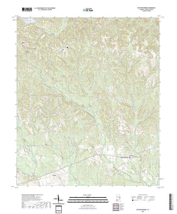
2024 Hatchechubbee
Russell County, AL
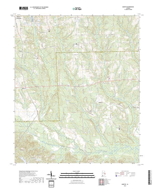
2024 Marvyn
Russell County, AL
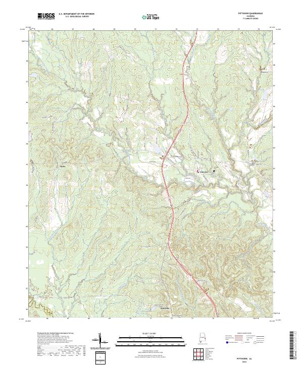
2024 Pittsview
Russell County, AL
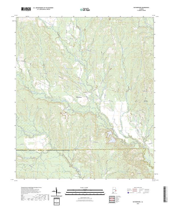
2024 Rutherford
Russell County, AL
2024 Seale
Russell County, AL