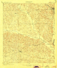
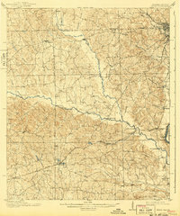
1914 Map of Seale
USGS Topo · Published 1914About this map
Fort Mitchell and the surrounding borderlands of Russell County stand as a testament to the early 20th-century landscape of eastern Alabama. The Central of Georgia railroad serves as the primary industrial artery, connecting the settlement of Seale to the growing riverfront hubs of Phoenix and Girard along the Chattahoochee River. This era is defined by a reliance on water crossings and small rural centers, where numerous named spans like Thomas Bridge and Youngs Bridge traverse Uchee Creek. Local education and community life are anchored by landmarks such as Kites School and established settlements like Crawford and Sand Fort. The map reveals a highly connected network of small branches and creeks, including Cochgalechee Creek and Hospilika Creek, illustrating the drainage patterns that shaped regional agriculture and settlement before modern infrastructure transformed the Chattahoochee valley.
Find a feature on this map
45 named features on this map. Tap any name to fly to it.
Don’t see what you’re looking for? This feature index may not catch every label — zoom into the map to look around manually.
Map Details
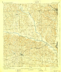
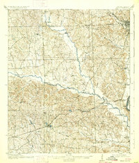
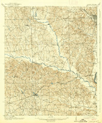
Editions of this 1914 Seale Map
6 editions found
Other maps of this area

1907 · Talbotton
USGS Topo · 1:125,000

1907 · Opelika
USGS Topo · 1:125,000

1908 · Columbus
USGS Topo · 1:62,500

1909 · Opelika
USGS Topo · 1:125,000

1914 · Seale
USGS Topo · 1:62,500

1929 · Columbus
USGS Topo · 1:48,000

1947 · Columbus
USGS Topo · 1:62,500

1949 · Fort Mitchell
USGS Topo · 1:24,000

1949 · Julia
USGS Topo · 1:24,000

1949 · Columbus
USGS Topo · 1:24,000