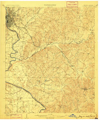
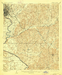
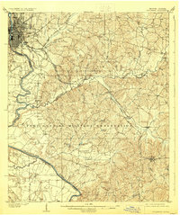
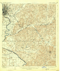
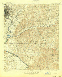
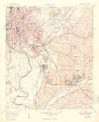
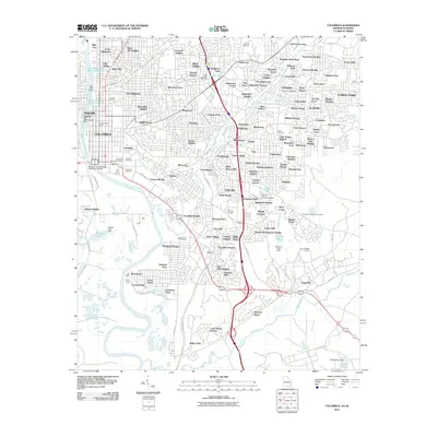
1908 Map of Columbus
USGS Topo · Published 1908About this map
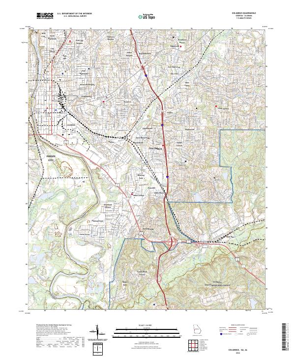
The Chattahoochee River serves as the dominant artery of this early 20th-century landscape, defining the state boundary between Georgia and Alabama. In Columbus, the dense street grid and rail infrastructure highlight a bustling regional hub, while the surrounding Muscogee and Chattahoochee counties remain largely agrarian. This era is characterized by river-dependent transit and commerce, evidenced by river landings such as Bradley Ldg and Cody LDG.
Find a feature on this map
49 named features on this map. Tap any name to fly to it.
Don’t see what you’re looking for? This feature index may not catch every label — zoom into the map to look around manually.
Map Details
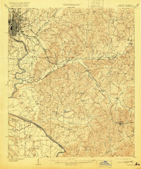
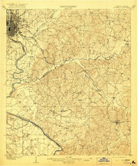
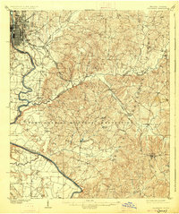
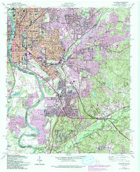
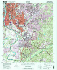
Editions of this 1908 Columbus Map
8 editions found
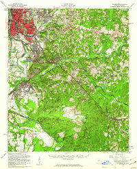
Historical Maps of Columbus Through Time
12 maps found
1908 Columbus
Muscogee County, GA

1929 Columbus
Muscogee County, GA

1947 Columbus
Muscogee County, GA
1949 Columbus
Muscogee County, GA
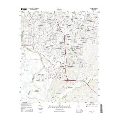
1955 Columbus
Muscogee County, GA
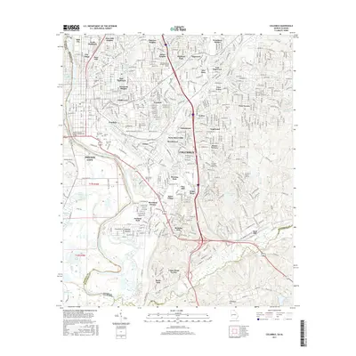
1955 Columbus
Muscogee County, GA
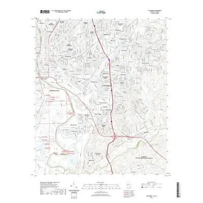
1999 Columbus
Muscogee County, GA
2011 Columbus
Muscogee County, GA
2014 Columbus
Muscogee County, GA
2017 Columbus
Muscogee County, GA
2020 Columbus
Muscogee County, GA
2024 Columbus
Muscogee County, GA