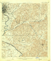
1908 Map of Columbus
USGS Topo · Published 1931About this map
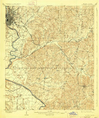
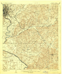
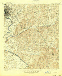
Columbus serves as a bustling riverfront hub on the Chattahoochee River in this early twentieth-century survey, revealing the city's grid-iron street plan alongside the Central of Georgia RR. South of the city, the landscape transforms into the vast Fort Benning Military Reservation, where the terrain is defined by a complex network of creeks like Upatoie Creek and Ochillee Creek.
Find a feature on this map
52 named features on this map. Tap any name to fly to it.
Don’t see what you’re looking for? This feature index may not catch every label — zoom into the map to look around manually.
Map Details
Editions of this 1908 Columbus Map
8 editions found
Other maps of this area

1907 · Talbotton
USGS Topo · 1:125,000

1907 · Opelika
USGS Topo · 1:125,000

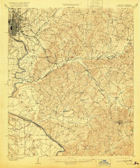
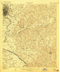
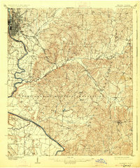
1908 · Columbus
USGS Topo · 1:62,500

1909 · Opelika
USGS Topo · 1:125,000

1914 · Seale
USGS Topo · 1:62,500

1929 · Columbus
USGS Topo · 1:48,000

1947 · Columbus
USGS Topo · 1:62,500

1949 · Midland
USGS Topo · 1:24,000

1949 · Fort Mitchell
USGS Topo · 1:24,000

1949 · Glen Alta
USGS Topo · 1:24,000