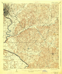
1908 Map of Columbus
USGS Topo · Published 1926About this map
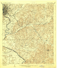
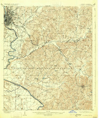
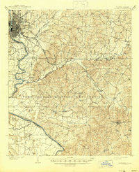
The Chattahoochee River defines the western edge of this early twentieth-century landscape, serving as the state boundary between Georgia and Alabama. In the northwest, the city of Columbus shows a dense street grid alongside the Central of Georgia rail lines, while further south, the massive Fort Benning Military Reservation dominates the interior. This era reveals a river-driven economy before modern infrastructure took hold, with established river landings such as Bonacre Ldg, Bradley Ldg, and Cody Ldg marking key transport points along the winding water.
Find a feature on this map
46 named features on this map. Tap any name to fly to it.
Don’t see what you’re looking for? This feature index may not catch every label — zoom into the map to look around manually.
Map Details
Editions of this 1908 Columbus Map
8 editions found
Other maps of this area

1907 · Talbotton
USGS Topo · 1:125,000

1907 · Opelika
USGS Topo · 1:125,000

1908 · Columbus
USGS Topo · 1:62,500

1909 · Opelika
USGS Topo · 1:125,000

1914 · Seale
USGS Topo · 1:62,500

1929 · Columbus
USGS Topo · 1:48,000

1947 · Columbus
USGS Topo · 1:62,500

1949 · Midland
USGS Topo · 1:24,000

1949 · Fort Mitchell
USGS Topo · 1:24,000

1949 · Glen Alta
USGS Topo · 1:24,000