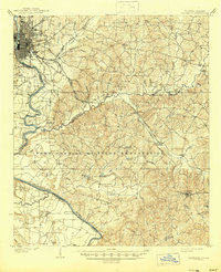
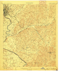
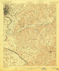
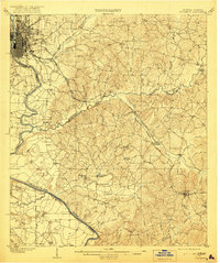
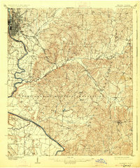
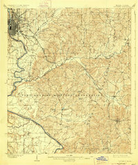
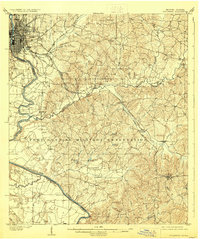
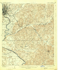
1908 Map of Columbus
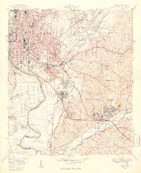
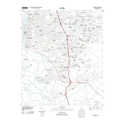
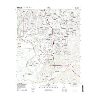
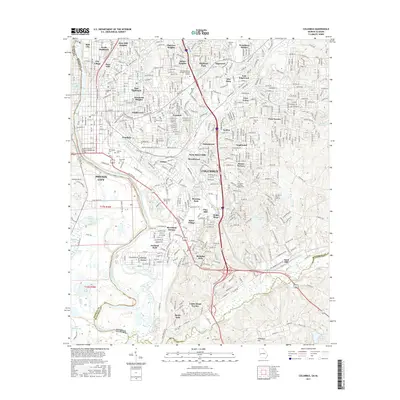
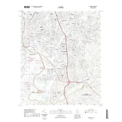
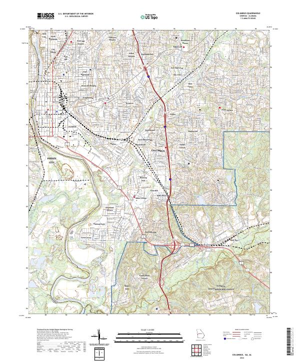
USGS Topo · Published 1945About this map
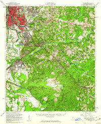
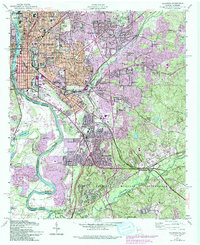
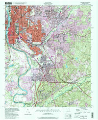
Columbus serves as the industrial and transport anchor at the fall line of the Chattahoochee River, where the Central of Georgia RR and Southern RR converge. This early twentieth-century landscape is defined by the massive Fort Benning Military Reservation which occupies the central and southern reaches, encompassing numerous small creeks and family-named landmarks. The terrain transitions from the urban grid of the city to the creek-fed hills where agricultural and early industrial sites like Cottage Mills and Cooks Mill operated. Smaller rural communities and river landings such as Bonacre Ldg and Oswichee are visible, alongside institutional landmarks like the County Farm. This survey records the region just as the military presence began to reshape the social and physical geography of Muscogee and Chattahoochee counties.
Find a feature on this map
53 named features on this map. Tap any name to fly to it.
Don’t see what you’re looking for? This feature index may not catch every label — zoom into the map to look around manually.
Map Details
Editions of this 1908 Columbus Map
8 editions found
Historical Maps of Columbus Through Time
12 maps found
1908 Columbus
Muscogee County, GA

1929 Columbus
Muscogee County, GA

1947 Columbus
Muscogee County, GA
1949 Columbus
Muscogee County, GA
1955 Columbus
Muscogee County, GA
1955 Columbus
Muscogee County, GA
1999 Columbus
Muscogee County, GA
2011 Columbus
Muscogee County, GA
2014 Columbus
Muscogee County, GA
2017 Columbus
Muscogee County, GA
2020 Columbus
Muscogee County, GA
2024 Columbus
Muscogee County, GA