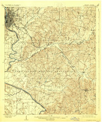
1908 Map of Columbus
USGS Topo · Published 1929About this map
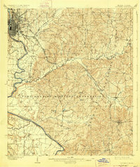
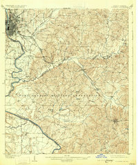
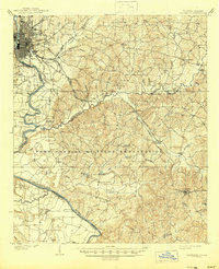
The industrial and riverfront hub of Columbus anchors the northwest corner of this study, where the Chattahoochee River forms the state boundary between Georgia and Alabama. At this time, the city’s urban grid and rail infrastructure connect to a largely rural landscape of plantation-era legacy and burgeoning military presence. A significant portion of the sheet is dominated by the Fort Benning Military Reservation, which spans across Muscogee and Chattahoochee counties.
Find a feature on this map
54 named features on this map. Tap any name to fly to it.
Don’t see what you’re looking for? This feature index may not catch every label — zoom into the map to look around manually.
Map Details
Editions of this 1908 Columbus Map
8 editions found
Other maps of this area

1907 · Talbotton
USGS Topo · 1:125,000

1907 · Opelika
USGS Topo · 1:125,000

1908 · Columbus
USGS Topo · 1:62,500

1909 · Opelika
USGS Topo · 1:125,000

1914 · Seale
USGS Topo · 1:62,500

1929 · Columbus
USGS Topo · 1:48,000

1947 · Columbus
USGS Topo · 1:62,500

1949 · Midland
USGS Topo · 1:24,000

1949 · Fort Mitchell
USGS Topo · 1:24,000

1949 · Glen Alta
USGS Topo · 1:24,000