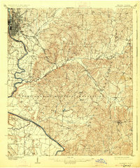
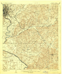
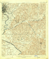
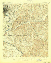
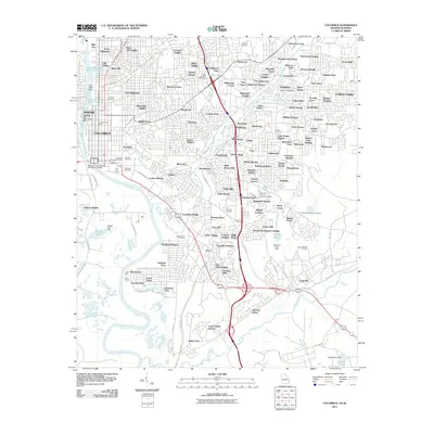
1908 Map of Columbus
USGS Topo · Published 1928About this map
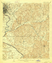
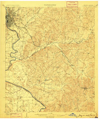
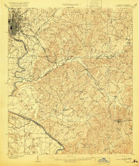
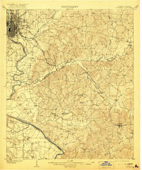
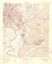
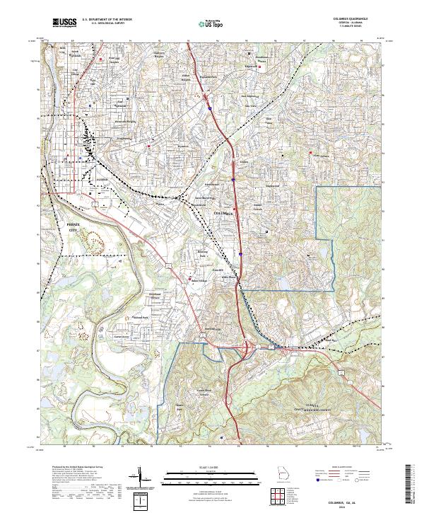
The Columbus riverfront and the expansive Fort Benning Military Reservation anchor this topographic survey. Established along the Chattahoochee River, the urban grid of the city transitions into the industrial and agricultural landscape of the surrounding counties. The map traces early transportation corridors like the Seaboard Air Line RR and Central of Georgia RR, which moved cotton and timber across the region. Rural life is evidenced by family-named sites and landmarks such as Cooks Mills and Cottage Mills, while community centers are represented by the Goodhope Church and Midway Church. The survey captures the river's vital role in navigation and trade, documenting landings like Bonacre Ldg and Cody Ldg, which were essential points of contact before modern bridge networks fully connected the Georgia and Alabama banks.
Find a feature on this map
47 named features on this map. Tap any name to fly to it.
Don’t see what you’re looking for? This feature index may not catch every label — zoom into the map to look around manually.
Map Details
Editions of this 1908 Columbus Map
8 editions found
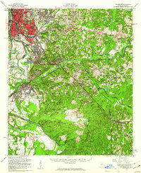
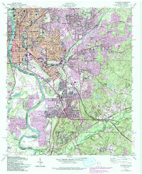
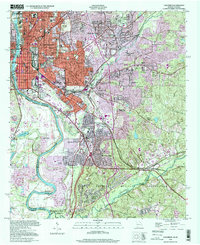
Historical Maps of Columbus Through Time
12 maps found
1908 Columbus
Muscogee County, GA

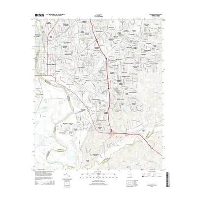
1929 Columbus
Muscogee County, GA

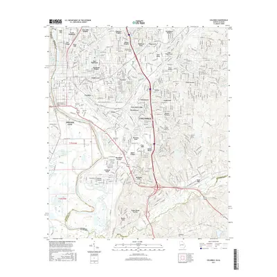
1947 Columbus
Muscogee County, GA
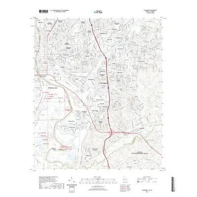
1949 Columbus
Muscogee County, GA
1955 Columbus
Muscogee County, GA
1955 Columbus
Muscogee County, GA
1999 Columbus
Muscogee County, GA
2011 Columbus
Muscogee County, GA
2014 Columbus
Muscogee County, GA
2017 Columbus
Muscogee County, GA
2020 Columbus
Muscogee County, GA
2024 Columbus
Muscogee County, GA