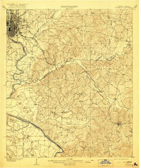
1908 Map of Columbus
USGS Topo · Published 1921About this map
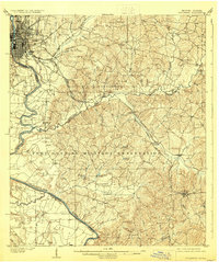
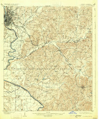
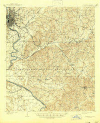
Columbus serves as the industrial and transit anchor at the western edge of this territory, where the Chattahoochee River carves the border between Georgia and Alabama. Surveyed in the first decade of the 1900s, the map reveals a dense network of early transportation routes, including the Central of Georgia RR and the Seaboard Air Line RR cutting through the interior. East of the city, the landscape transitions into a series of smaller rural hubs and family landmarks like Cottage Mills and Cooks Mills.
Find a feature on this map
46 named features on this map. Tap any name to fly to it.
Don’t see what you’re looking for? This feature index may not catch every label — zoom into the map to look around manually.
Map Details
Editions of this 1908 Columbus Map
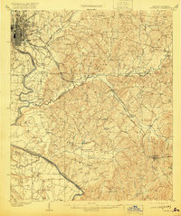
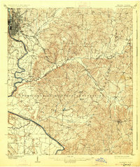
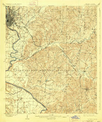
8 editions found
Other maps of this area

1907 · Talbotton
USGS Topo · 1:125,000

1907 · Opelika
USGS Topo · 1:125,000

1908 · Columbus
USGS Topo · 1:62,500

1909 · Opelika
USGS Topo · 1:125,000

1914 · Seale
USGS Topo · 1:62,500

1929 · Columbus
USGS Topo · 1:48,000

1947 · Columbus
USGS Topo · 1:62,500

1949 · Midland
USGS Topo · 1:24,000

1949 · Fort Mitchell
USGS Topo · 1:24,000

1949 · Glen Alta
USGS Topo · 1:24,000