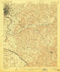
1908 Map of Columbus
USGS Topo · Published 1920About this map
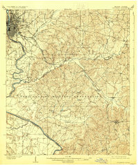
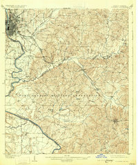
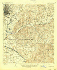
The Columbus industrial and riverfront district serves as the anchor of this early twentieth-century survey, where the gridiron city streets meet the Chattahoochee River at the Georgia-Alabama border. The landscape to the east and south transitions into a series of creek valleys and ridges, defined by the winding course of Upatoi Creek and Uchee Creek. Transportation during this era relied heavily on the Central of Georgia RR and the Seaboard Air Line, which cut through the terrain toward rural outposts like Cusseta. Local life is recorded through the placement of rural landmarks such as Emmaus Church, Midway Church, and the County Farm north of the city. Water-powered industry is evident at Cooks Mill on Cooks Branch, while river traffic is noted at Bradley Ldg, highlighting the era's dependence on the river-and-rail network for commerce and connectivity.
Find a feature on this map
55 named features on this map. Tap any name to fly to it.
Don’t see what you’re looking for? This feature index may not catch every label — zoom into the map to look around manually.
Map Details
Editions of this 1908 Columbus Map
8 editions found
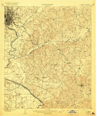
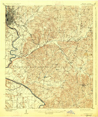
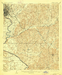
Other maps of this area

1907 · Talbotton
USGS Topo · 1:125,000

1907 · Opelika
USGS Topo · 1:125,000

1908 · Columbus
USGS Topo · 1:62,500

1909 · Opelika
USGS Topo · 1:125,000

1914 · Seale
USGS Topo · 1:62,500

1929 · Columbus
USGS Topo · 1:48,000

1947 · Columbus
USGS Topo · 1:62,500

1949 · Midland
USGS Topo · 1:24,000

1949 · Fort Mitchell
USGS Topo · 1:24,000

1949 · Glen Alta
USGS Topo · 1:24,000